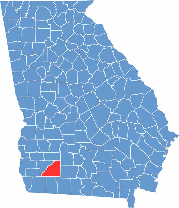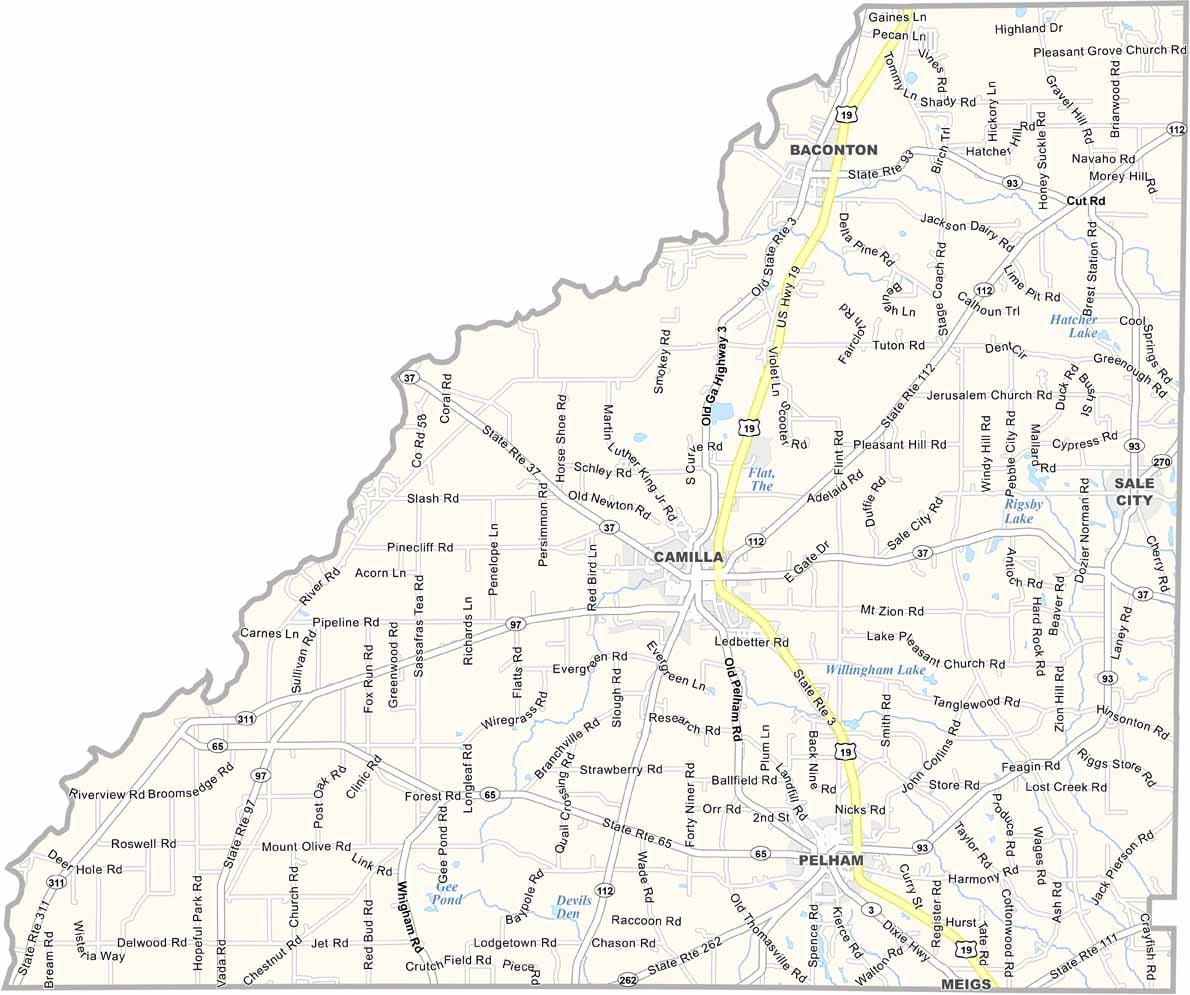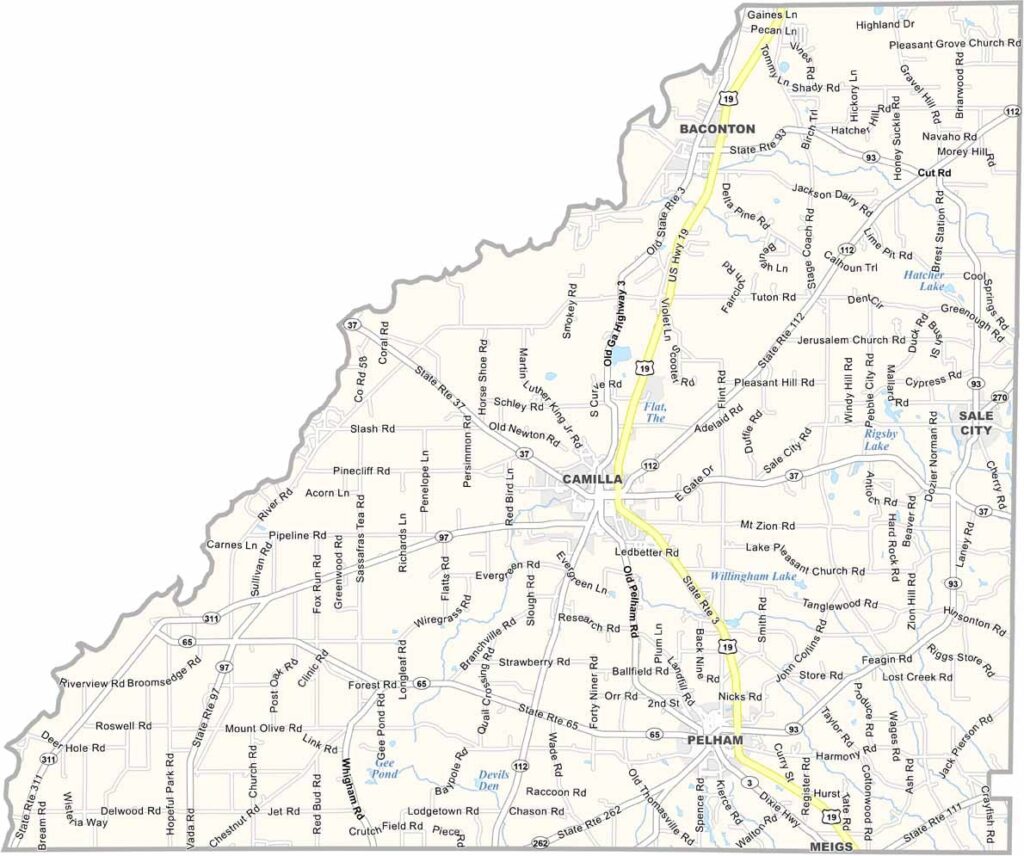
Mitchell County is located in southwest Georgia, where a rich agricultural heritage continues to shape the landscape and local way of life. Expansive pecan orchards, peanut fields, and other farmland reflect the county’s long-standing farming traditions, while the Flint River forms its western border and provides opportunities for fishing and outdoor recreation.
Camilla, the county seat, blends historic Southern charm with modern amenities, serving as the cultural and commercial center of the county. Each year, the community celebrates its unique character during the annual Gnat Days Festival, a lighthearted event that brings residents and visitors together with parades, entertainment, and family-friendly activities.
Known for its close-knit communities and warm hospitality, Mitchell County is a place where neighbors know one another and small-town values remain strong. Beneath its quiet rural setting lies a rich history, scenic beauty, and genuine sense of community, making it an inviting destination for those looking to experience authentic southwest Georgia.