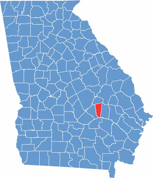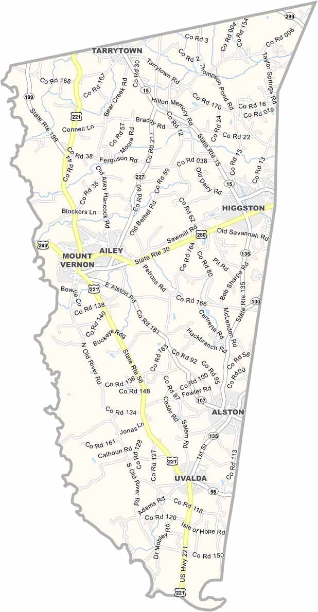
Montgomery County is located in southeastern Georgia and is one of the state’s oldest counties, having been established in 1793. Named in honor of Revolutionary War General Richard Montgomery, the county is rich in history and Southern heritage.
The county seat, Mount Vernon, is a welcoming small town situated near the Oconee River, where scenic waterways and moss-draped trees create a peaceful setting for outdoor recreation. Kayaking, fishing, and nature exploration are popular activities throughout the area.
Agriculture continues to play a vital role in Montgomery County’s economy, with timber production and row crops remaining key industries. Each fall, the annual Montgomery County Fair brings the community together with agricultural exhibits, entertainment, and family-friendly events. The presence of Brewton-Parker College adds a vibrant academic and cultural influence, contributing to the county’s welcoming atmosphere. Blending historic charm, natural beauty, and strong community traditions, Montgomery County offers visitors an authentic experience in southeastern Georgia.