
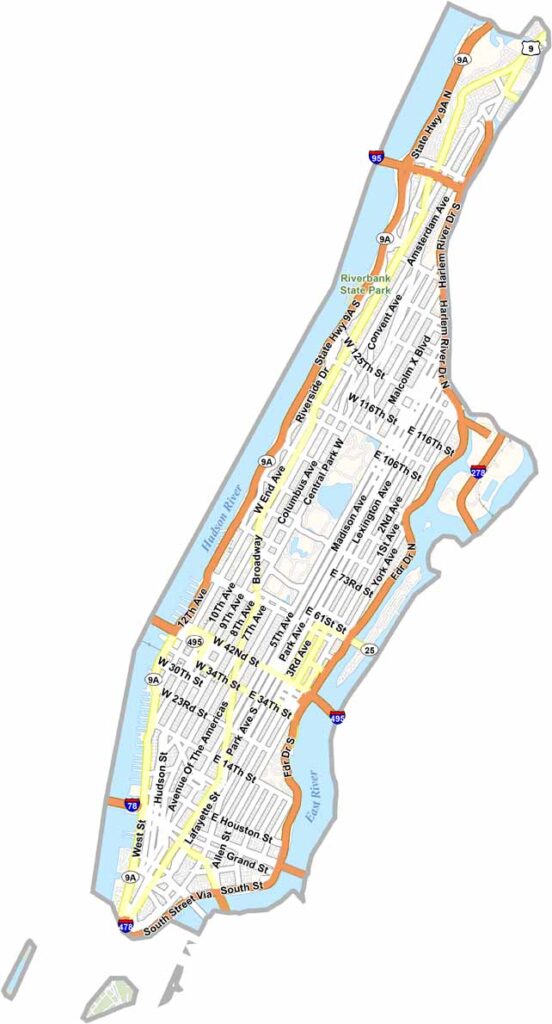
New York County, better known as Manhattan, is the heart of the Big Apple. It’s a place where dreams are made and broken every day. Located on a long, narrow island between the Hudson and East Rivers, Manhattan truly never sleeps.
Skyscrapers dominate the skyline, while Central Park provides a welcome stretch of green amid the concrete jungle. Wall Street, Broadway, and Times Square are world-famous icons, all located within the county.
Manhattan is a melting pot of cultures, cuisines, and characters. Millions of visitors arrive each year to experience its unique energy. New York County captures the heartbeat of New York City in nearly every block. Love it or hate it, there’s nowhere quite like Manhattan.
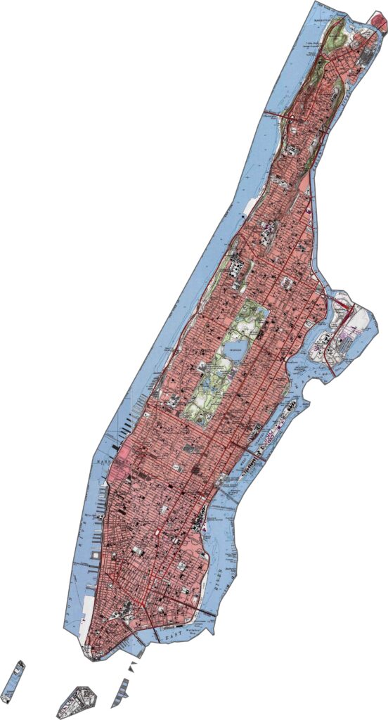
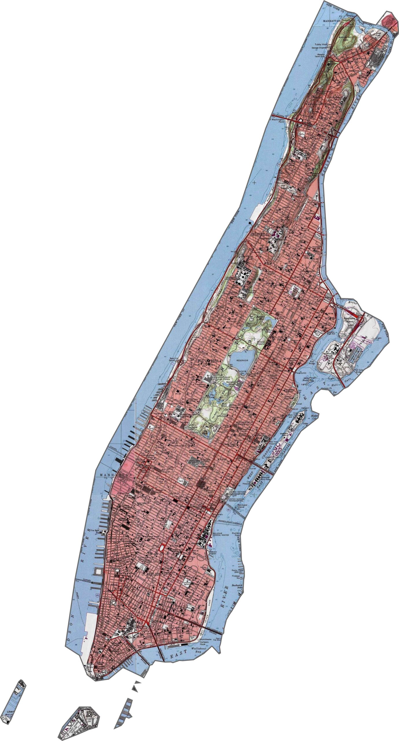
Manhattan may be iconic, but it isn’t completely flat. Bennett Park marks the highest natural point, while Central Park is flatter but still has its share of gentle rises and dips. Although skyscrapers define the skyline, the land beneath them has its own subtle shape. Explore it in our Manhattan topographic map below.
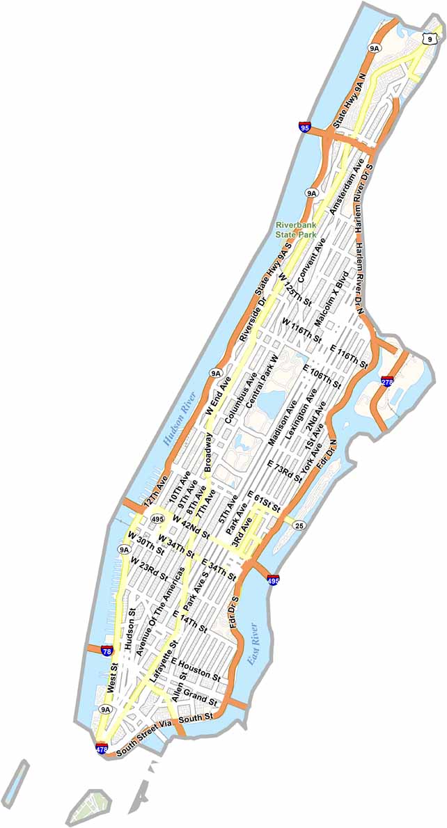
Traffic moves mostly north and south and around the island’s edges. The FDR Drive follows the east side, while the Henry Hudson Parkway (9A) runs along the west. They can move quickly when traffic cooperates, but congestion is common. Broadway ignores the usual grid and cuts diagonally across Manhattan. Most other routes follow a strict north–south pattern. If you get lost in the maze, our road map and zoom tool can help.
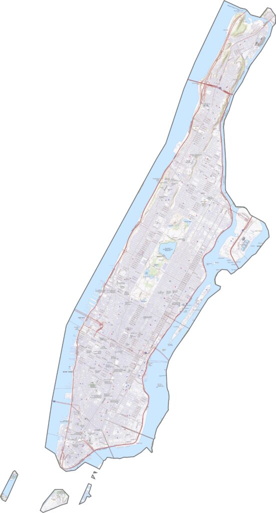
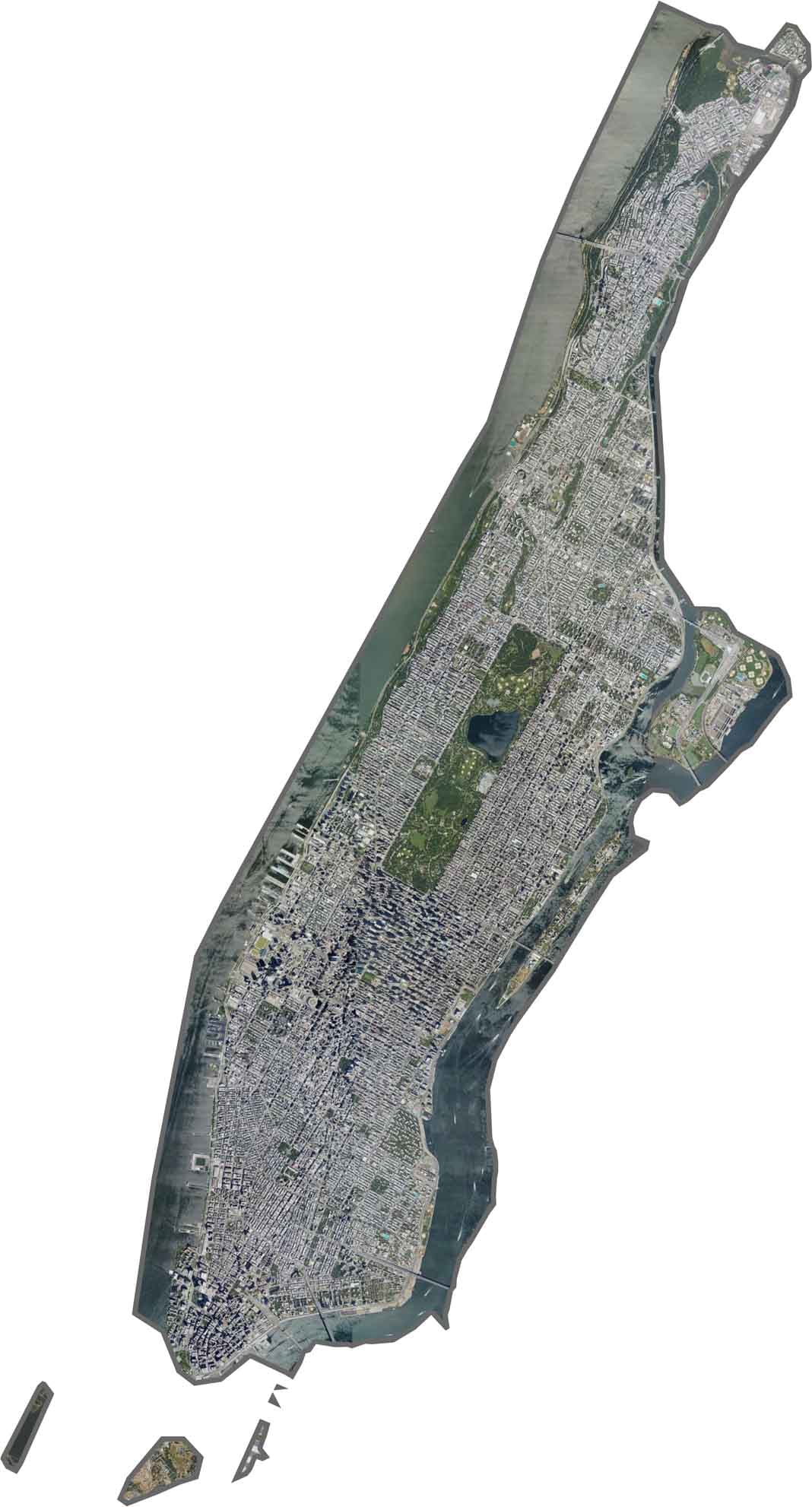
New York County appears as a densely developed urban island. Central Park stands out as a huge rectangle of green in the middle, while the Hudson and East Rivers create a sharp contrast around the island. Bridges and ferries connect Manhattan in every direction. The southern tip is especially dense, with rooftops and roads packed closely together.
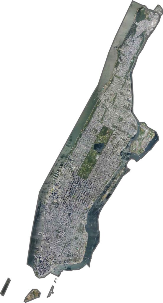
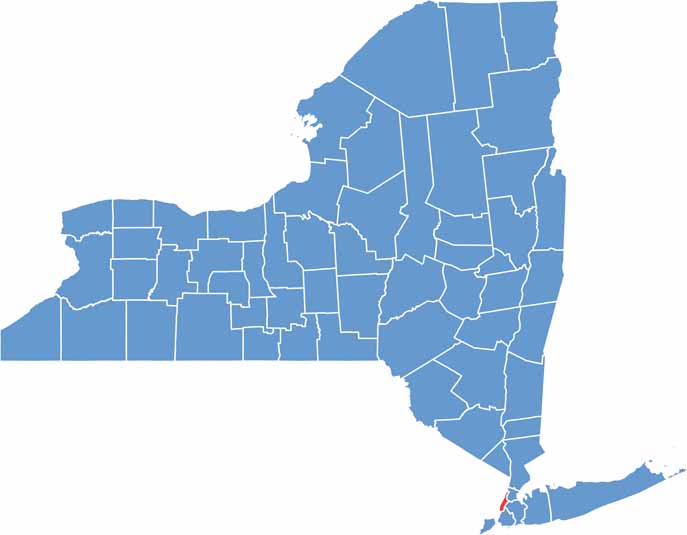
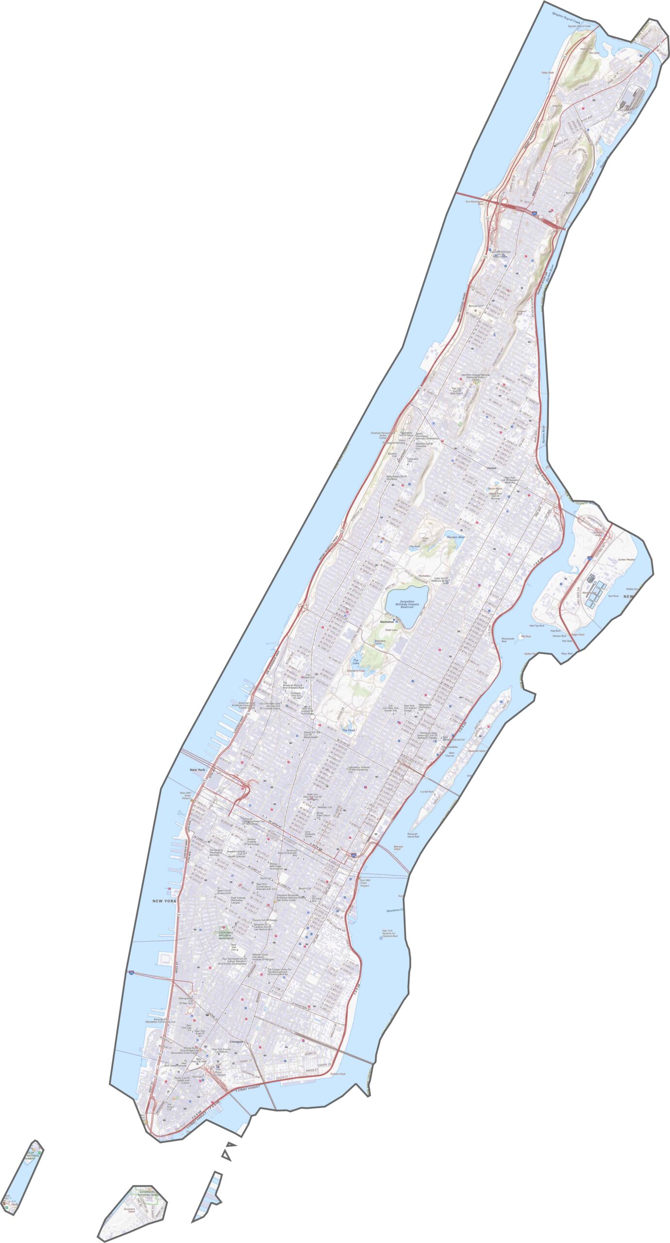
New York County is Manhattan, a long, narrow island surrounded by water. The Hudson River forms the western side, while the East River marks the eastern edge. New Jersey lies across the Hudson, and the southern end curves toward New York Harbor. The shoreline is jagged with numerous piers, but the island’s distinctive shape is unmistakable.









New York has 62 counties, and each one has its own personality. From the nonstop energy of Manhattan to the quiet wilderness of the Adirondacks, there’s plenty of variety to explore. And yes, we can’t forget those famous Buffalo wings. Explore our New York county maps.