
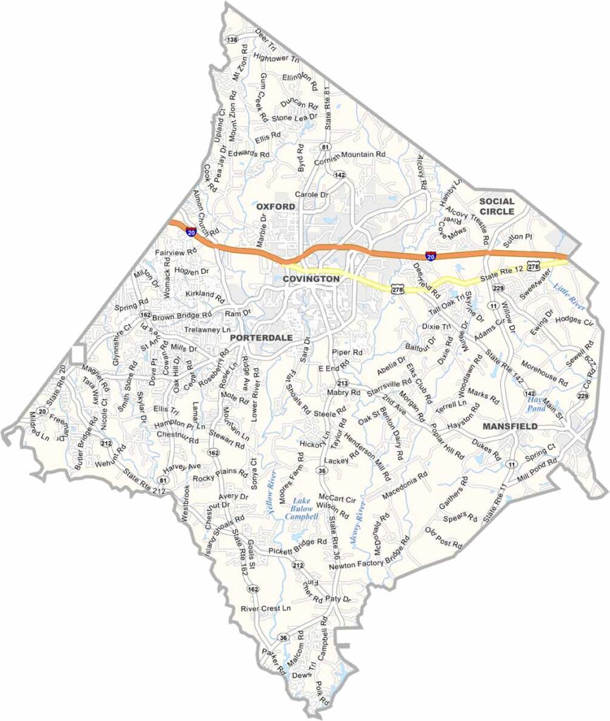
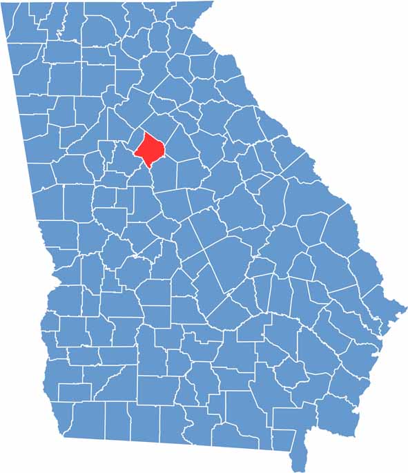
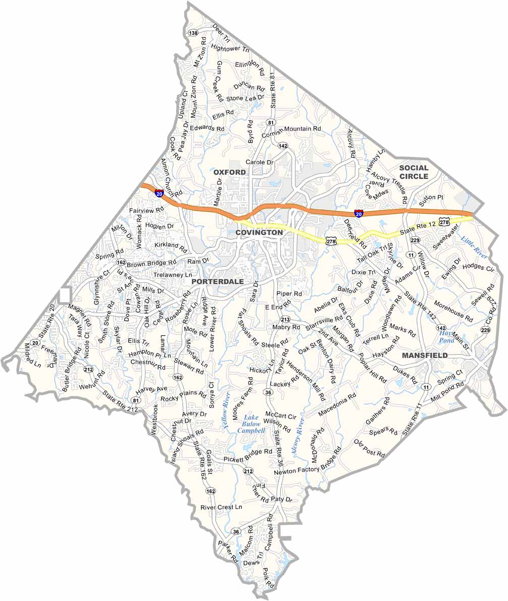
Newton County is located just east of Atlanta, offering a unique blend of Georgia small-town charm and metropolitan influence. Covington, the county seat, has gained a touch of Hollywood glamour after serving as a backdrop for numerous films and TV shows.
The county’s history dates back to 1821, and its heritage remains visible throughout the area. Porterdale, once a thriving mill town, has transformed into a popular outdoor destination, with kayakers enjoying sections of the Yellow River.
The Georgia State University Newton campus adds an academic presence to the community, while former cotton fields are increasingly giving way to new subdivisions. Newton County continues to embrace rapid growth while working to preserve its rural character and historic roots.
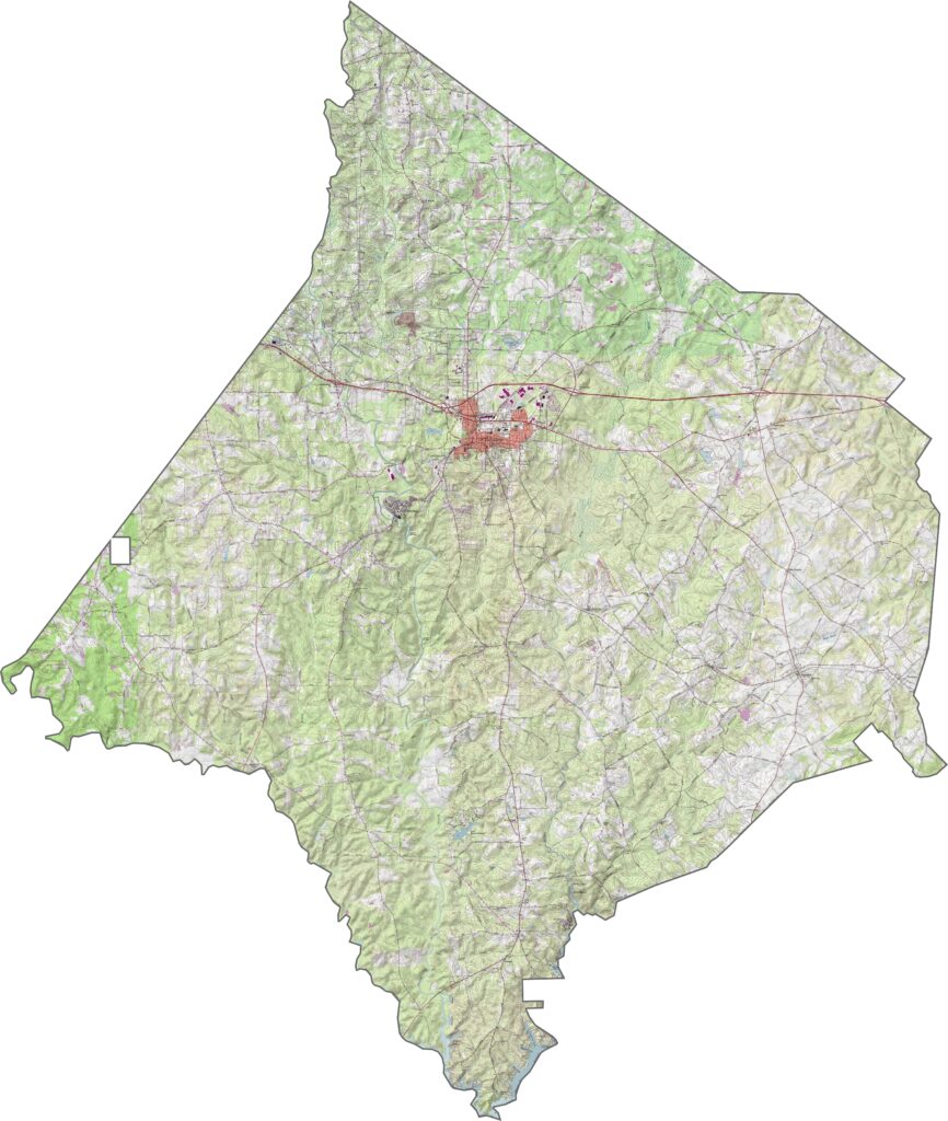
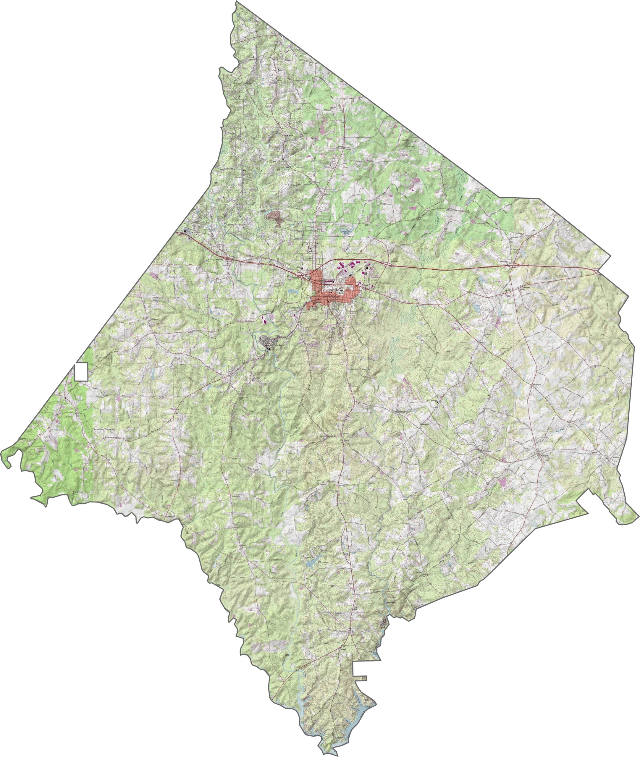
This topographic map of Newton County highlights the county’s gently rolling Piedmont terrain. Covington is the main urban area, positioned between the Yellow River and Alcovy River. Around Covington, the landscape becomes somewhat flatter, with gentle hills and valleys shaping the surrounding terrain.
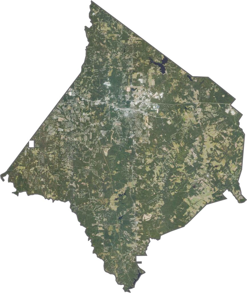
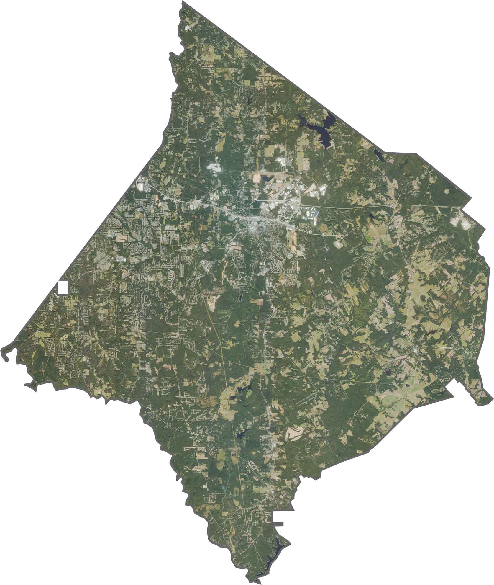
Our Newton County satellite map provides a clear overhead view of the region, showing how suburban development, farmland, forests, and waterways come together. Use our zoom tool to explore the growing residential areas expanding toward the Atlanta metropolitan area.
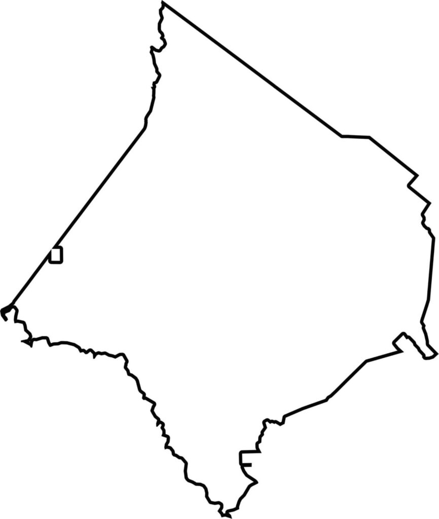
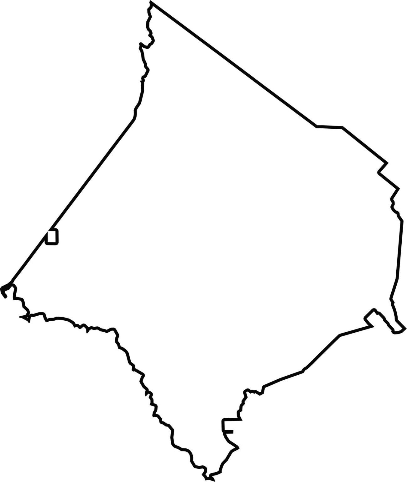
Our Newton County blank map provides a simple view of the county’s overall layout. The county has a roughly diamond-shaped outline, with the South River forming part of its southwestern boundary.







Now available! Our Georgia county map highlights all 159 counties with exceptional detail and clarity. Whether you're exploring geography, planning a trip, or learning more about the Peach State, this comprehensive map is the resource you've been looking for. Discover Georgia like never before and explore every corner of the state.