
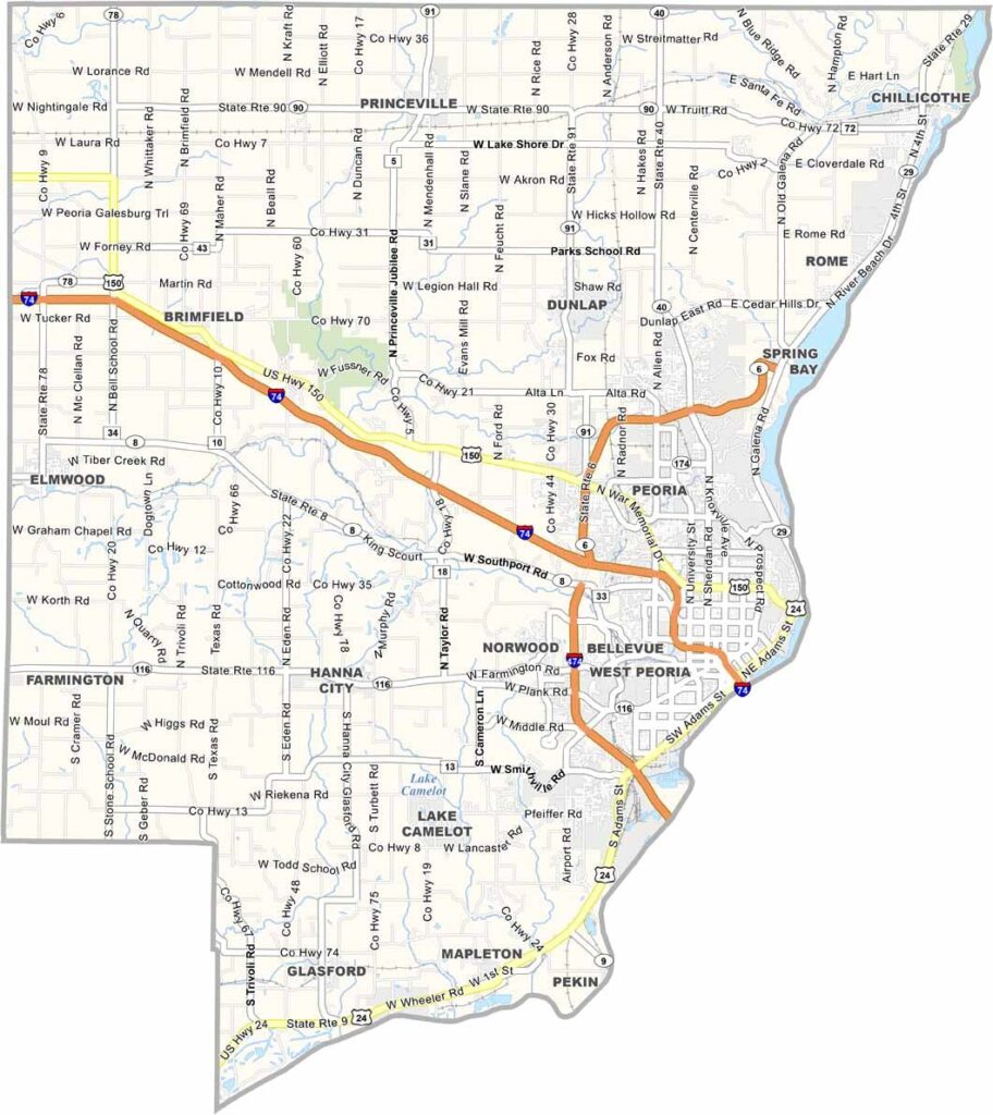
Peoria County sits near the middle of Illinois, with the Illinois River running along its eastern side. Peoria serves as the county seat and is the largest city in the area, with a bit of a split personality—part industrial and part agricultural.
The city has a gritty, blue-collar vibe that I find oddly appealing. Caterpillar called this place home for decades, and that industrial heritage still shapes the local culture.
Outside the city, you’ll find rolling hills and farmland. Wildlife Prairie Park is a big draw for hikers, where visitors can see bison and elk roaming freely. There’s also a neat reptile house.
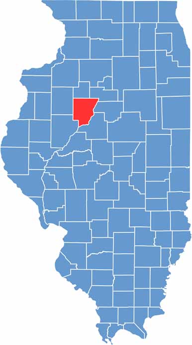
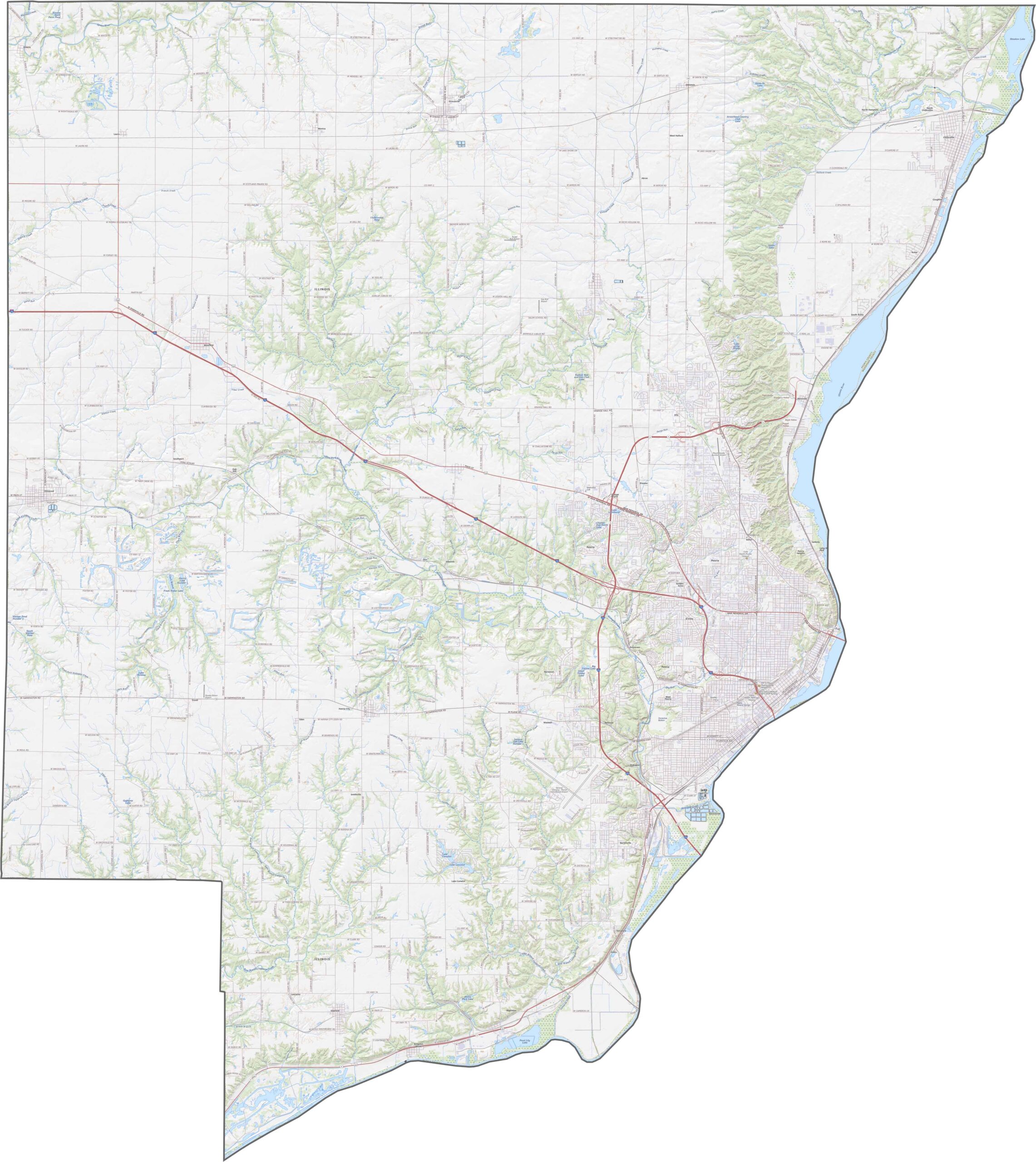
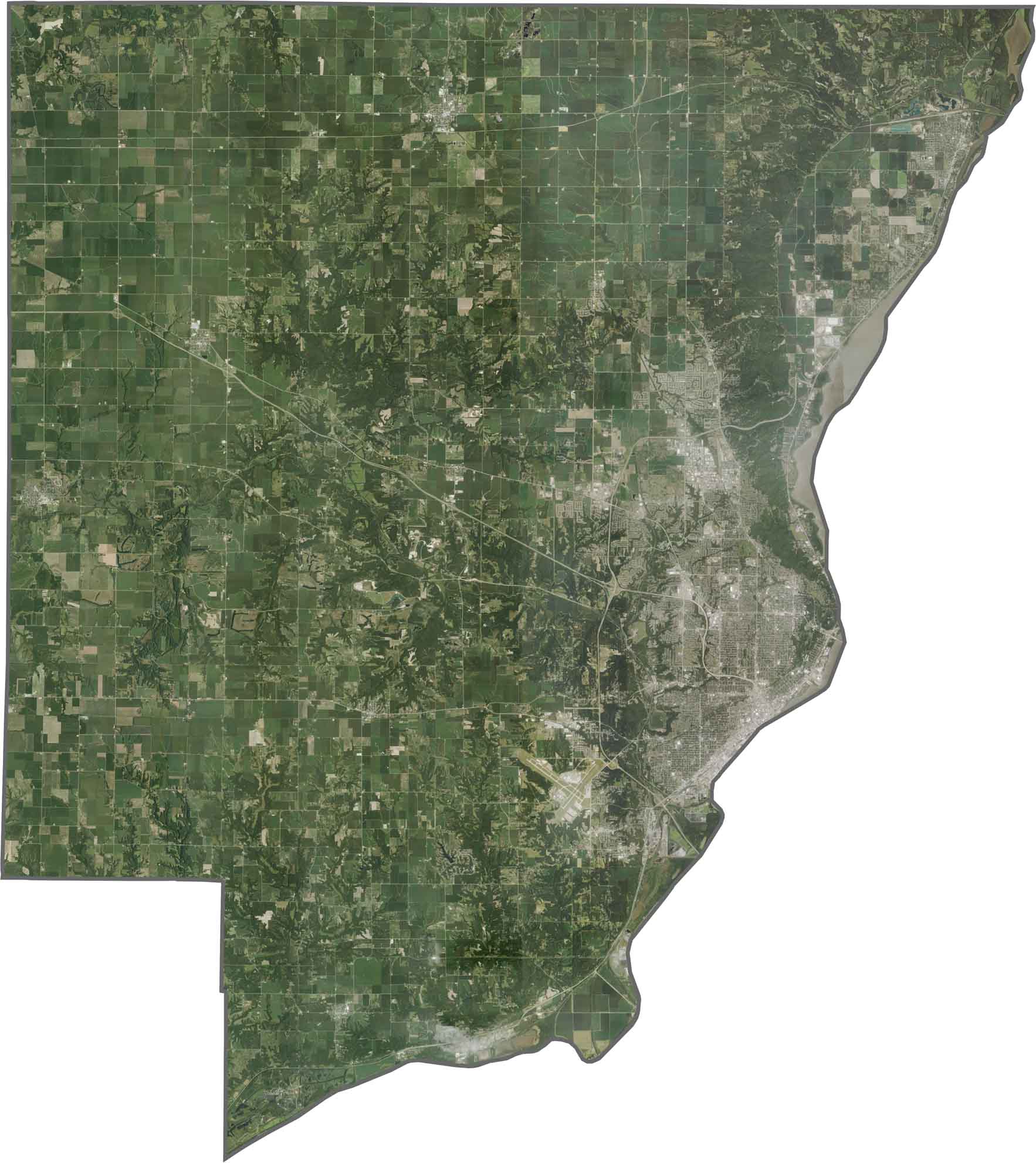
Peoria County mixes rolling river bluffs with flat farmland. The Illinois River cuts through the eastern side, creating scenic valleys along the way.
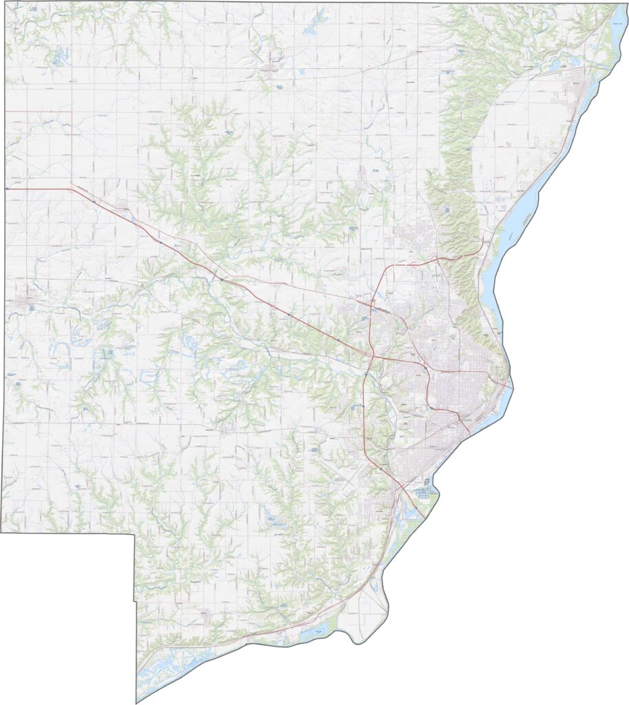
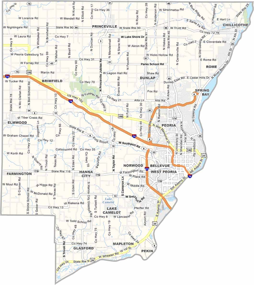
The Illinois River stands out as it winds past Peoria’s urban area. North of the city, forests and farmland dominate the landscape. Highways like I-74 slice across the county.
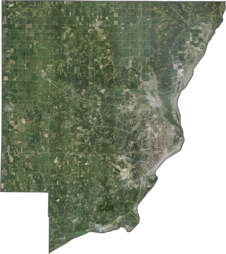
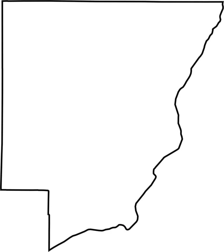
The county has an irregular shape, with the Illinois River forming part of its eastern edge. It doesn’t border another state and sits in the northern part of Illinois.







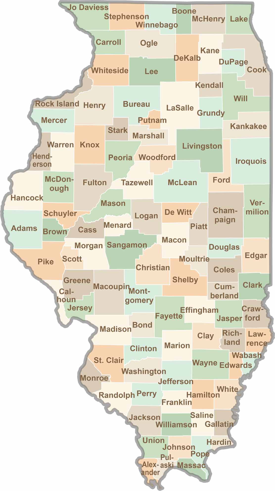
Ready to explore Illinois? Discover counties full of surprises, from the energy of Chicago and Cook County to the quiet beauty of Shawnee National Forest. Explore rich history, farmland, natural scenery, and small-town charm with our Illinois county map. Find your next adventure and discover all that Illinois has to offer.