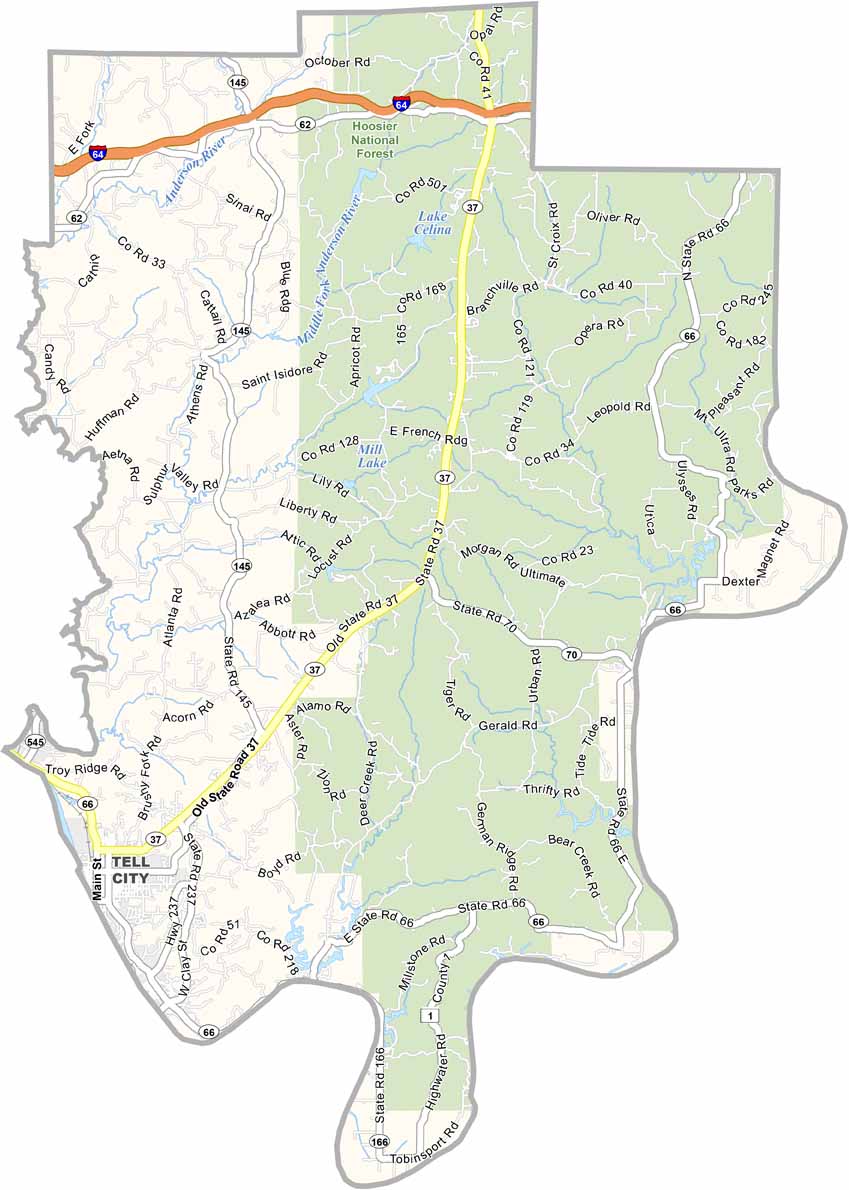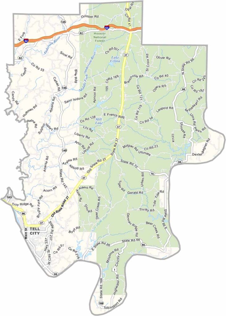
Perry County, Indiana

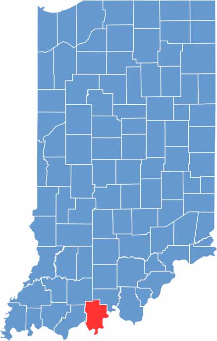
Perry County is located in southern Indiana along the Ohio River. It has more hills and forests than you usually find in the Hoosier State, but it’s the natural beauty that really sets Perry County apart.

Tell City is the county seat and a classic river town with a twist. It was planned by a group of Swiss immigrants, and the county also has a unique blend of German heritage.

Cannelton’s historic cotton mill highlights the area’s industrial past. The Hoosier National Forest covers a large part of the county, and the views from Tipsaw Lake are hard to beat.

CategoryDetails
County NamePerry County
County SeatTell City
EtymologyNamed after Commodore Oliver Hazard Perry, a hero of the War of 1812
Cities, Towns, and CommunitiesTell City, Cannelton, Troy, Leopold, Derby, Rome, Bristow
Interstates and HighwaysIN-37, IN-66, IN-70, IN-145
FIPS Code18-123
Total Area (Land and Water)386 square miles (Land: 381 sq mi, Water: 5 sq mi)
Adjacent Counties (and Direction)Crawford County (North), Spencer County (West), Dubois County (Northwest), Meade County, Kentucky (Southeast), Breckinridge County, Kentucky (South), Hancock County, Kentucky (Southwest)
Time ZoneCentral Time Zone (CT)
Population19,000 (estimated)
StateIndiana
Coordinates37.9897° N, 86.7050° W
Major LandmarksHoosier National Forest, Ohio River Scenic Byway, Cannelton Locks and Dam, Blue Heron Vineyard and Winery
Scroll to Top