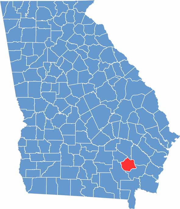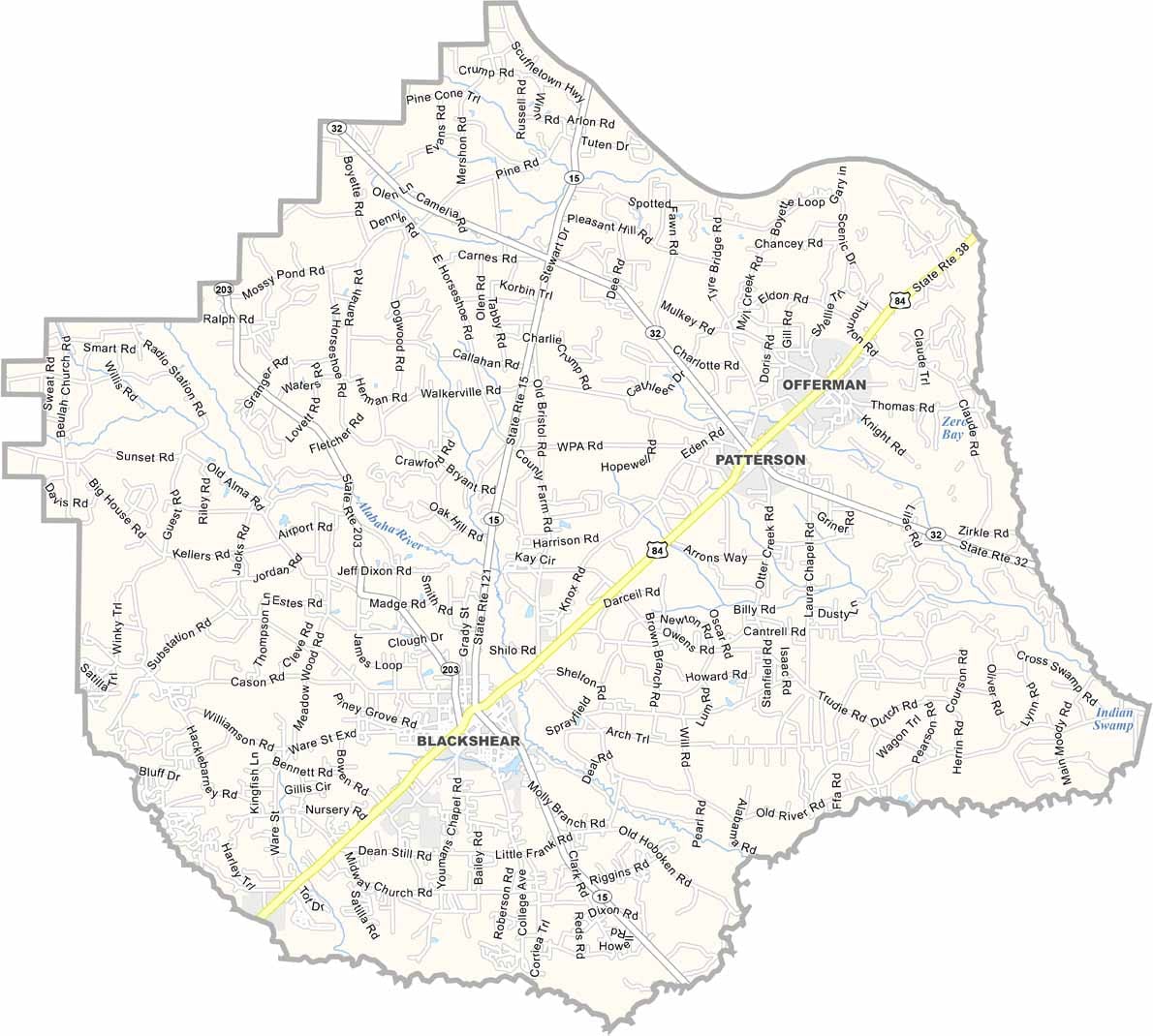
Pierce County is located in southeastern Georgia and was established in 1857 from portions of Ware and Appling counties. The county seat, Blackshear, serves as the center of this welcoming rural community, where history, agriculture, and Southern hospitality remain deeply rooted.
Agriculture continues to be the foundation of the local economy, with productive farmland, timber operations, and expansive pine forests shaping much of the landscape. Pierce County also provides convenient access to some of Georgia’s most remarkable natural attractions.
Although Pierce County itself has relatively few large parks, nearby Laura S. Walker State Park is a favorite destination for camping, fishing, boating, hiking, and wildlife viewing. With its peaceful countryside, rich agricultural traditions, and easy access to some of Georgia’s finest outdoor recreation, Pierce County offers visitors an authentic glimpse of life in southeastern Georgia.