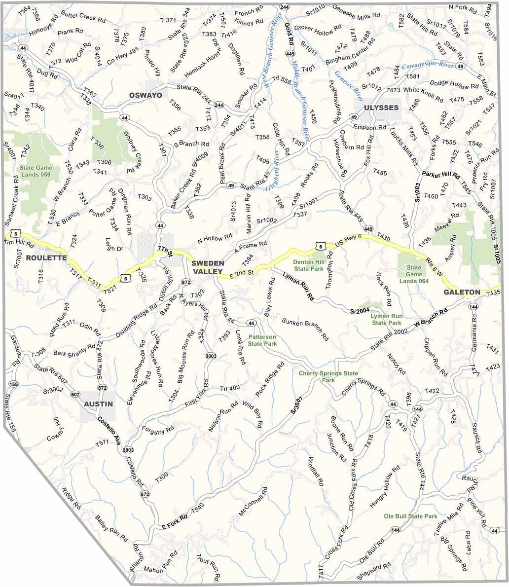
Potter County Map, Pennsylvania

Potter County, Pennsylvania

Potter County sits in north-central Pennsylvania, along the New York border. Known as "God's Country" for its rugged beauty, it is sparsely populated and has more trees than people.

Wilderness is the main attraction. The Pennsylvania Grand Canyon cuts through the landscape, and elk roam free, drawing wildlife photographers from far and wide.

Cherry Springs State Park is famous for its dark skies, and stargazers come to see the Milky Way in all its glory. The small towns have a timeless feel, and outdoor recreation drives the local economy. Potter County is a true piece of wild Pennsylvania.
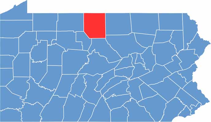

Location map of Potter County, Pennsylvania
CategoryDetails
County NamePotter County
County SeatCoudersport
EtymologyNamed after James Potter, a general in the American Revolutionary War
Cities, Towns, and CommunitiesCoudersport, Galeton, Ulysses, Shinglehouse, Austin
Interstates and HighwaysU.S. Highway 6, State Highway 44, State Highway 49
FIPS Code42-105
Total Area (Land and Water)1,082 square miles (1,081 sq mi land, 1 sq mi water)
Adjacent Counties (and Direction)Allegany County, New York (North), Steuben County, New York (Northeast), Tioga County (East), Lycoming County (Southeast), Clinton County (South), Cameron County (Southwest), McKean County (West)
Time ZoneEastern Time Zone (EST)
StatePennsylvania
Coordinates41°46’N, 78°01’W
Major LandmarksCherry Springs State Park, Coudersport Ice Mine, Denton Hill State Park
PopulationApproximately 16,000
Scroll to Top