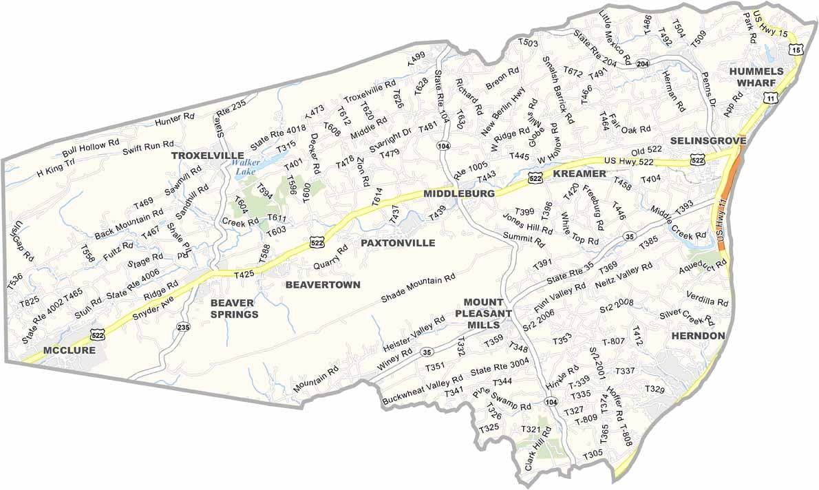
Snyder County Map, Pennsylvania

Snyder County, Pennsylvania

Snyder County lies in central Pennsylvania, where rolling farmland meets forested ridges. The Susquehanna River forms its eastern border, and the area is Amish country.

Selinsgrove is the largest town, while Middleburg serves as the county seat. Susquehanna University, founded back in 1858, is located here.

Outdoor recreation is big, with fishing, hiking, and hunting among the favorite pastimes. The county fair is a summer highlight, and local farms offer fresh produce and dairy. Snyder County moves at its own pace, a true slice of rural Pennsylvania life.
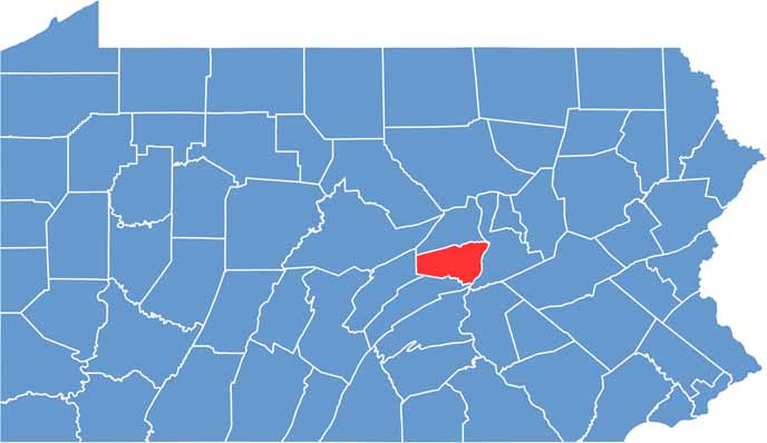

Location map of Snyder County, Pennsylvania
CategoryDetails
County NameSnyder County
County SeatMiddleburg
EtymologyNamed after Simon Snyder, a former Governor of Pennsylvania
Cities, Towns, and CommunitiesSelinsgrove, Middleburg, Beavertown, Shamokin Dam, Freeburg
Interstates and HighwaysU.S. Highway 11, U.S. Highway 15, State Highway 104
FIPS Code42-109
Total Area (Land and Water)332 square miles (329 sq mi land, 3 sq mi water)
Adjacent Counties (and Direction)Union County (North), Northumberland County (East), Juniata County (South), Mifflin County (West)
Time ZoneEastern Time Zone (EST)
StatePennsylvania
Coordinates40°46’N, 77°03’W
Major LandmarksSusquehanna University, Shade Mountain Winery, Penn’s Creek
PopulationApproximately 40,000
Scroll to Top