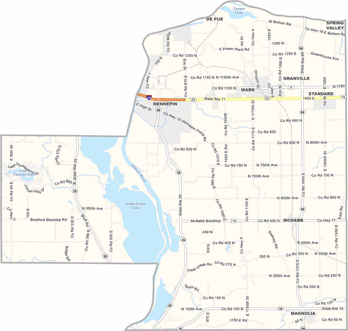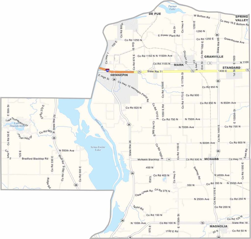
Putnam County, Illinois

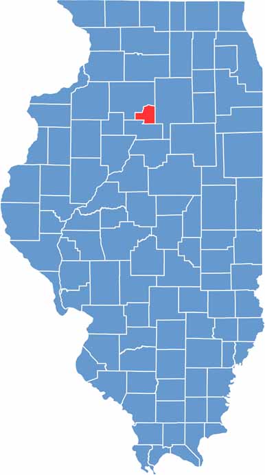
Putnam County is the smallest county in Illinois, covering just 160 square miles. It’s tucked away in the north-central part of the state. Hennepin, the county seat, sits along the Illinois River.

The county is a mix of rolling hills and river bottomlands. It’s mostly rural, with farms scattered across the landscape. Its small size and population give Putnam County a tight-knit feel.

The Illinois River along the western side provides opportunities for fishing and boating. Nearby Hennepin Canal State Park is popular for hiking and biking. A couple of highways wind through the county, making it easy to get around.

CategoryDetails
County NamePutnam County
County SeatHennepin
EtymologyNamed after General Israel Putnam
Cities, Towns, and CommunitiesHennepin, McNabb, Granville, and several unincorporated communities
Interstates and HighwaysIllinois Route 26, Illinois Route 71, Illinois Route 89
FIPS Code17-155
Total Area (Land and Water)163 square miles (land: 155 sq mi, water: 8 sq mi)
Adjacent Counties (and Direction)Bureau County (Northwest), LaSalle County (East), Marshall County (South)
Time ZoneCentral Time Zone (CT)
PopulationApproximately 5,800
StateIllinois
Coordinates41.2791° N, 89.2496° W
Major LandmarksStarved Rock State Park, Illinois River, and the Putnam County Historical Society Museum
Scroll to Top