
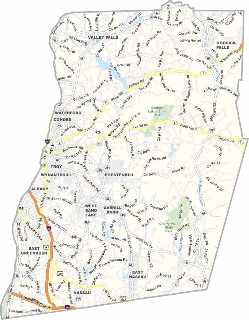
Rensselaer County sits just east of Albany, across the Hudson River. Troy serves as the county seat and is known for its well-preserved 19th-century architecture.
The county offers a mix of urban and rural areas, with winter sports being popular throughout the region. Cross-country skiing at Grafton Lakes State Park is one example.
RPI, a leading engineering school, is located here. The Grafton Peace Pagoda also offers great views of the surrounding area. Farming remains an important part of the local economy, while Troy has a lively and growing arts scene.
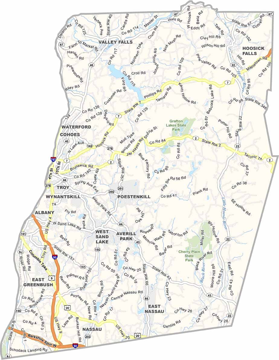
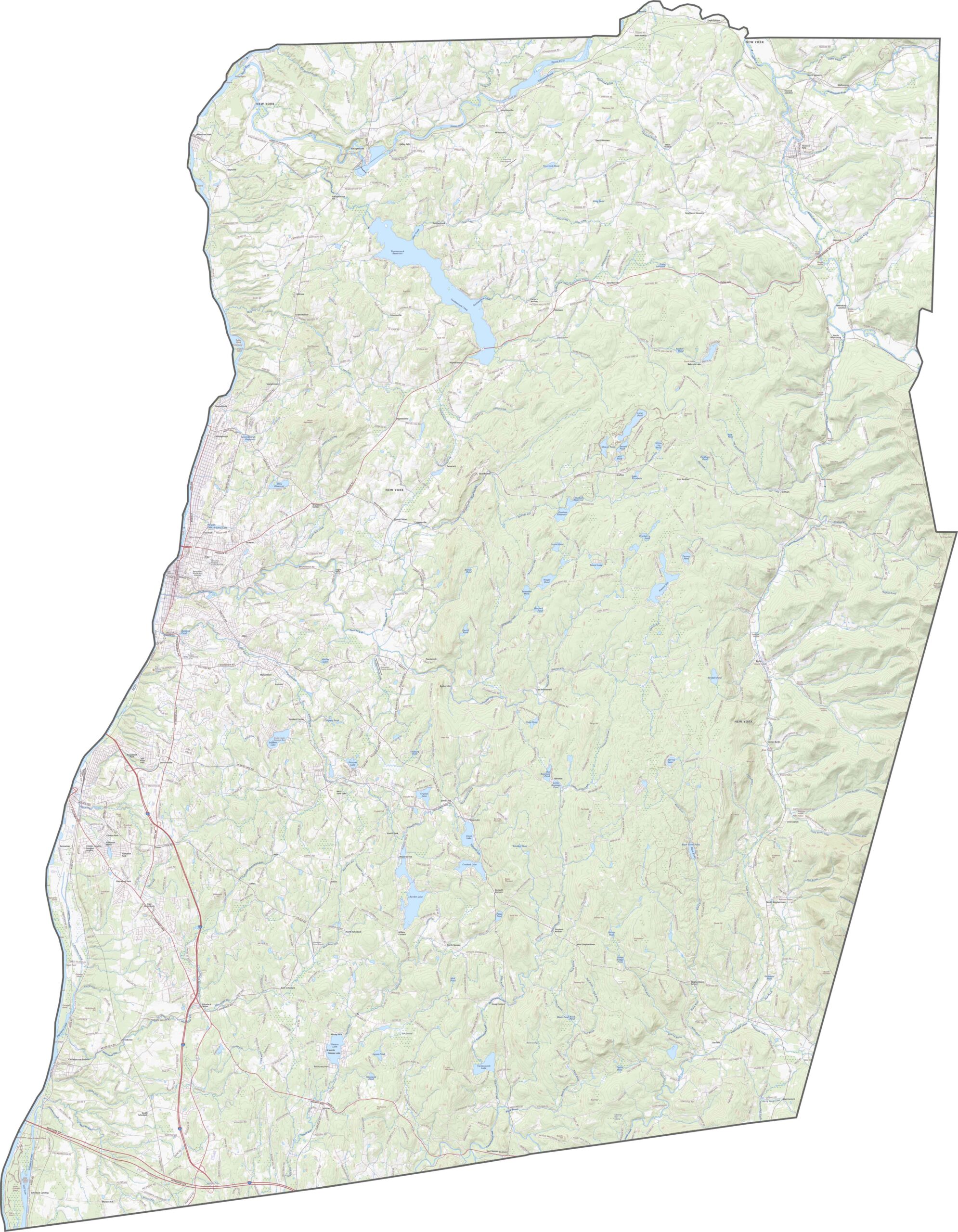
I-90 runs through the southwestern part of Rensselaer County, connecting Troy with Albany and Massachusetts. Meanwhile, NY-7 and NY-2 cross the northern half. Some roads follow the river, while others wind through steep hills. Zoom in on our map to see how the routes change with the terrain.
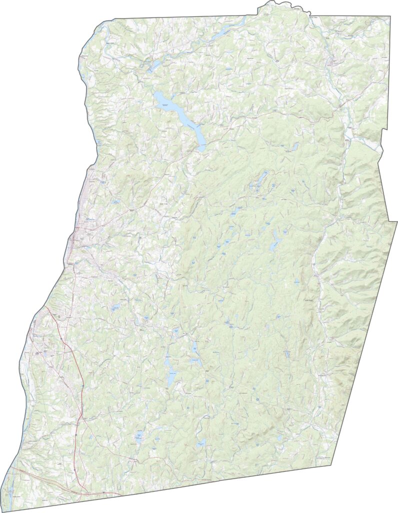
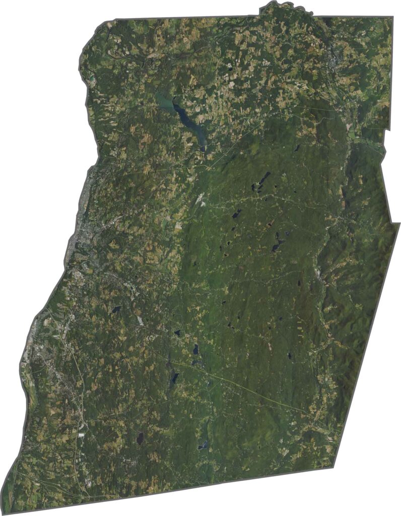
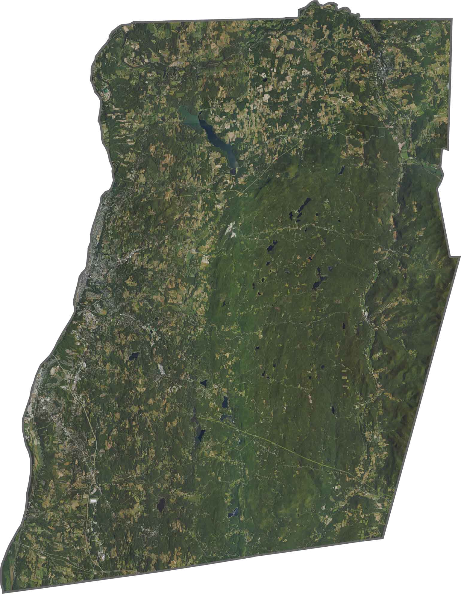
The Hudson River runs along the western border. Troy stands out as a dense grid near the river, while forests and hills take over quickly beyond the city. Farmland fills parts of the central valleys, while the eastern ridges are heavily wooded and appear darker green from above. The contrast between the western and eastern parts is easy to see.
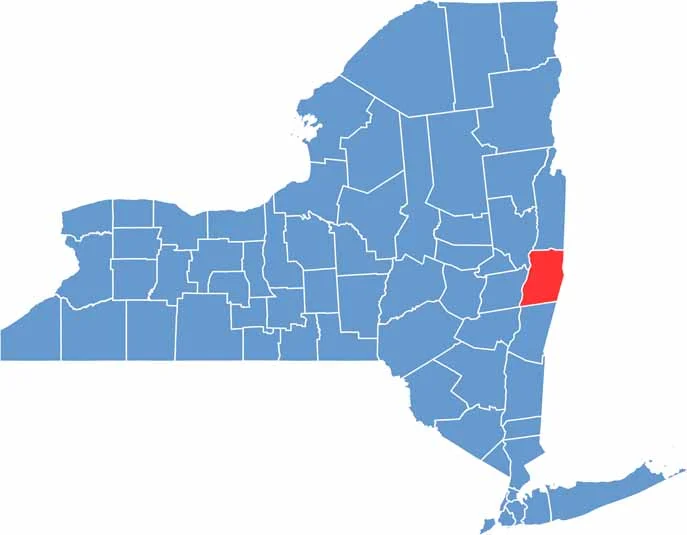
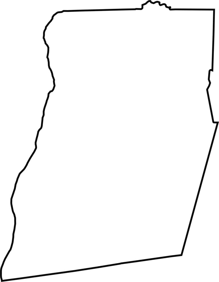
Rensselaer County has a tall, slanted rectangular shape pressed against the Hudson River. The river forms its entire western edge. The county borders Massachusetts to the east and Vermont near its northeastern tip. Its outline is sharp and jagged in several places.








New York has 62 counties, and each one has its own personality. From the nonstop energy of Manhattan to the quiet wilderness of the Adirondacks, there’s plenty of variety to explore. And yes, we can’t forget those famous Buffalo wings. Explore our New York county maps.