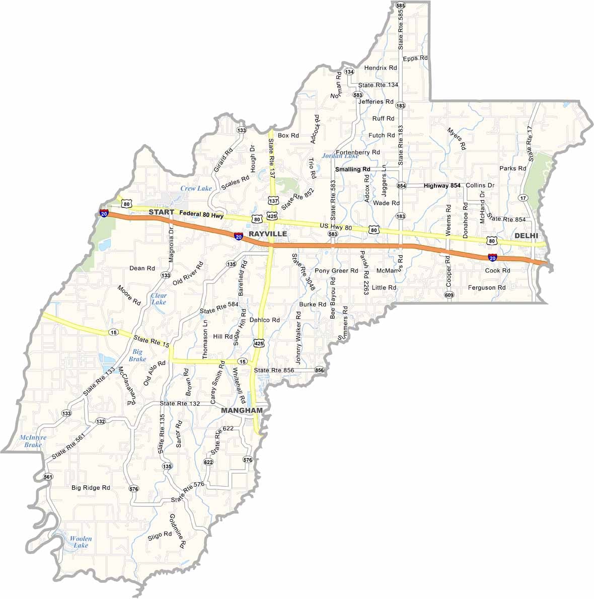
Richland Parish, Louisiana

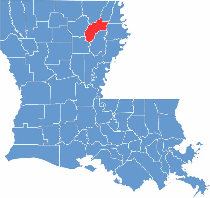
Richland Parish is located in northeastern Louisiana, about an hour’s drive east of Monroe. The parish is primarily agricultural, with expansive fields of cotton, corn, and soybeans stretching across the countryside.

A network of bayous and creeks winds through the landscape, adding natural features to the region’s fertile farmland. Established in 1868, the parish was named for its rich, productive soil. Today, around 20,000 people call Richland Parish home.

Rayville serves as both the parish seat and largest town, providing a central hub for the local community. Residents take pride in the area’s history, which can be seen in landmarks such as the historic courthouse and restored railroad depot in downtown Rayville.

CategoryDetails
Parish NameRichland Parish
Parish SeatRayville
EtymologyNamed for the fertile and “rich” agricultural lands in the area
Cities, Towns, and CommunitiesRayville, Delhi, Mangham, Start, Holly Ridge, Archibald
Interstates and HighwaysI-20, US-80, US-425, LA-15, LA-133
FIPS Code22-083
Total Area (Land and Water)565 square miles (558 sq mi land, 7 sq mi water)
Adjacent Parishes (and Direction)Morehouse Parish (North), West Carroll Parish (Northeast), East Carroll Parish (East), Madison Parish (East), Franklin Parish (South), Caldwell Parish (Southwest), Ouachita Parish (West)
Time ZoneCentral Time Zone (CT)
StateLouisiana
Coordinates32.4175° N, 91.7541° W
Major LandmarksPoverty Point Reservoir State Park, Richland Parish Courthouse, Historic Delhi High School, Black Bear Golf Club, Louisiana Military Museum
PopulationApproximately 20,000
Scroll to Top