
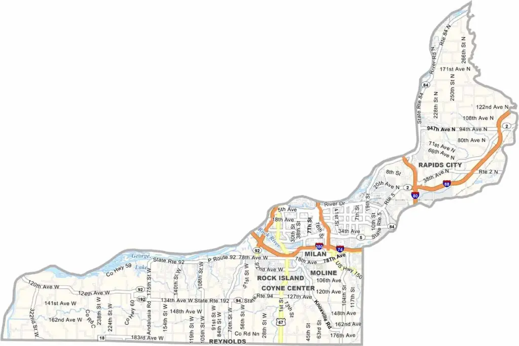
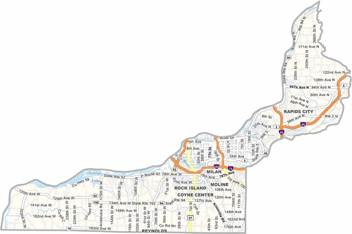
Rock Island County sits at the western edge of Illinois, where the Mississippi and Rock rivers meet. The Quad Cities straddle the Mississippi River here, with Rock Island and Moline on the Illinois side. Iowa lies just across the river to the west.
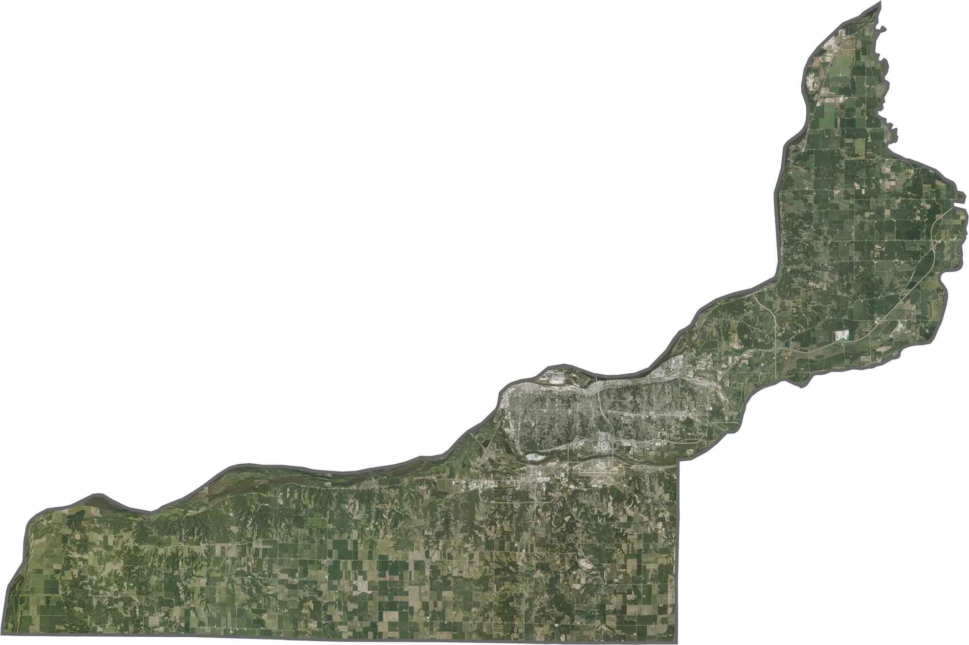
The county is part industrial center and part college town, with Augustana College located in Rock Island. Manufacturing has been the backbone of the local economy for generations, and John Deere still has a major presence here. Outside the cities, rolling hills and farmland fill the landscape.
The Rock Island Arsenal, an active military base, dominates Rock Island itself. Quad City International Airport connects the area to destinations beyond the region, while Black Hawk State Historic Site highlights the area’s Native American history. There’s a lot packed into this county.
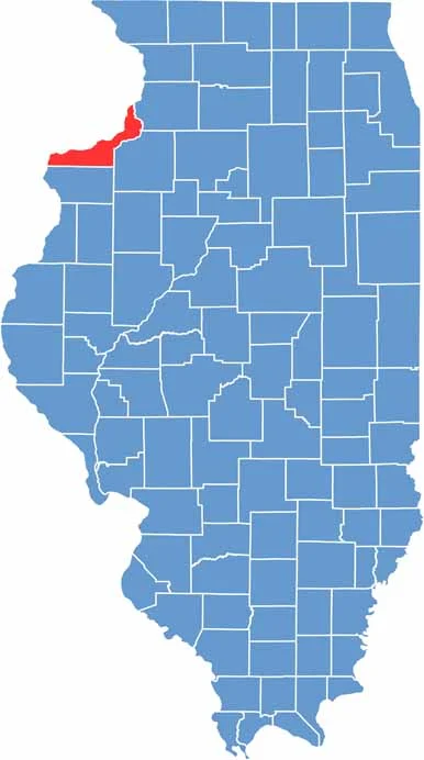
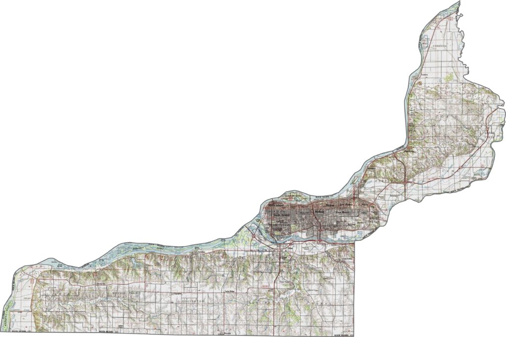
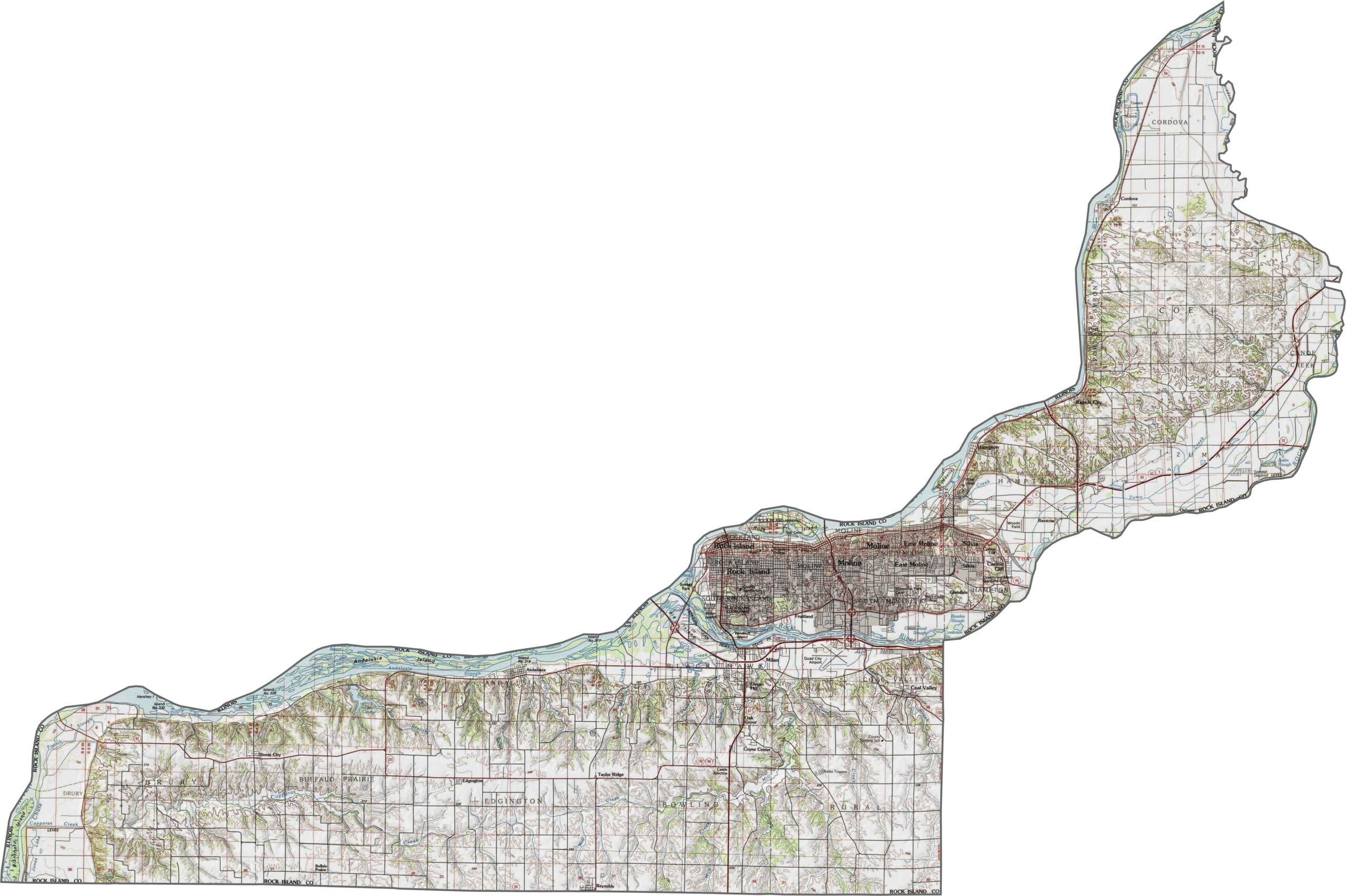
Our topographic map has it all. Bluffs along the Mississippi River give way to flatter land farther inland. The Rock River meets the Mississippi here, helping shape the county’s terrain.
The Mississippi River dominates the western side. Cities like Rock Island and Moline sit along its banks, while bridges connect the area to Iowa. Farmland fills much of the eastern sections.
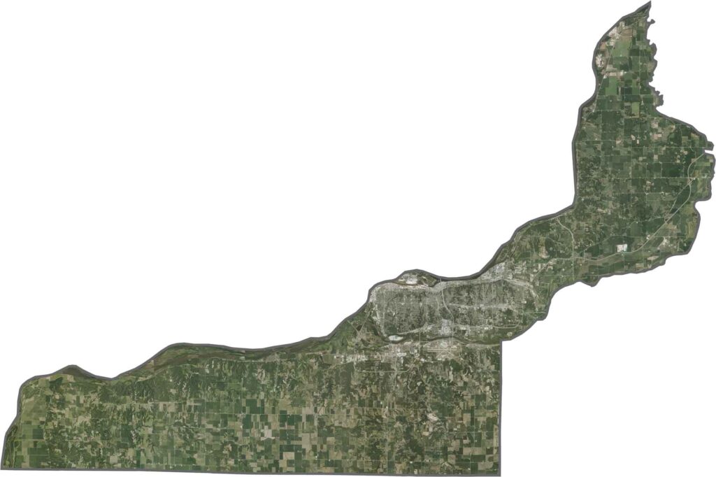
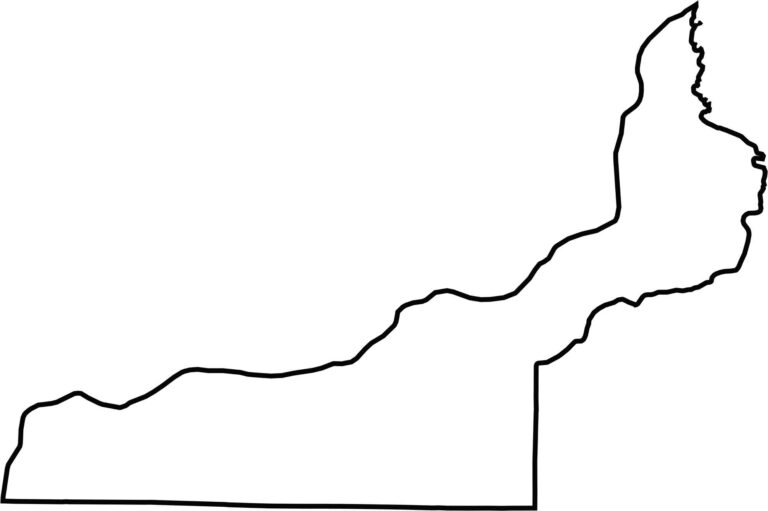
The Mississippi River forms the county’s western border, separating Illinois from Iowa. The rest of the county mostly follows straight, survey-drawn boundaries.







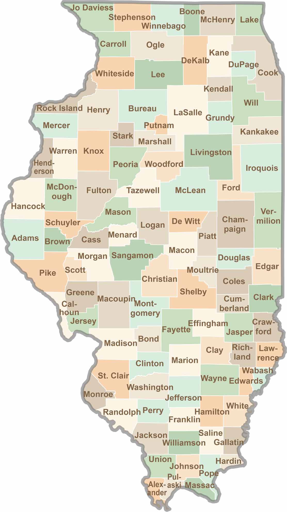
Ready to explore Illinois? Discover counties full of surprises, from the energy of Chicago and Cook County to the quiet beauty of Shawnee National Forest. Explore rich history, farmland, natural scenery, and small-town charm with our Illinois county map. Find your next adventure and discover all that Illinois has to offer.