
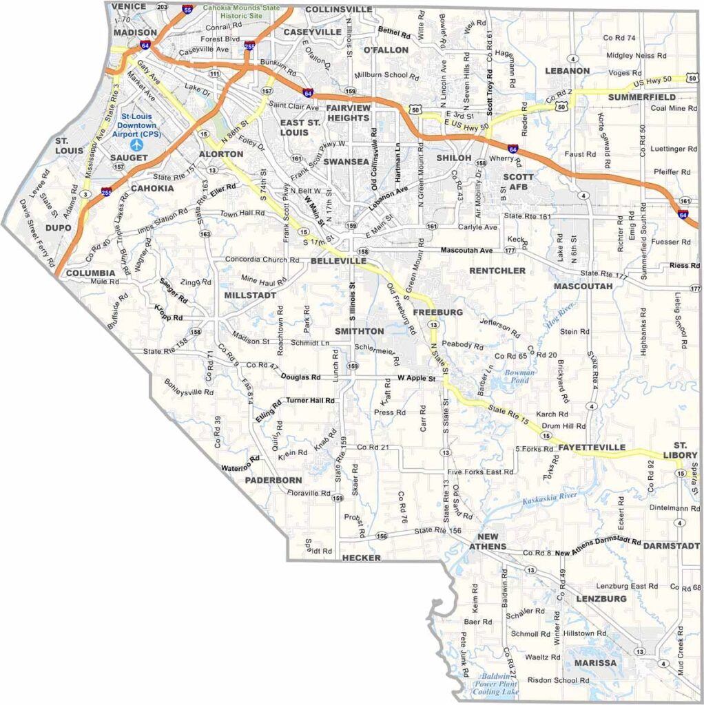
St. Clair County sits right across the Mississippi River from St. Louis. Belleville, the county seat, is the largest city. It’s a place of contrasts, with urban grit and rural areas, along with blue-collar neighborhoods and upscale suburbs.
St. Clair County feels like a blend of the Midwest and Gateway City. It’s complex, diverse, and always evolving. East St. Louis has seen tough times, but there’s plenty of resilience here. The county has deep roots, too. It was founded in 1790, making it one of the oldest counties in Illinois.
Scott Air Force Base is a major employer and shapes the local culture, so you’ll see plenty of military folks around. The riverfront casino draws crowds, as does Cahokia Mounds, a UNESCO World Heritage site.
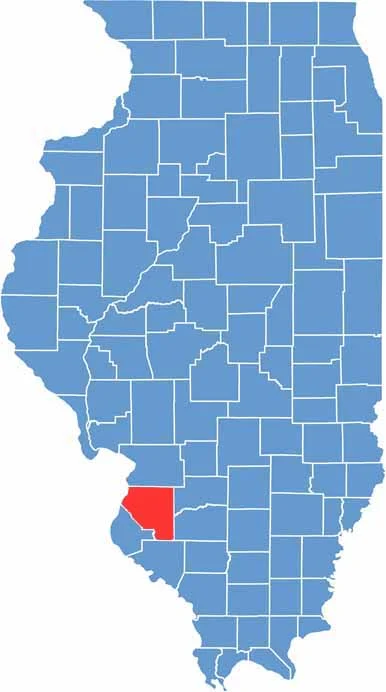
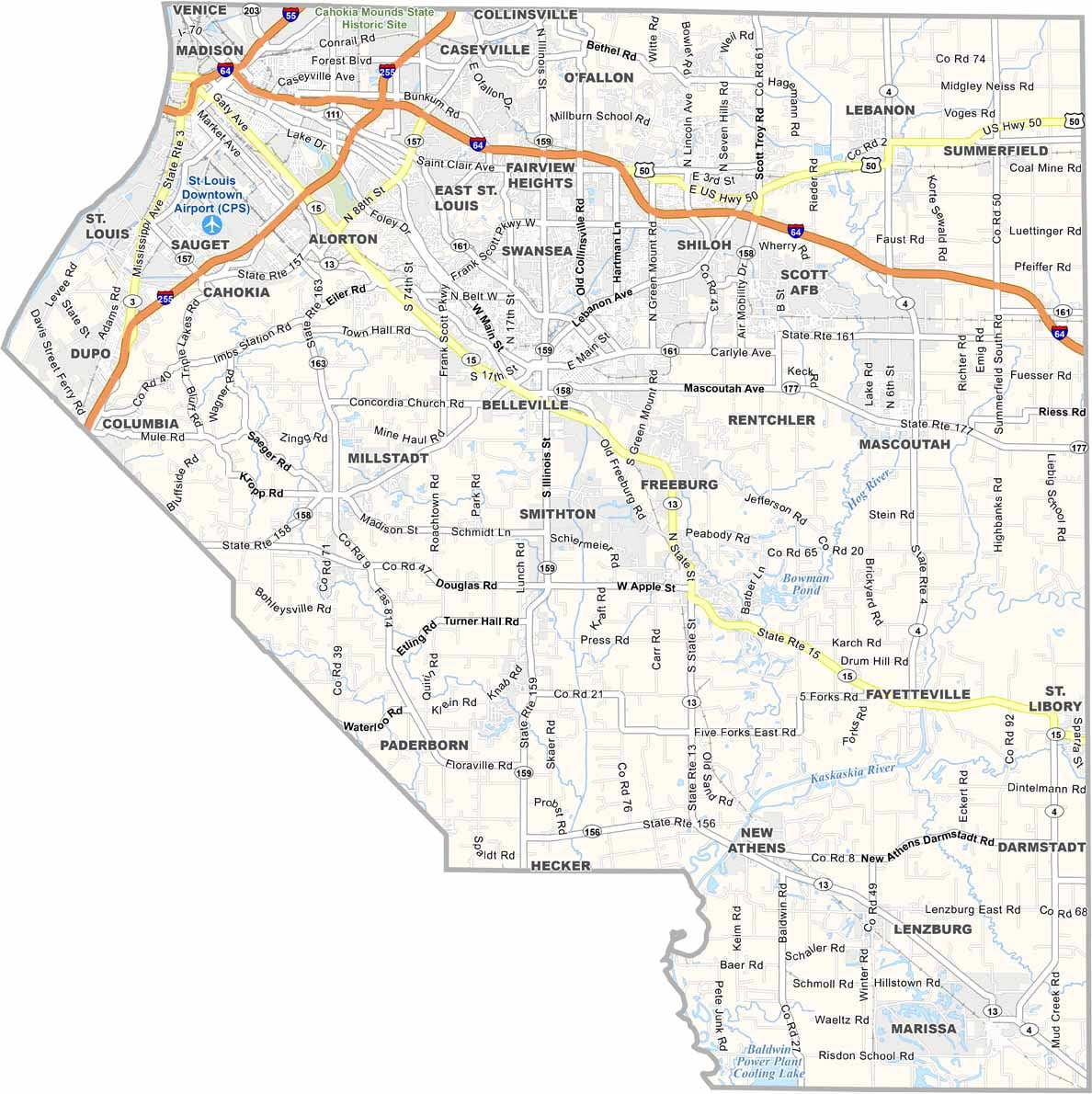
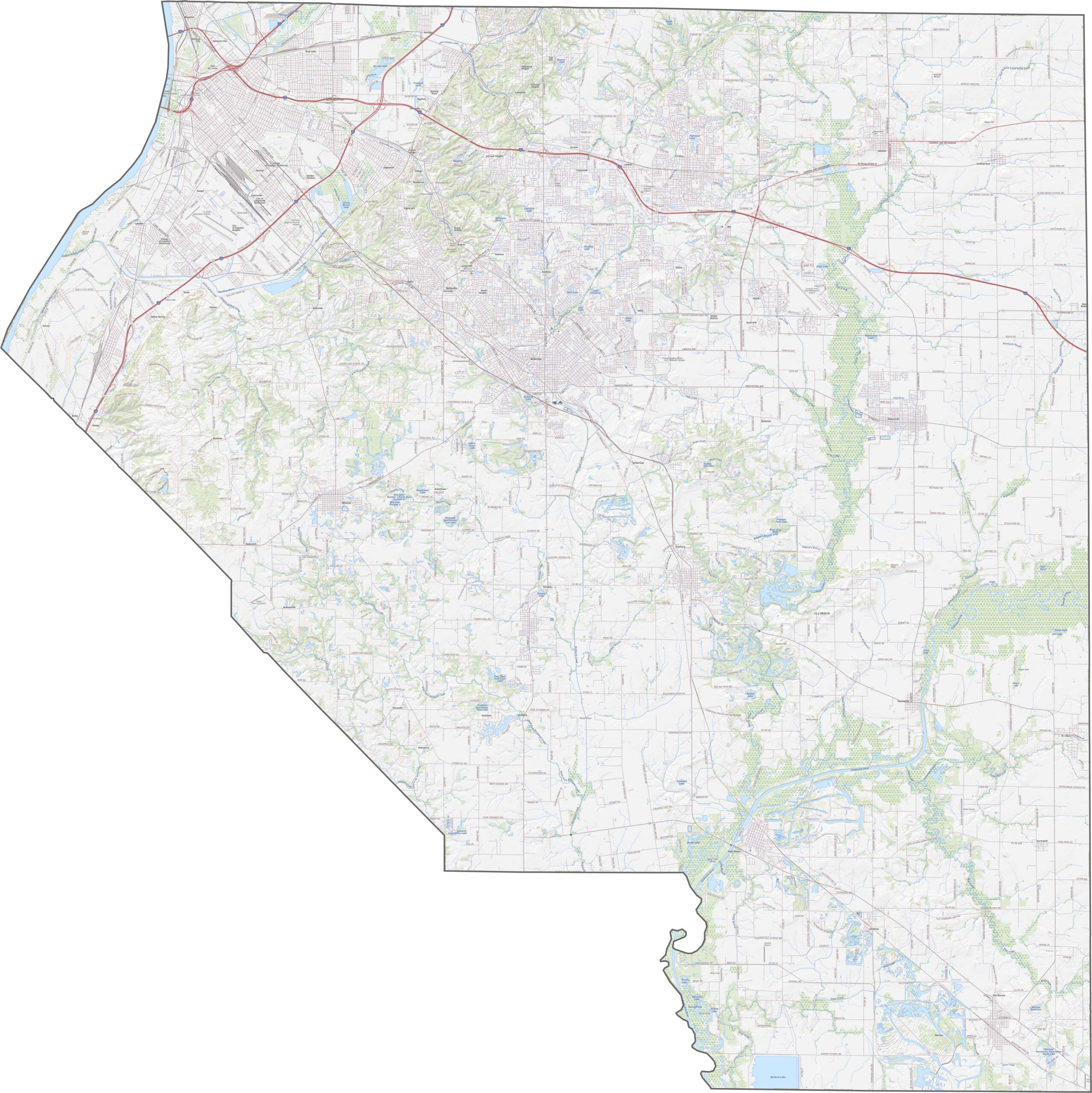
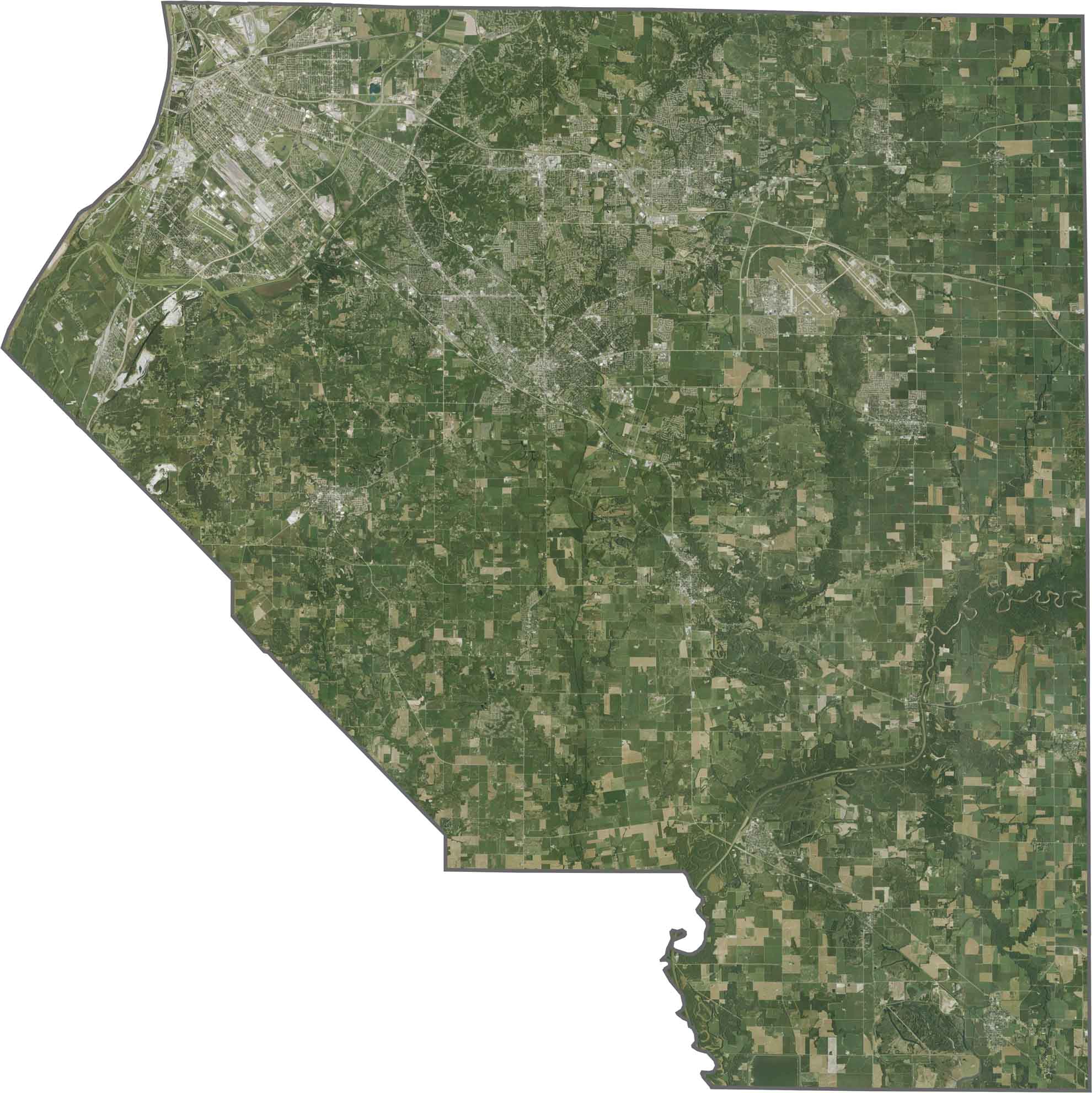
The landscape of St. Clair County ranges from the Mississippi River floodplain to gently rolling hills. Low-lying floodplains near the river gradually transition to higher, flatter land farther east.
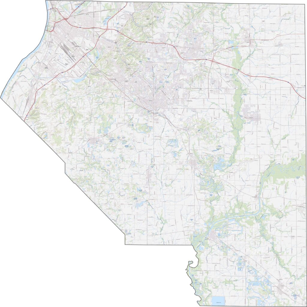
Urban areas like Belleville and East St. Louis stand out near the Mississippi River. Farmland and bluffs cover much of the remaining landscape, while major highways such as I-64 and I-255 cut clear paths through the county.
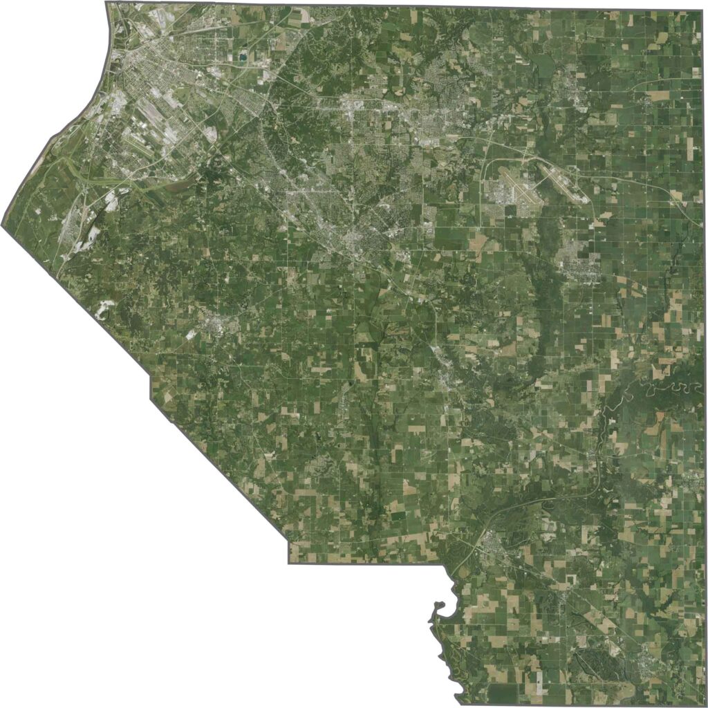
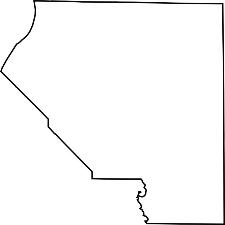
The Mississippi River forms the county’s western border, facing Missouri. The rest of the boundaries are mostly straight, following the typical pattern of many Illinois counties.







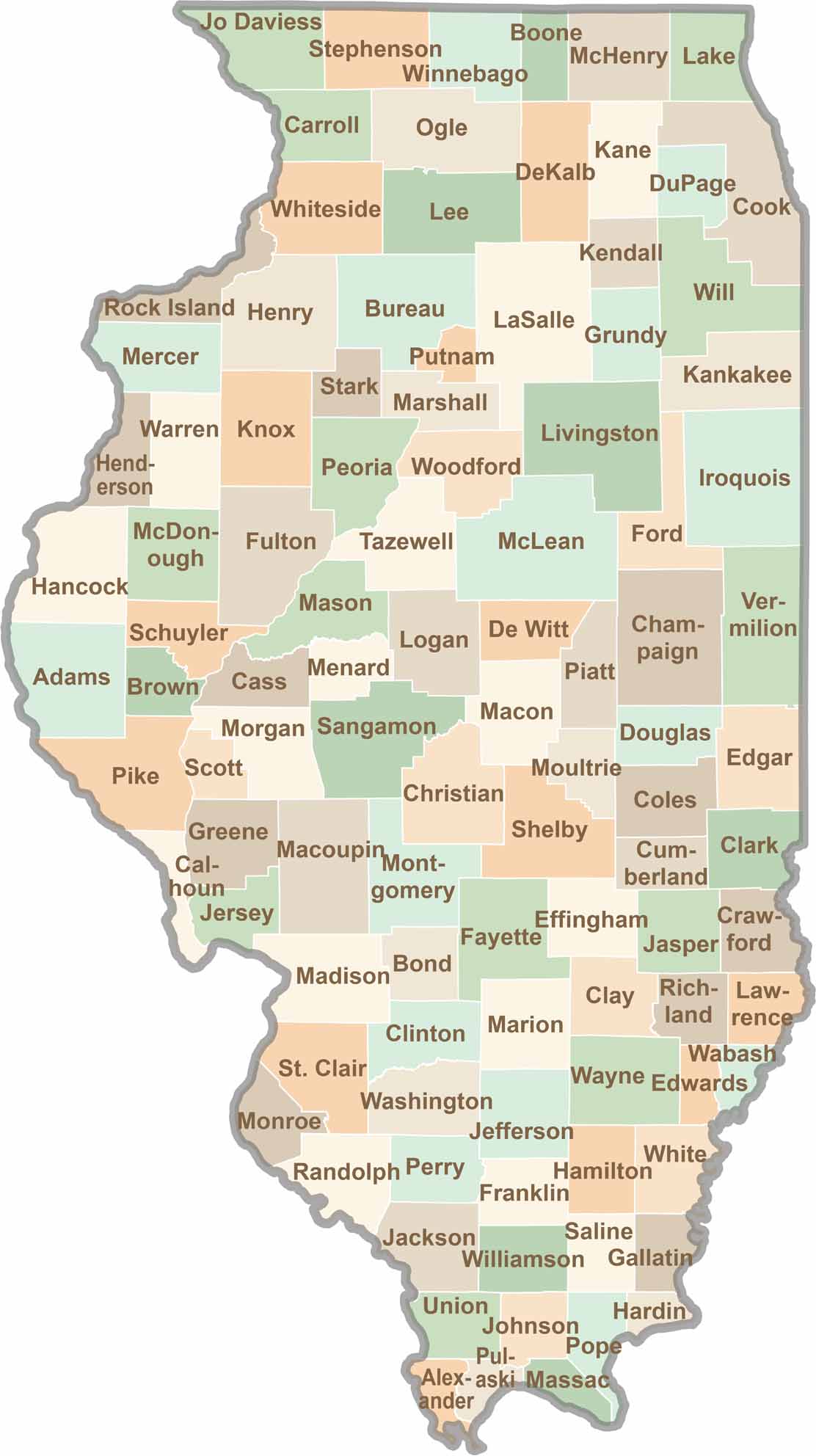
Ready to explore Illinois? Discover counties full of surprises, from the energy of Chicago and Cook County to the quiet beauty of Shawnee National Forest. Explore rich history, farmland, natural scenery, and small-town charm with our Illinois county map. Find your next adventure and discover all that Illinois has to offer.