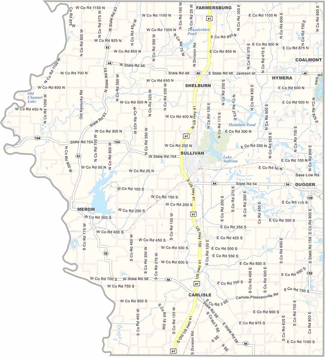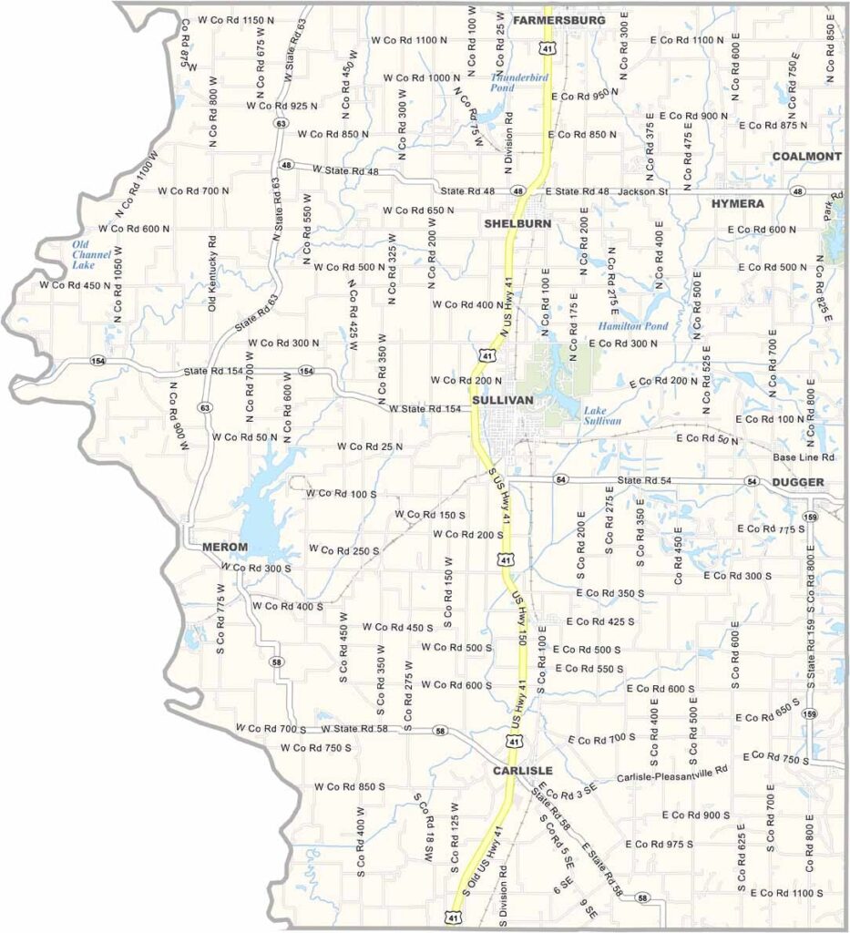
Sullivan County, Indiana

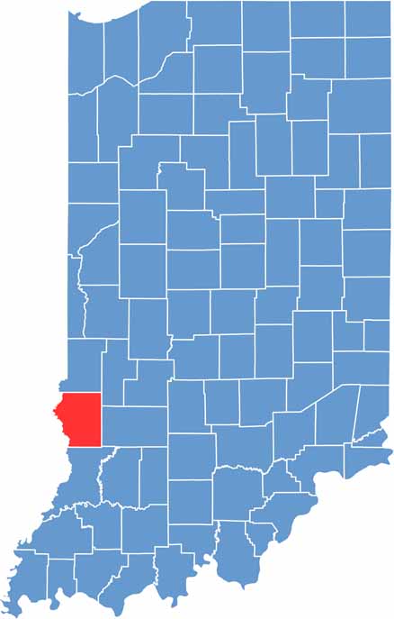
Sullivan County is located in the southwestern corner of the state. Sullivan serves as the county seat and is a classic example of small-town USA. Jokingly, though, it feels like it hasn’t changed much since Eisenhower was president.

Visiting the county feels like stepping into a time capsule of rural Indiana. Life moves at a slower pace, with friendly locals and a strong sense of community that has remained steady over the years.

The Wabash River forms the western border, with Illinois on the other side. The annual Sullivan Rotary Corn Festival is when this otherwise quiet county really comes alive.

CategoryDetails
County NameSullivan County
County SeatSullivan
EtymologyNamed after Daniel Sullivan, a general in the American Revolutionary War
Cities, Towns, and CommunitiesSullivan, Shelburn, Dugger, Carlisle, Farmersburg, Hymera, Merom, Graysville, Paxton
Interstates and HighwaysUS-41, IN-48, IN-54, IN-58, IN-63, IN-154
FIPS Code18-153
Total Area (Land and Water)454 square miles (Land: 447 sq mi, Water: 7 sq mi)
Adjacent Counties (and Direction)Vigo County (North), Clay County (Northeast), Greene County (East), Knox County (South), Crawford County, Illinois (West), Clark County, Illinois (Northwest)
Time ZoneEastern Time Zone (ET)
Population19,000 (estimated)
StateIndiana
Coordinates39.0954° N, 87.4140° W
Major LandmarksSullivan County Park and Lake, Merom Bluff Park, Minnehaha Fish and Wildlife Area, Shakamak State Park
Scroll to Top