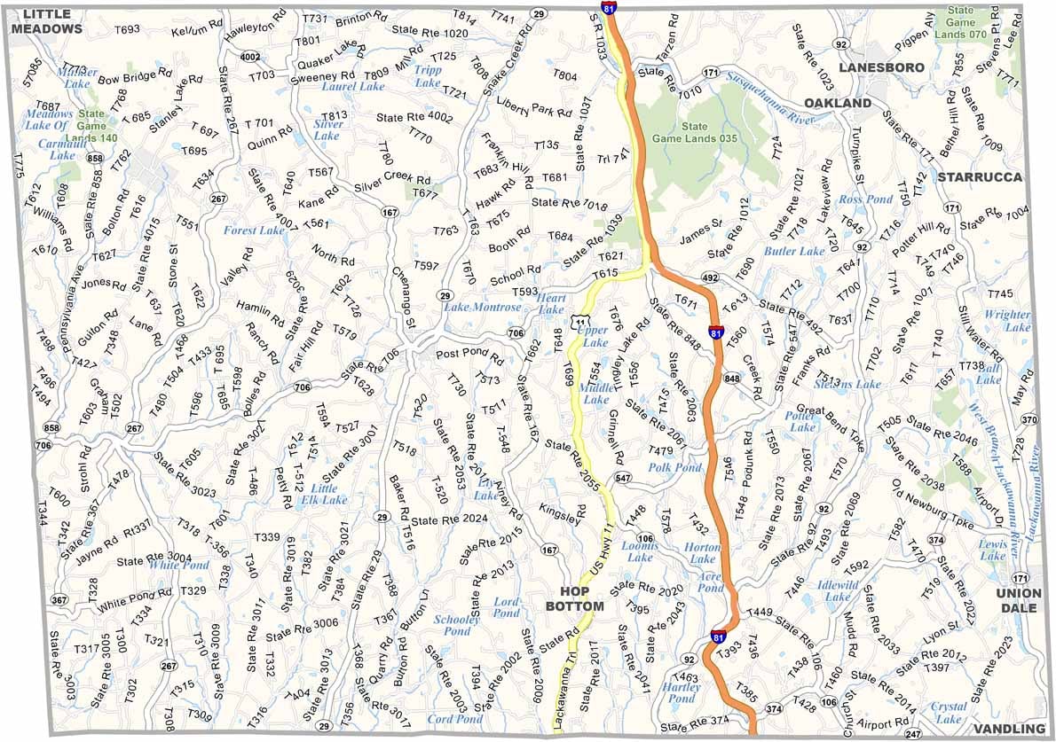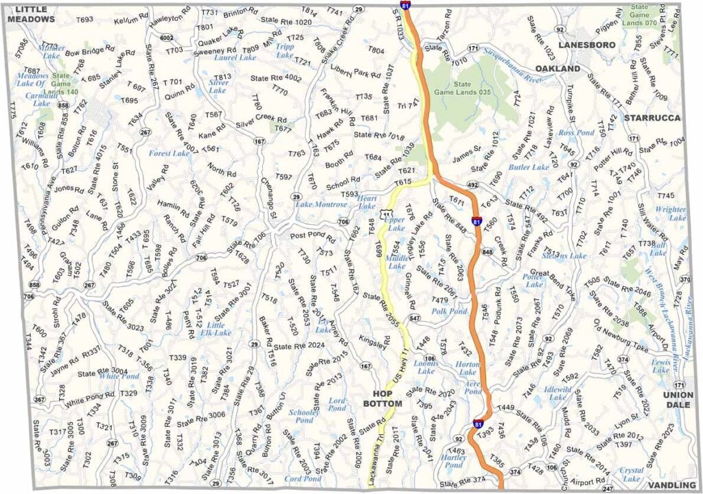
Susquehanna County Map, Pennsylvania

Susquehanna County, Pennsylvania

Susquehanna County sits in the northeast corner of Pennsylvania, right along the New York border. People first settled here in the late 1700s, so the area has plenty of age to it.

The Endless Mountains give the county its signature look, and Salt Springs State Park is a great stop for hikers. There are no big cities here, just small towns and plenty of farmland.

In recent years, natural gas drilling has become a key part of the economy, though dairy farming is still important. Montrose, the county seat, hosts a popular blueberry festival every summer. The county is a true piece of rural Pennsylvania life.
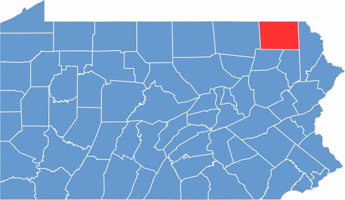

Location map of Susquehanna County, Pennsylvania
CategoryDetails
County NameSusquehanna County
County SeatMontrose
EtymologyNamed after the Susquehanna River
Cities, Towns, and CommunitiesMontrose, Susquehanna Depot, Hallstead, Great Bend, New Milford
Interstates and HighwaysInterstate 81, U.S. Highway 11, State Highway 92
FIPS Code42-115
Total Area (Land and Water)832 square miles (823 sq mi land, 9 sq mi water)
Adjacent Counties (and Direction)Broome County, New York (North), Wayne County (East), Lackawanna County (Southeast), Wyoming County (Southwest), Bradford County (West), Tioga County, New York (Northwest)
Time ZoneEastern Time Zone (EST)
StatePennsylvania
Coordinates41°49’N, 75°47’W
Major LandmarksSalt Springs State Park, Elk Mountain Ski Resort, Florence Shelly Preserve
PopulationApproximately 39,000
Scroll to Top