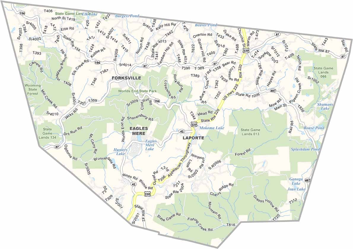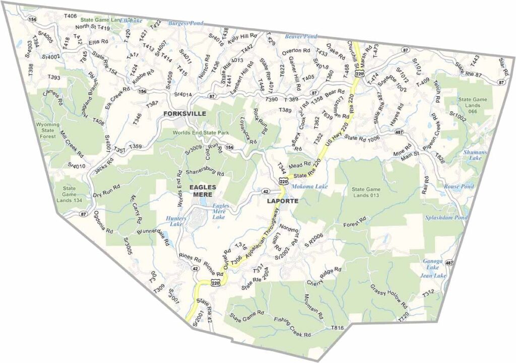
Sullivan County Map, Pennsylvania

Sullivan County, Pennsylvania

Sullivan County sits in north-central Pennsylvania, surrounded by endless forests, and it is one of those places where you can truly get away from it all. Barely 6,000 people call it home.

What it lacks in population, it makes up for in natural beauty. Worlds End State Park is a must-see, with its rugged canyons and waterfalls, and hunting is huge here, especially during deer season.

Loyalsock Creek is perfect for fishing and kayaking, and summers bring a rush of visitors escaping the city heat. The county has a rich lumber history, though today it is all about outdoor recreation.
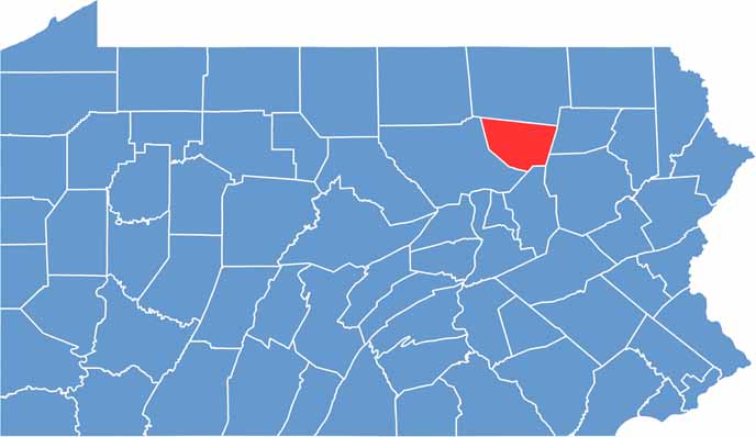

Location map of Sullivan County, Pennsylvania
CategoryDetails
County NameSullivan County
County SeatLaporte
EtymologyNamed after John Sullivan, Revolutionary War general
Cities, Towns, and CommunitiesLaporte, Dushore, Eagles Mere, Mildred
Interstates and HighwaysU.S. Highway 220, State Highway 42
FIPS Code42-113
Total Area (Land and Water)452 square miles (450 sq mi land, 2 sq mi water)
Adjacent Counties (and Direction)Bradford County (North), Wyoming County (East), Luzerne County (Southeast), Columbia County (South), Lycoming County (West)
Time ZoneEastern Time Zone (EST)
StatePennsylvania
Coordinates41°26’N, 76°30’W
Major LandmarksWorlds End State Park, Loyalsock State Forest, Ricketts Glen State Park
PopulationApproximately 6,000
Scroll to Top