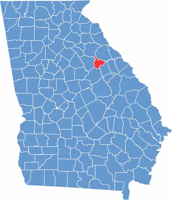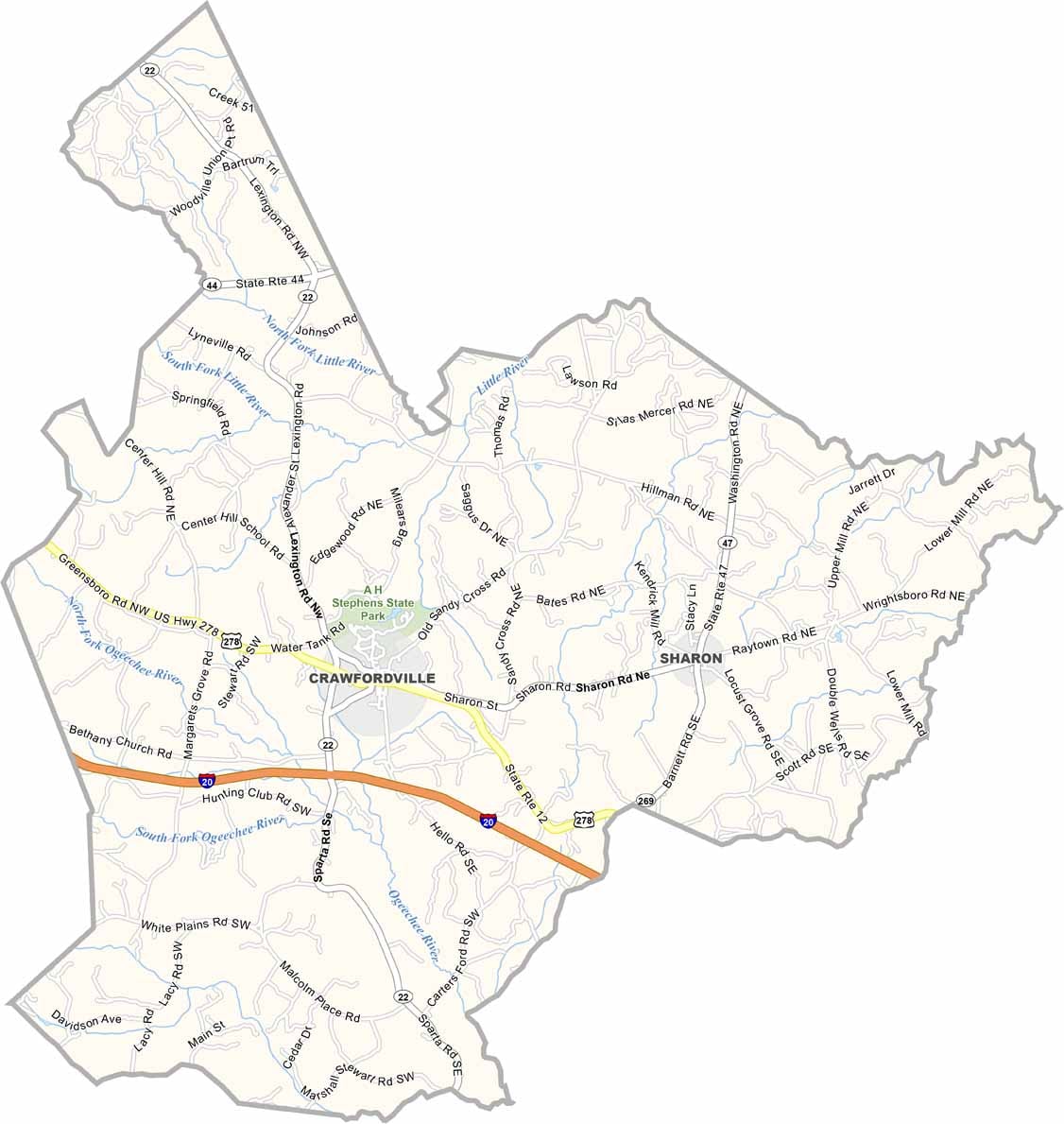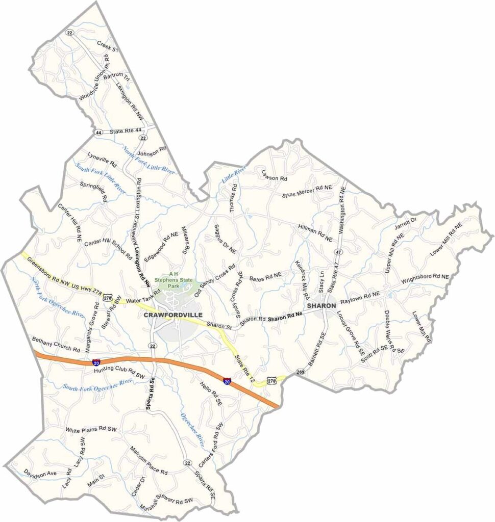
Taliaferro County is located in east-central Georgia and was established in 1825. One of the state's smallest counties, it is named in honor of Revolutionary War veteran Benjamin Taliaferro. Crawfordville, the county seat, serves as the center of this quiet rural community.
The county is known for its rich history and well-preserved rural character. One of its most notable attractions is Alexander H. Stephens State Park, which commemorates the former Georgia governor and Confederate vice president while offering opportunities for hiking, camping, fishing, and exploring the historic grounds.
Home to fewer than 2,000 residents, Taliaferro County has maintained a close-knit community despite its small population. Agriculture and forestry remain the foundation of the local economy, while its preserved 19th-century homes and historic buildings provide a lasting glimpse into Georgia’s architectural and cultural heritage.