
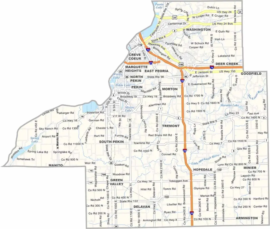
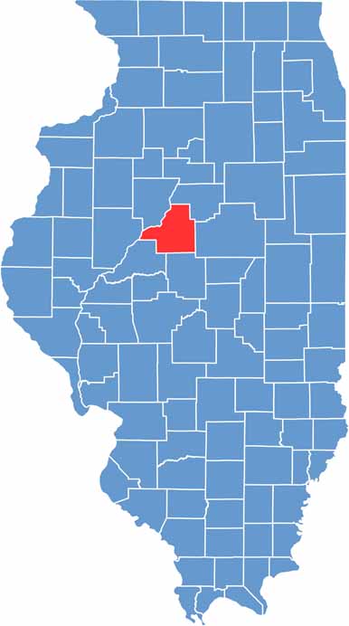
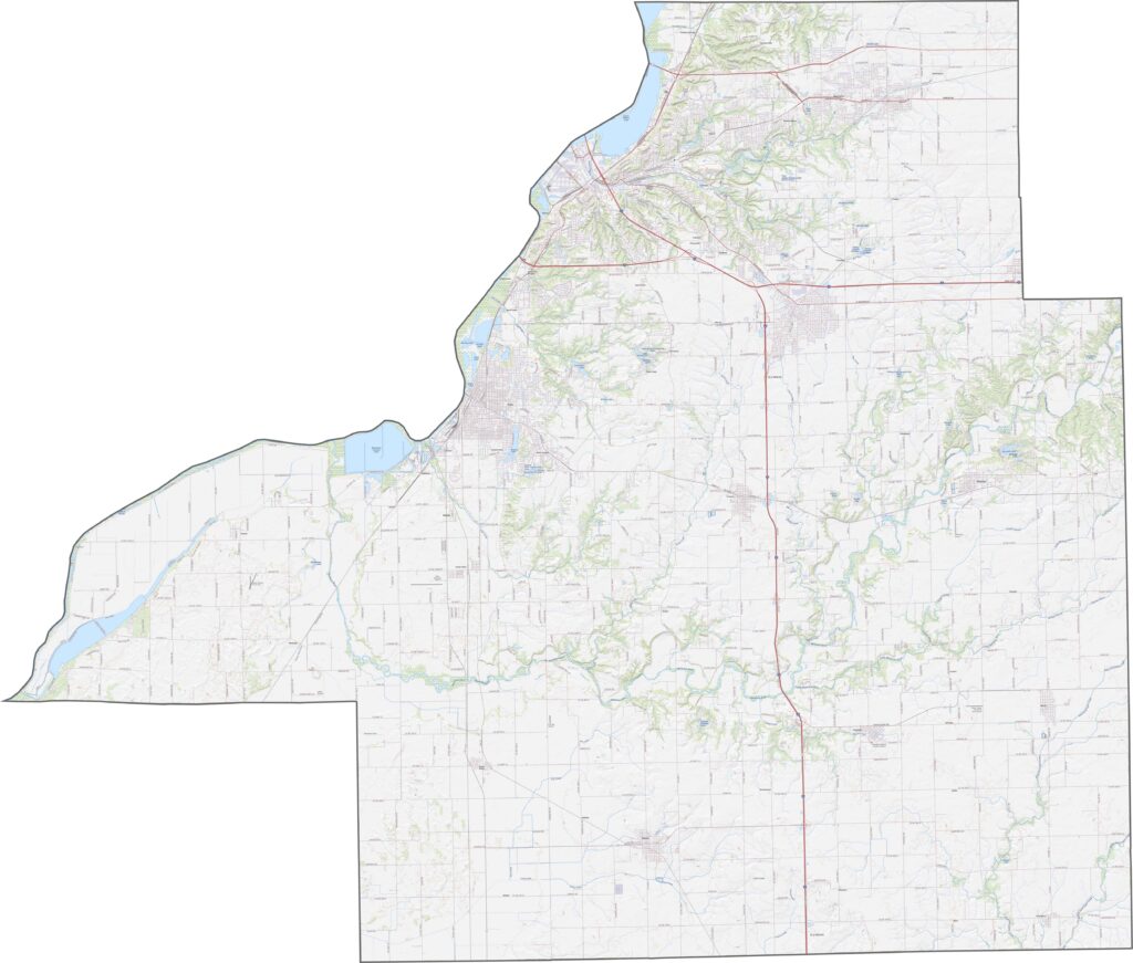
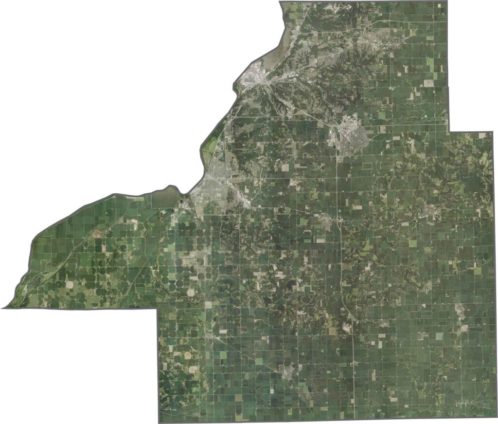
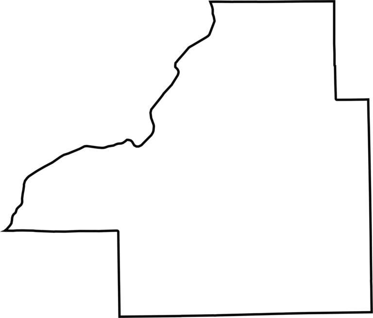
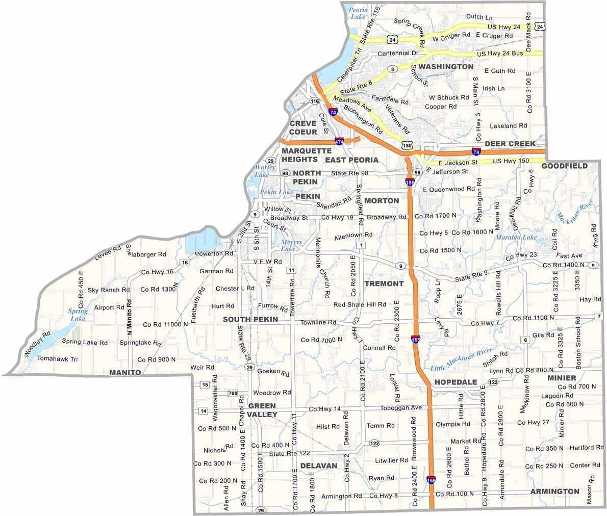
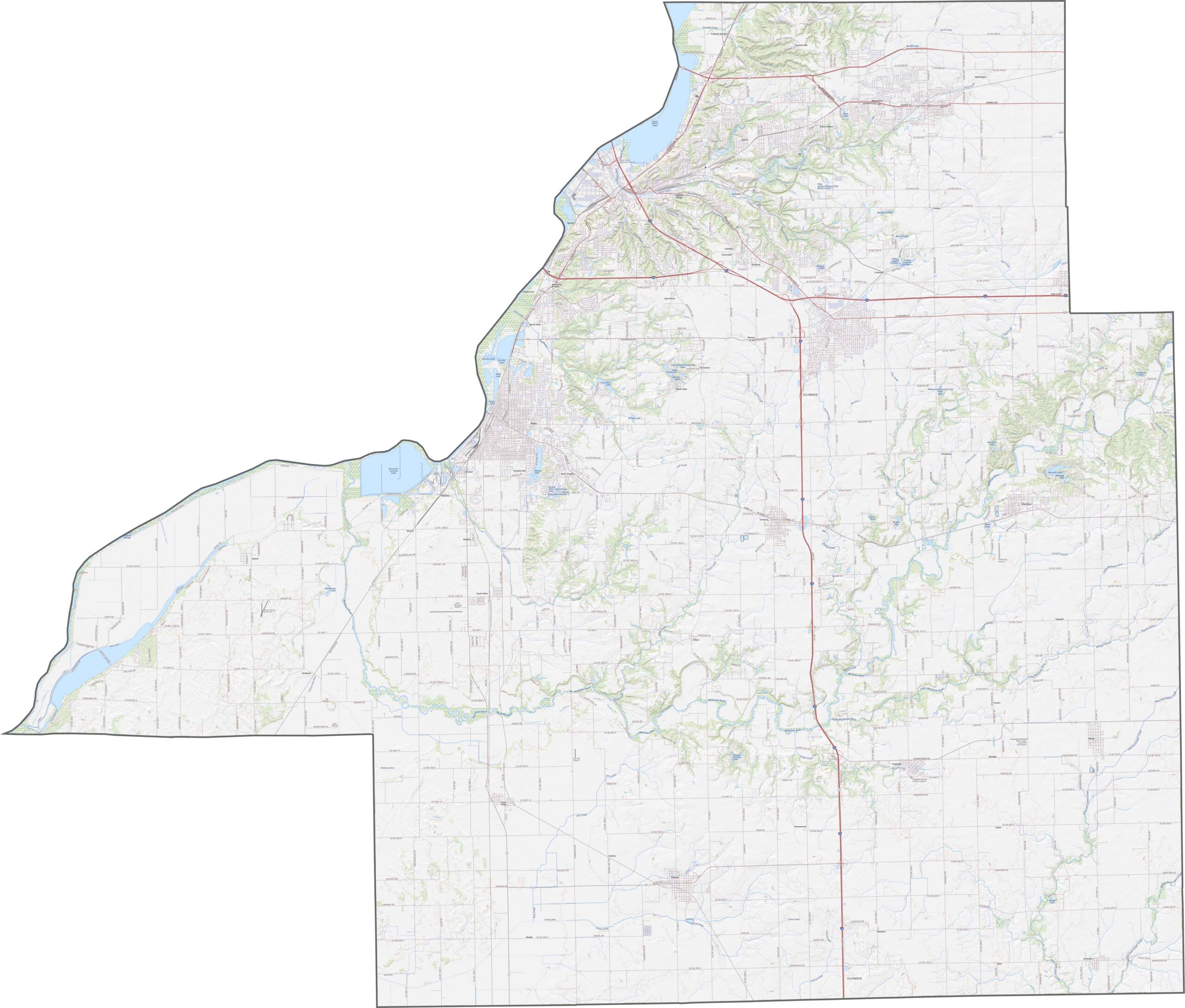
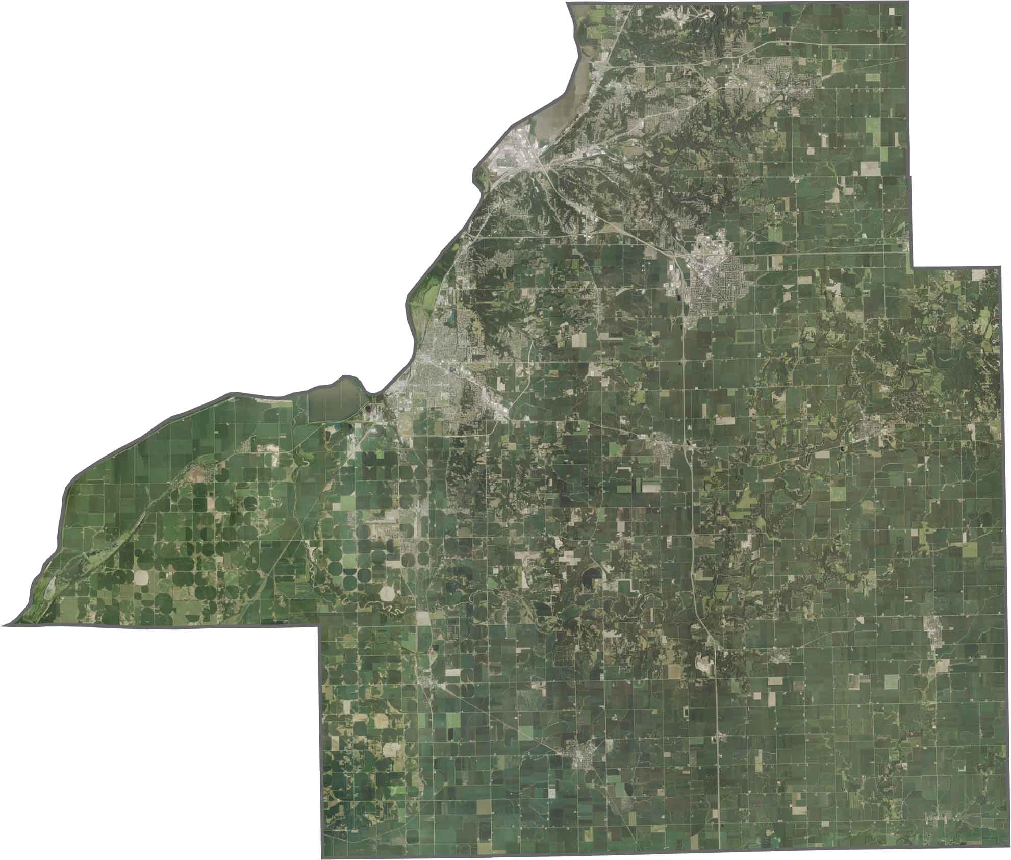
Tazewell County stretches along the Illinois River on its western edge, just southeast of Peoria. Pekin is the county seat and has a bit of a rough-and-tumble reputation.
Morton, another town in the county, calls itself the “Pumpkin Capital of the World.” That’s because most canned pumpkins are produced here. They’re not kidding—the smell of pumpkins fills the air every fall.
This place is a mix of river towns and farmland. There’s more industry here compared to many other rural Illinois counties. People here work hard, and it shows.
While much of Winnebago County is relatively flat, the Rock River Valley creates rolling hills and bluffs, especially around Rockford. Small lakes and wetlands can also be found in the northern sections, while the majority of the county consists of open farmland.
While much of Winnebago County is relatively flat, the Rock River Valley creates rolling hills and bluffs, especially around Rockford. Small lakes and wetlands can also be found in the northern sections, while the majority of the county consists of open farmland.
While much of Winnebago County is relatively flat, the Rock River Valley creates rolling hills and bluffs, especially around Rockford. Small lakes and wetlands can also be found in the northern sections, while the majority of the county consists of open farmland.







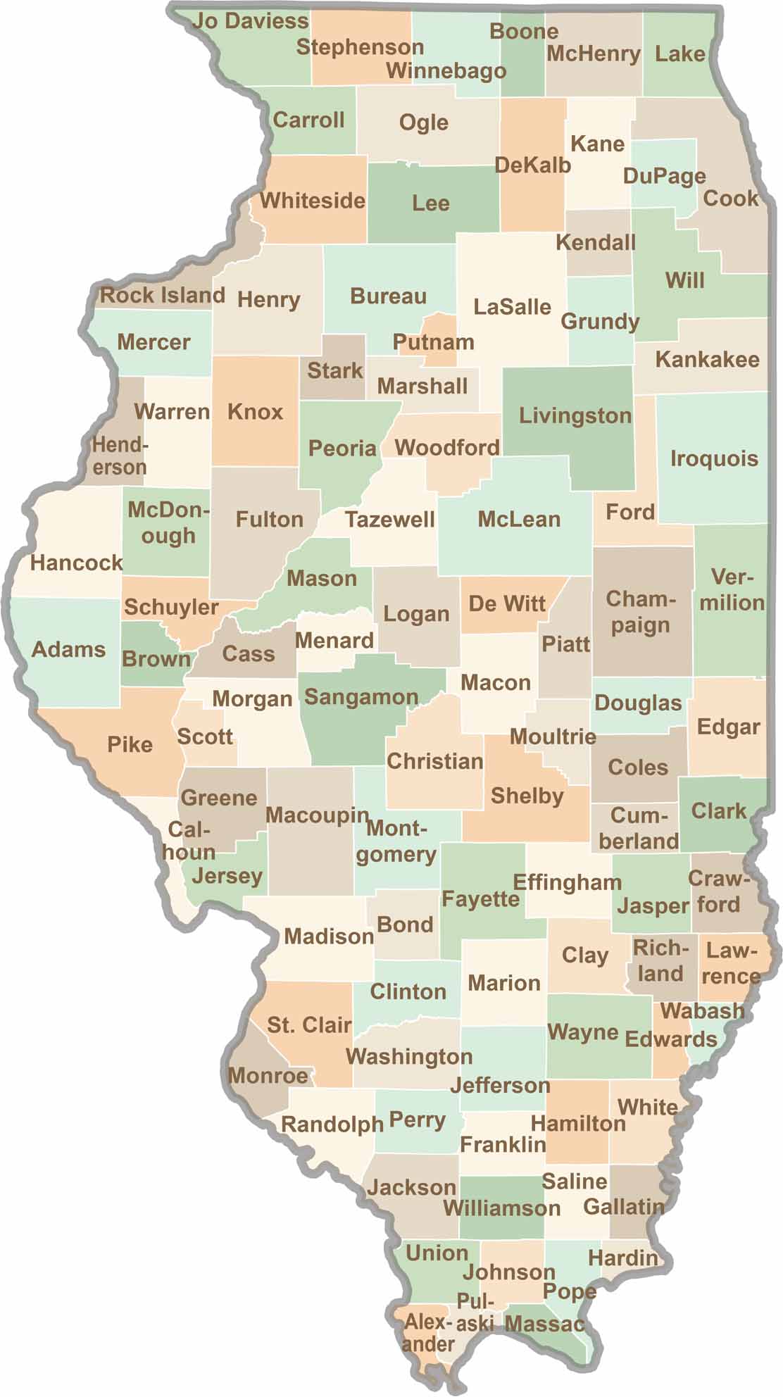
Ready to explore Illinois? Discover counties full of surprises, from the energy of Chicago and Cook County to the quiet beauty of Shawnee National Forest. Explore rich history, farmland, natural scenery, and small-town charm with our Illinois county map. Find your next adventure and discover all that Illinois has to offer.