
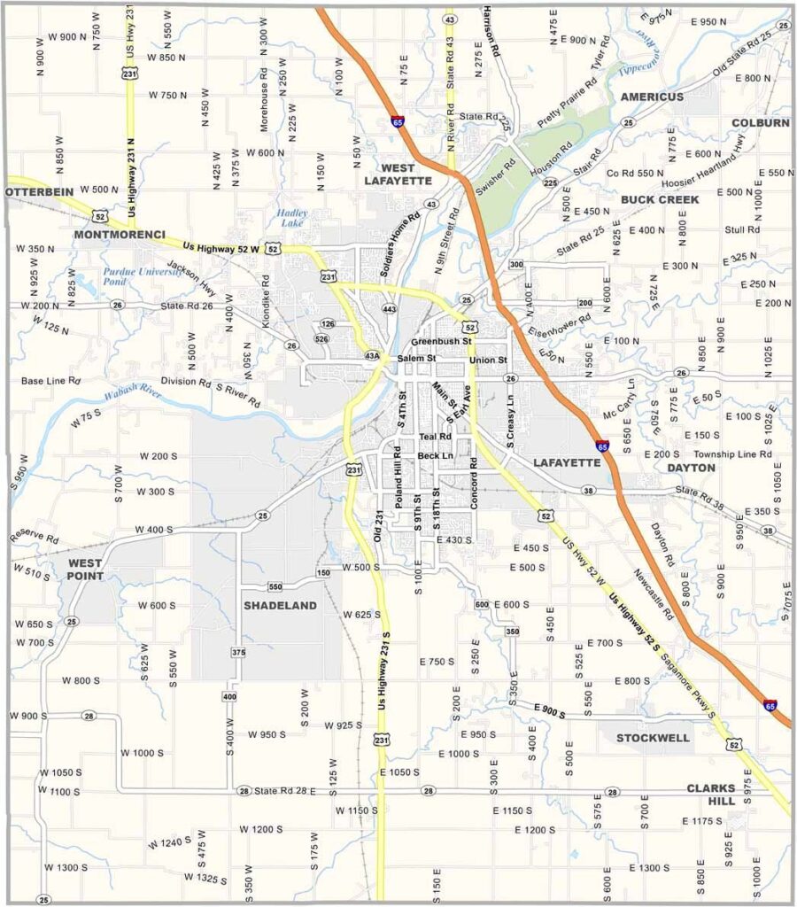
Tippecanoe County is where Indiana decides to get a little weird. Home to Purdue University, it’s a place where rocket scientists rub elbows with farmers.
Engineering students build robots alongside cornfields. One side has blue-collar grit, while the other has an ivory-tower attitude. Somehow, though, they make it work. And let’s not forget the name.
Lafayette is the county seat, and its twin city, West Lafayette, feels like the odd couple of the Midwest. Tippecanoe—try saying that five times fast after a few pints at one of the local breweries.
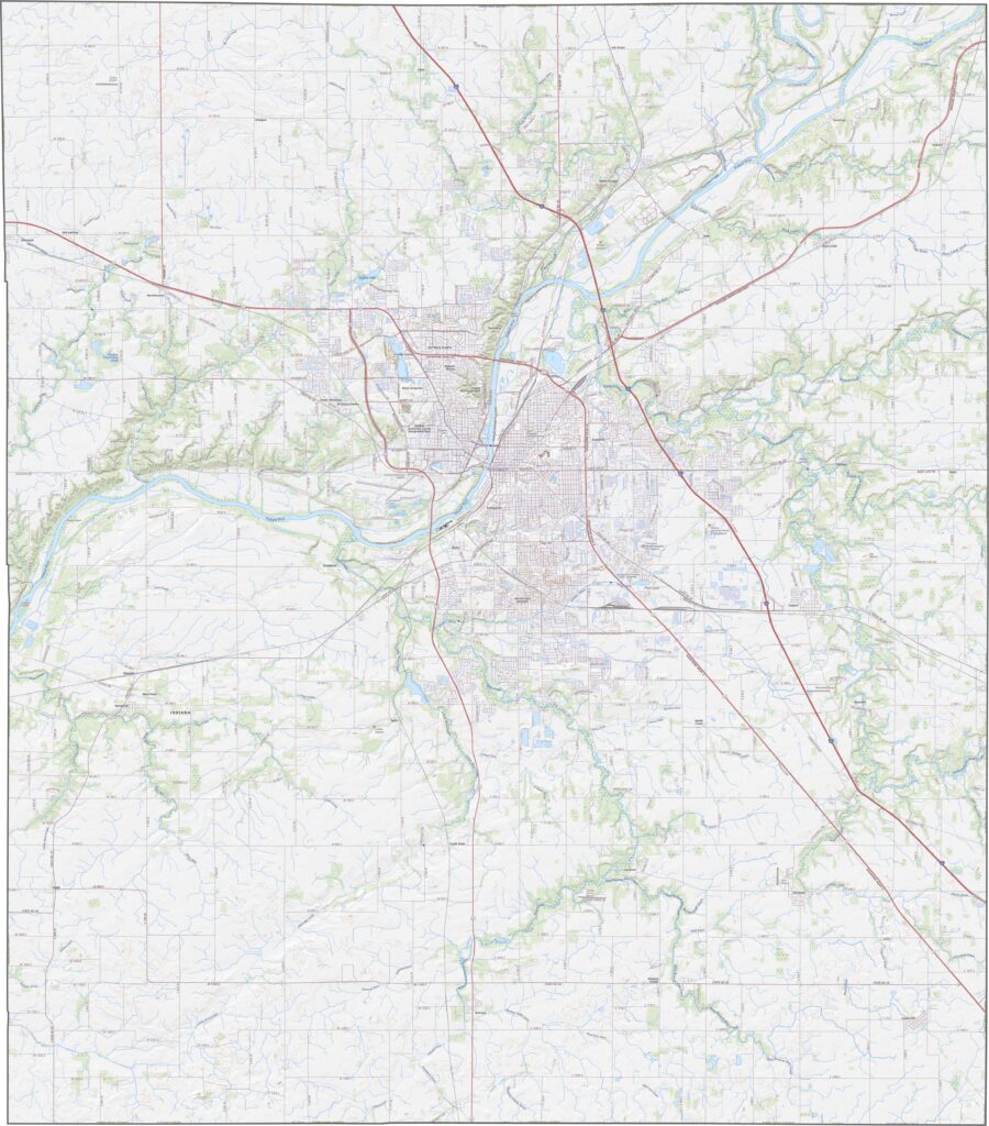
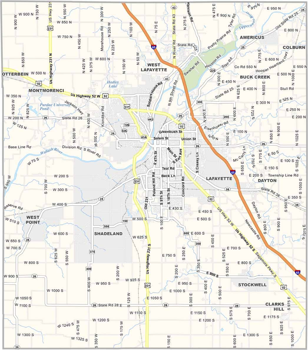
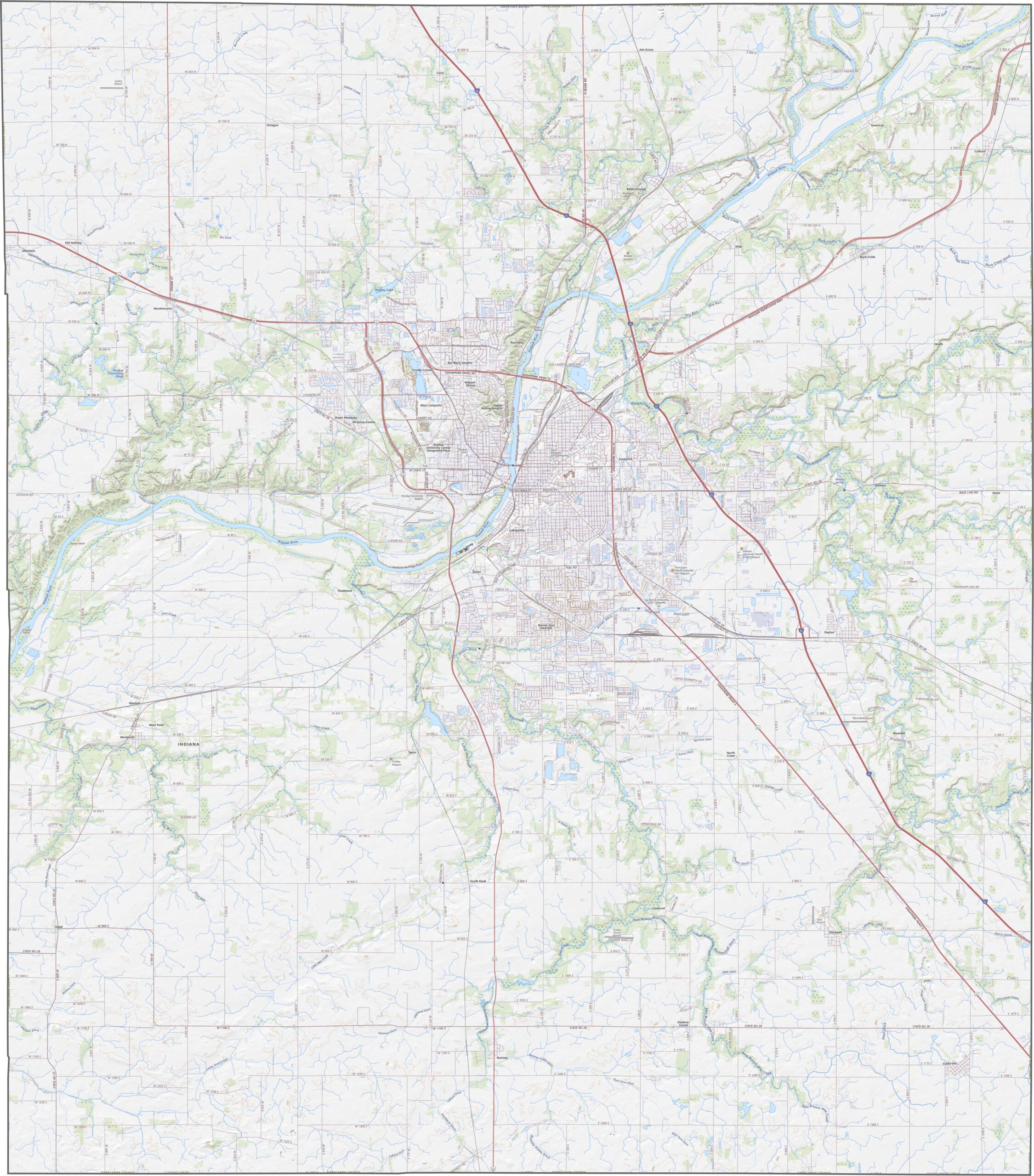
Mostly flat plains cover the county, while the Wabash River creates a broad valley along its western edge. Fertile soil supports extensive farmland throughout the area. Our zoom tool highlights I-65, US-52, and other key highways that connect the county to the rest of Indiana.
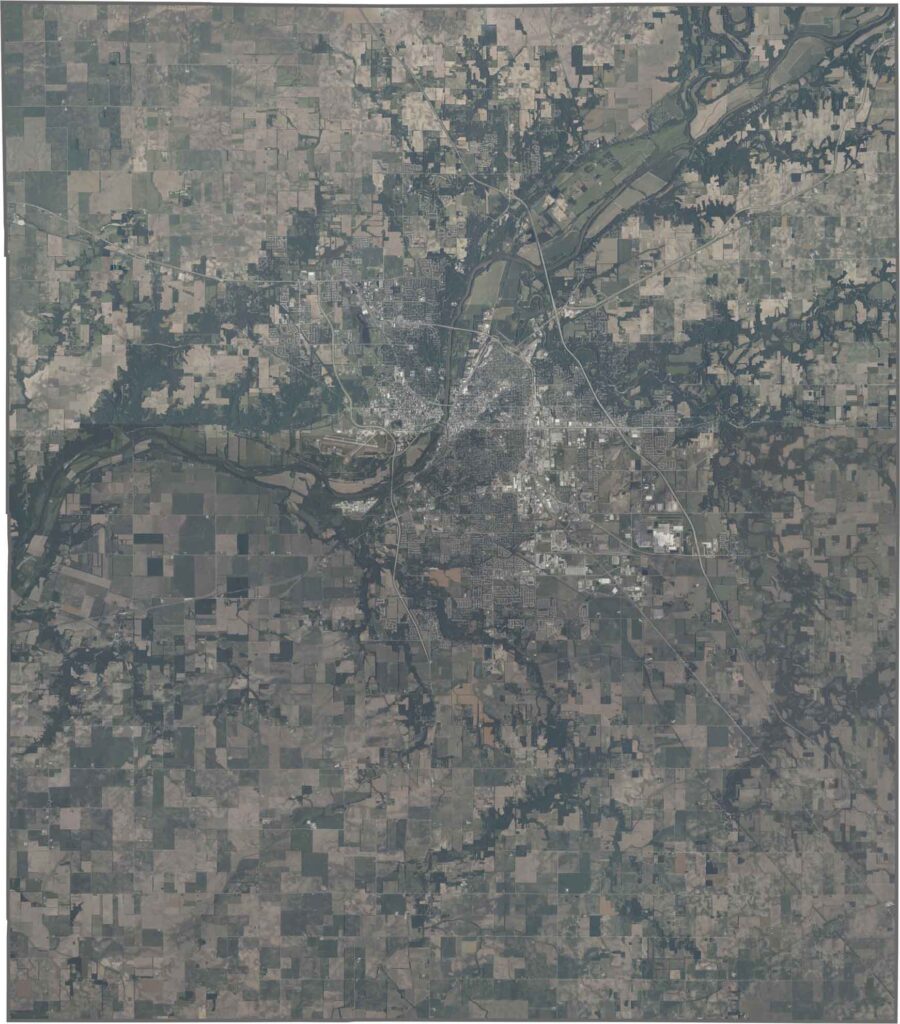
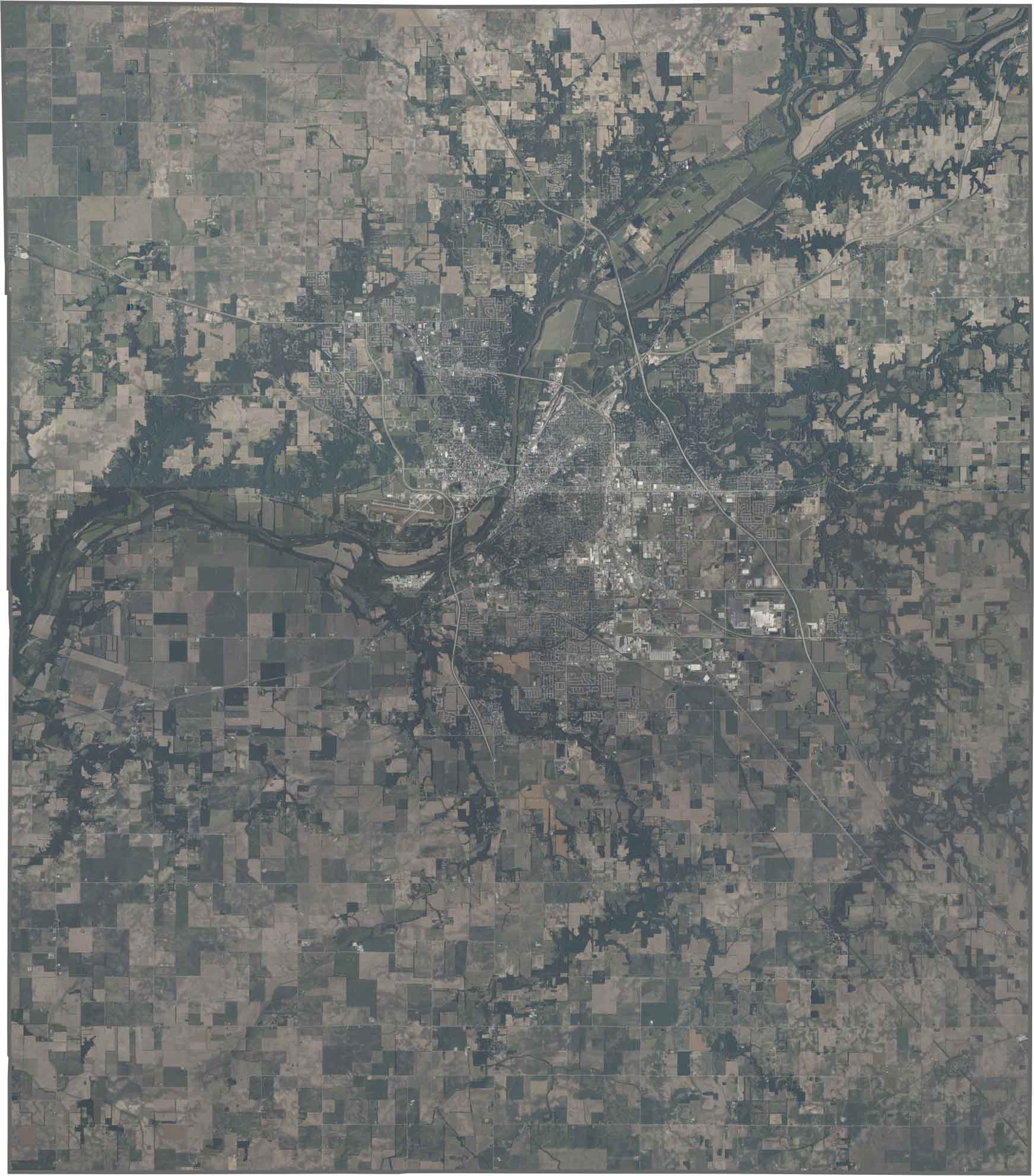
West Lafayette and Lafayette stand out along the Wabash River, with their urban areas contrasting against the surrounding fields. Orderly farm fields stretch eastward in geometric patterns across the landscape.
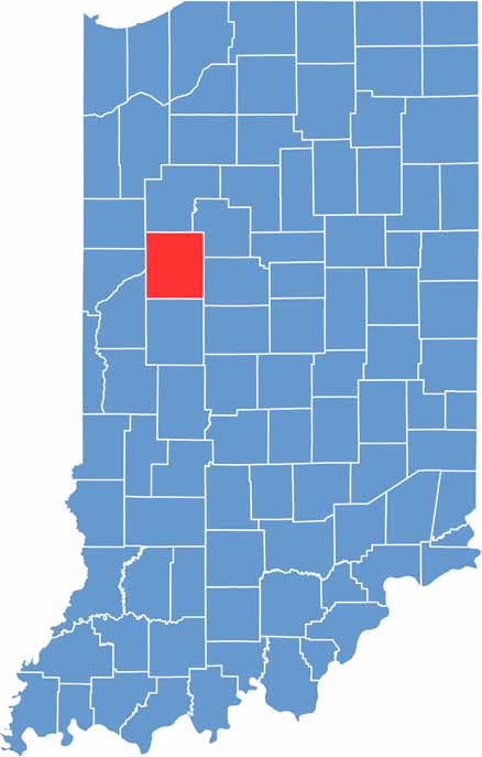
Tippecanoe County has a rectangular shape and does not touch any state lines, as it is surrounded by other Indiana counties.








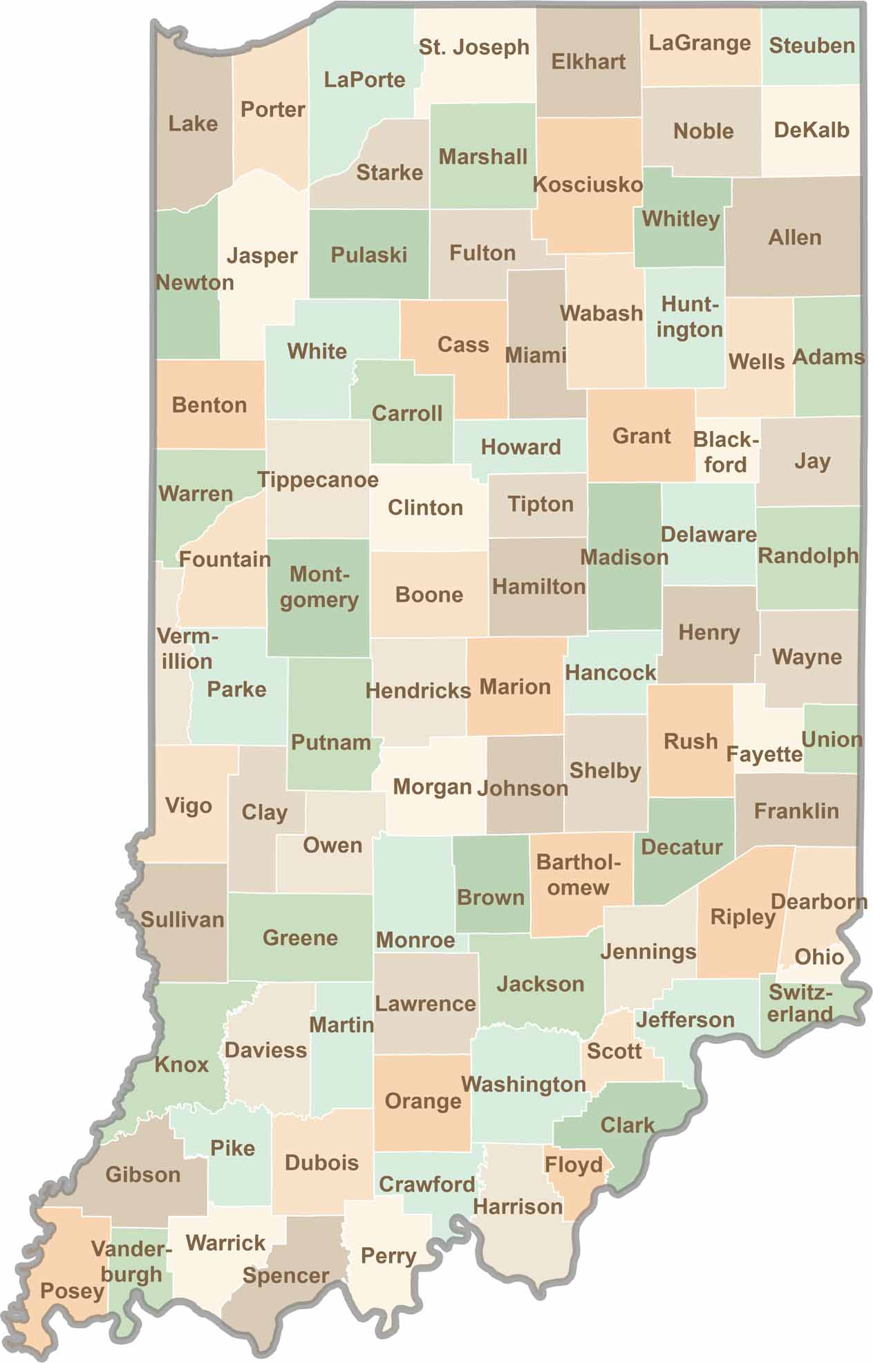
Explore the Hoosier State, home to 92 counties filled with scenic backroads, impressive skyline views, and charming small towns. Think of this as your glovebox passport to Indiana, guiding you to classic diner pies, covered bridges, and stunning Lake Michigan sunsets.