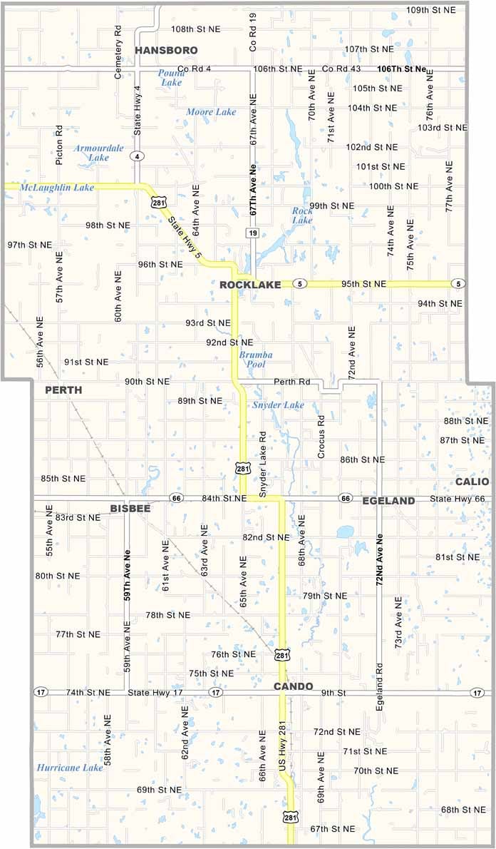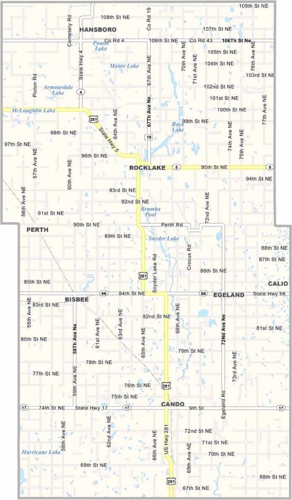
Towner County Map, North Dakota

Towner County, North Dakota

Towner County sits near the Canadian border in north-central North Dakota. Cando, a town with plenty of can-do spirit, serves as the county seat, and resilience runs deep here.

Farming and ranching dominate the landscape, and you'll find some of the friendliest people around. The county has weathered tough times but always bounces back.

Community events bring everyone together, and there's a certain peace in the wide-open spaces. Kids grow up knowing the value of hard work. It's not flashy, but it's home.
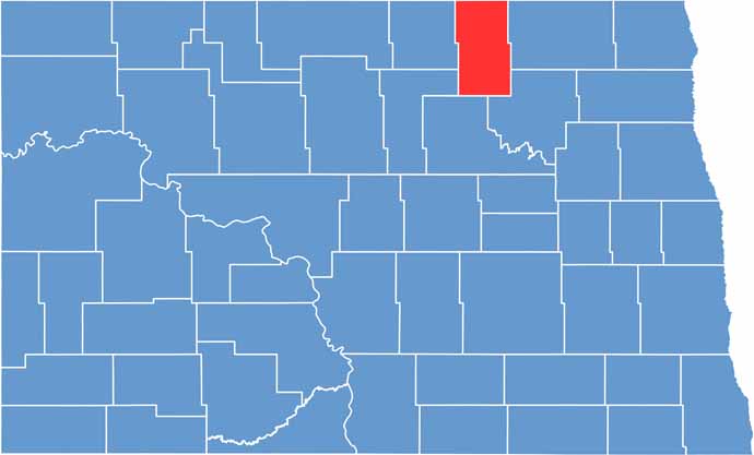
Towner County location map of North Dakota
CategoryDetails
County NameTowner County
County SeatCando
EtymologyNamed after Dakota territorial legislator Oscar M. Towner
Cities, Towns, and CommunitiesCando, Jameson, Hensler, Kramer
Interstates and HighwaysNorth Dakota Highway 66, North Dakota Highway 20
FIPS Code38-095
Total Area1,348 square miles (land and water)
Adjacent CountiesCavalier County (East), Ramsey County (Southeast), Benson County (South), Pierce County (Southwest), Rolette County (West)
Time ZoneCentral Time Zone
StateNorth Dakota
Coordinates48.4645° N, 100.0712° W
Major LandmarksCando Historical Society Museum, Lake Metigoshe
PopulationApproximately 2,500
Scroll to Top