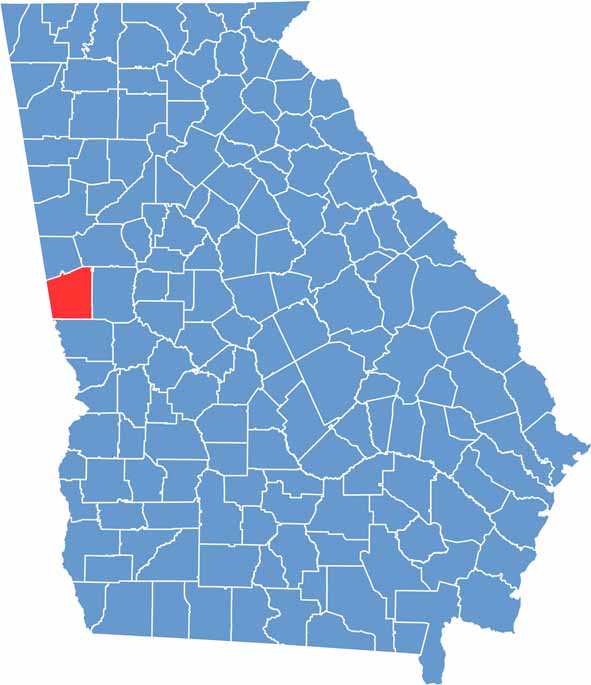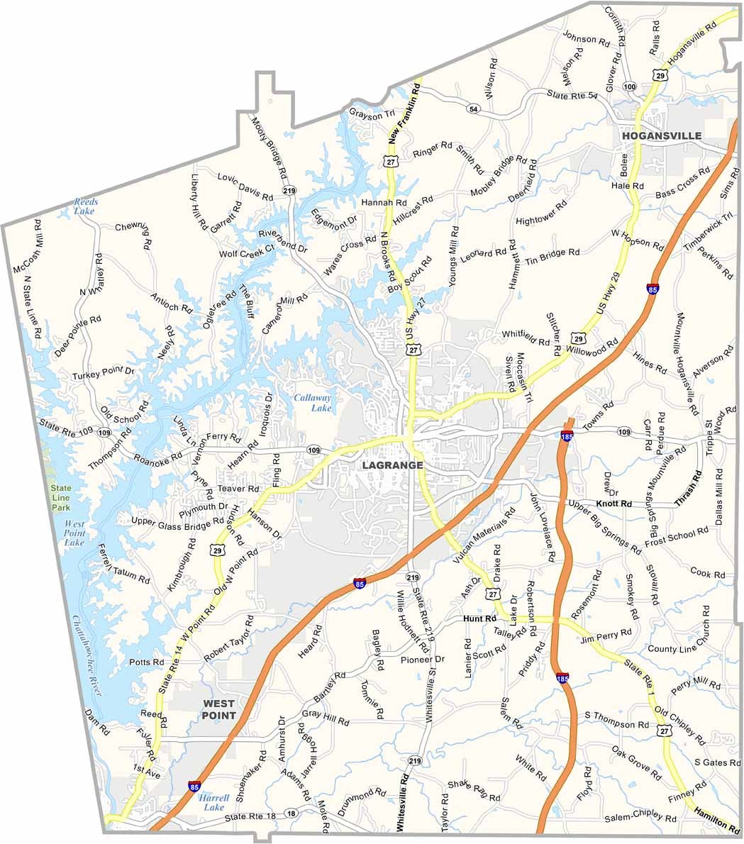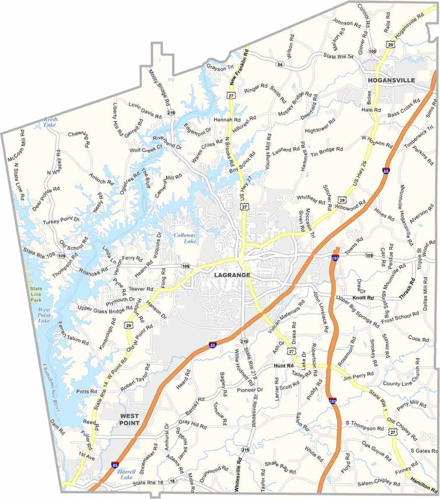
Troup County is located in west-central Georgia, about an hour southwest of Atlanta along the Alabama border. LaGrange, the county seat, serves as the county’s cultural and economic center. West Point Lake is one of the area’s top attractions, offering thousands of acres for fishing, boating, camping, and other outdoor recreation.
The county has a proud textile manufacturing heritage, while modern industries such as automotive production have become major economic drivers. LaGrange College, Georgia’s oldest private college, adds a vibrant academic presence to the community.
Families enjoy visiting the nearby Wild Animal Safari, while the historic Hills & Dales Estate is especially popular during the fall when its gardens are filled with seasonal color. Blending historic traditions with continued economic growth, Troup County offers a unique mix of history, recreation, and modern opportunity.