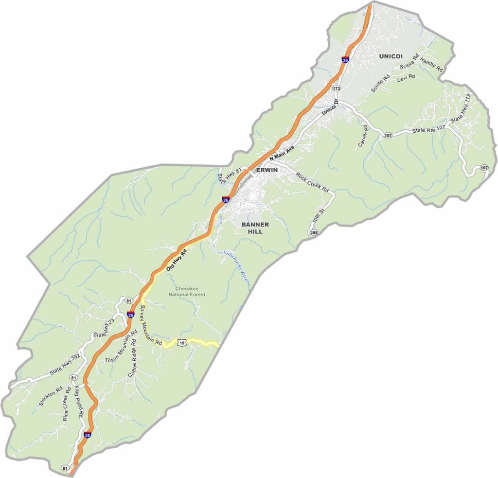
Unicoi County, Tennessee

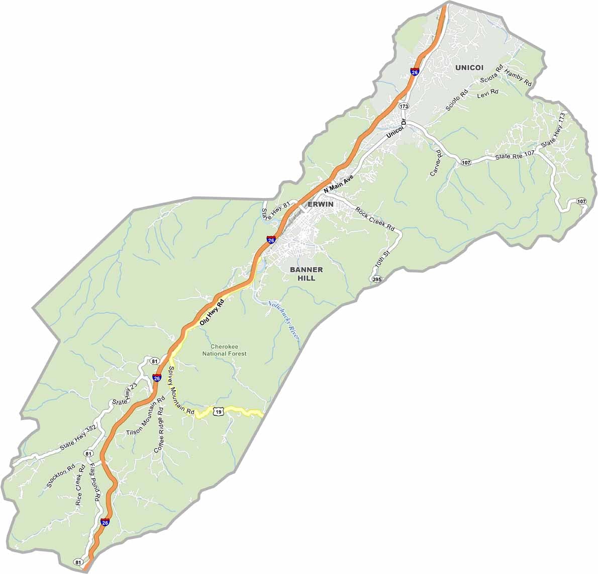
Unicoi County is tucked into the Appalachian Mountains of eastern Tennessee, surrounded by rugged peaks and beautiful valleys. Erwin serves as the county seat and sits in a scenic valley with mountains rising all around it.

The Nolichucky River cuts through the county and is a favorite for rafting, kayaking, and other outdoor adventures. Hikers can explore this section of the Appalachian Trail, while Rocky Fork State Park offers even more trails and natural scenery. Outdoor lovers have plenty of reasons to spend time here.

Unicoi County is also famous for its apple orchards. Fall is a great time to visit, especially when the annual Apple Festival celebrates the local harvest. Cherokee National Forest covers much of the county, adding even more forests, trails, and mountain scenery to this beautiful corner of Tennessee.

Printable Stone County Missouri location map showing county location and boundaries
CategoryDetails
County NameUnicoi County
County SeatErwin
PopulationApproximately 18,000
Cities, Towns, and CommunitiesErwin, Unicoi, Banner Hill, Limestone Cove
Interstates and HighwaysInterstate 26, U.S. Highway 19W
FIPS Code47-171
Total Area (Land and Water)186 square miles (186 sq mi land, <1 sq mi water)
Adjacent Counties (and Direction)Washington County (North), Carter County (Northeast), Mitchell County, North Carolina (East), Yancey County, North Carolina (South), Madison County, North Carolina (Southwest), Greene County (West)
Time ZoneEastern Time Zone (EST)
StateTennessee
Coordinates36°09’N, 82°26’W
EtymologyDerived from a Cherokee word meaning “white” or “fog draped”
Major LandmarksBuffalo Mountain Park, Nolichucky River, Cherokee National Forest
Scroll to Top