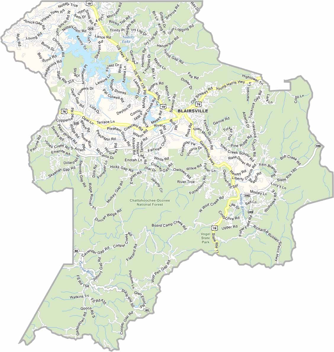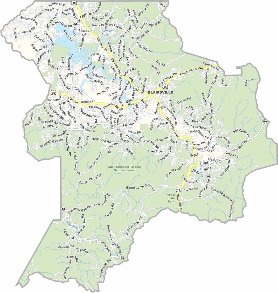
Union County, Georgia

Union County is nestled in the Blue Ridge Mountains of northeast Georgia, where the Chattahoochee National Forest provides spectacular scenery and endless outdoor recreation. The county is home to Brasstown Bald, the highest point in Georgia, offering breathtaking panoramic views throughout the year.

Blairsville, the county seat and only incorporated city, is known for its charming downtown filled with local shops, restaurants, and community events. Each October, the popular Sorghum Festival celebrates the region’s agricultural heritage with demonstrations, crafts, music, and traditional sorghum syrup.

Outdoor enthusiasts can enjoy camping, hiking, fishing, and boating at Vogel State Park and nearby Lake Nottely. During autumn, the mountains come alive with vibrant fall colors, making Union County one of Georgia’s premier leaf-peeping destinations.
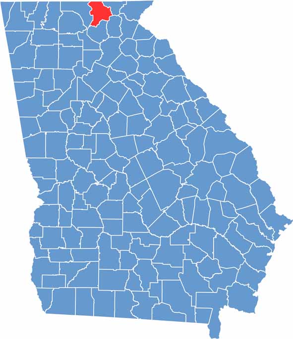

Union Location Map showing towns, roads, and geographic features in Georgia.
Category Details
County Name Union County
County Seat Blairsville
Cities, Towns, and Communities Blairsville (county seat), Suches, and other small communities
Interstates and Highways U.S. Route 76, State Route 515, State Route 180
Etymology Named for the Union of the States
FIPS Code 13-291
Total Area (Land and Water) 329 square miles (land: 328 sq mi, water: 1 sq mi)
Time Zone Eastern Time Zone (ET)
State Georgia
Coordinates 34.8833° N, 83.9333° W
Major Landmarks Vogel State Park, Chattahoochee National Forest, Lake Nottely
Adjacent Counties (and Direction) Cherokee County, North Carolina (North), Clay County, North Carolina (Northeast), Towns County (East), White County (Southeast), Lumpkin County (South), Fannin County (West)
Population Approximately 27,500
Scroll to Top