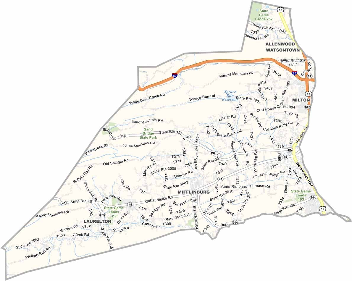
Union County Map, Pennsylvania

Union County, Pennsylvania

Union County sits in the middle of Pennsylvania. It isn't large, but there is plenty going on. The Susquehanna River forms its eastern border, and Lewisburg, the county seat, is home to Bucknell University.

Step outside of town and you're in Amish country, a neat blend of old and new. The county has real history too, having been founded back in 1813.

Outdoor enthusiasts love the state parks and forests, and manufacturing is still important to the local economy. It's the kind of place where you can experience different sides of Pennsylvania life.
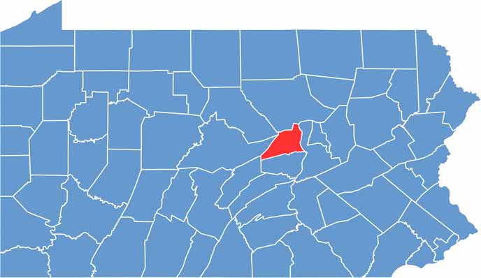

Location map of Union County, Pennsylvania
CategoryDetails
County NameUnion County
County SeatLewisburg
EtymologyNamed after the federal Union of the United States
Cities, Towns, and CommunitiesLewisburg, Mifflinburg, New Berlin, Hartleton
Interstates and HighwaysU.S. Highway 15, State Highway 45, State Highway 192
FIPS Code42-119
Total Area (Land and Water)318 square miles (316 sq mi land, 2 sq mi water)
Adjacent Counties (and Direction)Lycoming County (North), Northumberland County (East), Snyder County (South), Mifflin County (Southwest), Centre County (West), Clinton County (Northwest)
Time ZoneEastern Time Zone (EST)
StatePennsylvania
Coordinates40°58’N, 77°03’W
Major LandmarksBucknell University, Raymond B. Winter State Park, Mifflinburg Buggy Museum
PopulationApproximately 45,000
Scroll to Top