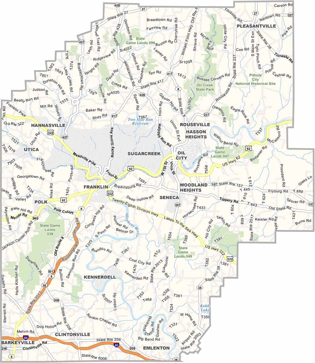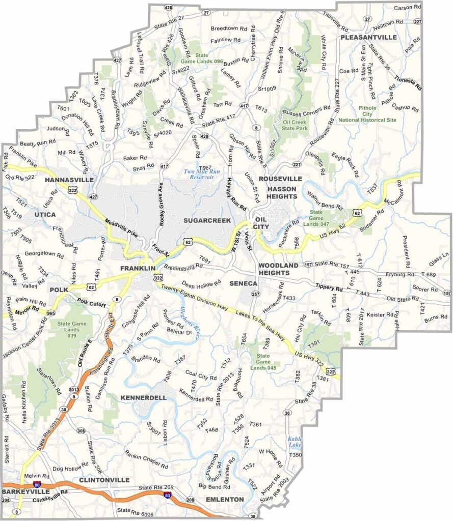
Venango County Map, Pennsylvania

Venango County, Pennsylvania

Venango County put itself on the map with oil. The world's first commercial oil well was drilled here in 1859, in the northwest part of Pennsylvania.

Today the county is a mix of small towns and countryside. Oil City has some striking old buildings, while Franklin serves as the county seat.

Winters can be tough, but locals make the most of them, and hiking trails crisscross the area. Fishing is also big, since the Allegheny River runs right through the county. It is not a bustling metropolis, and that is just what makes Venango County what it is.
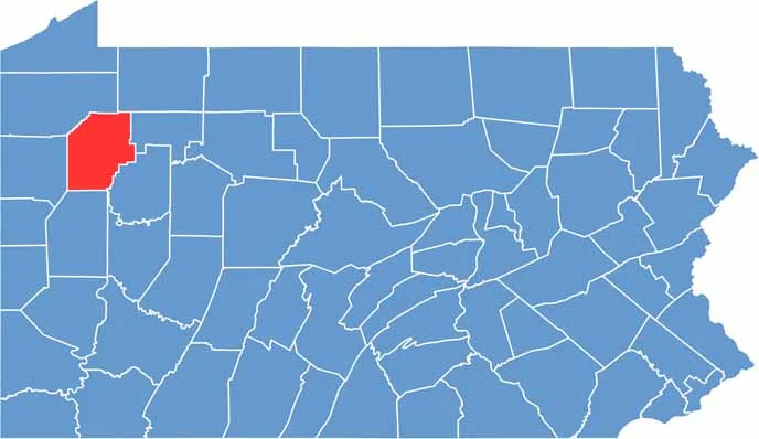

Location map of Venango County, Pennsylvania
CategoryDetails
County NameVenango County
County SeatFranklin
EtymologyNamed after an Iroquoian Indian word probably meaning “bull thistle”
Cities, Towns, and CommunitiesFranklin, Oil City, Sugarcreek, Polk, Seneca
Interstates and HighwaysU.S. Highway 62, U.S. Highway 322, State Highway 8
FIPS Code42-121
Total Area (Land and Water)683 square miles (674 sq mi land, 9 sq mi water)
Adjacent Counties (and Direction)Crawford County (Northwest), Warren County (North), Forest County (Northeast), Clarion County (East), Butler County (South), Mercer County (West)
Time ZoneEastern Time Zone (EST)
StatePennsylvania
Coordinates41°24’N, 79°43’W
Major LandmarksOil Creek State Park, Drake Well Museum, Two Mile Run County Park
PopulationApproximately 49,000
Scroll to Top