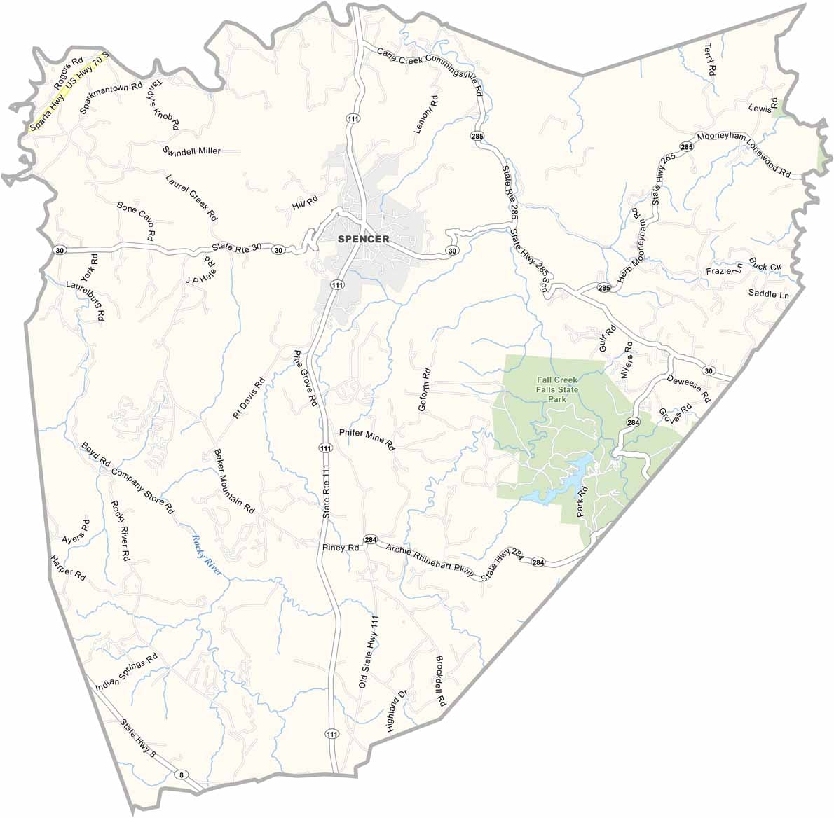
Van Buren County Map, Tennessee

Van Buren County, Tennessee

Van Buren County sits in the heart of Tennessee, along the eastern edge of the Cumberland Plateau. Fall Creek Falls State Park is the crown jewel, with impressive waterfalls and plenty of opportunities for rock climbing.

The Caney Fork River runs through the county, offering some excellent fishing spots. This is also bluegrass country, and you might even stumble upon an impromptu jam session on someone’s porch.

Spencer, the county seat, is about as quaint as they come and sits near the center of the county. Life moves at a slower pace here, in the best way possible. Folks value their peace and quiet.
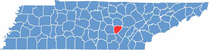
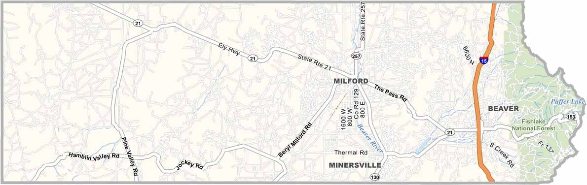
Van Buren County location map of Tennessee
CategoryDetails
County NameVan Buren County
County SeatSpencer
PopulationApproximately 6,000
Cities, Towns, and CommunitiesSpencer
Interstates and HighwaysState Highway 30, State Highway 111
FIPS Code47-175
Total Area (Land and Water)275 square miles (273 sq mi land, 2 sq mi water)
Adjacent Counties (and Direction)White County (North), Cumberland County (Northeast), Bledsoe County (East), Sequatchie County (South), Warren County (West)
Time ZoneCentral Time Zone (CST)
StateTennessee
Coordinates35°42’N, 85°29’W
EtymologyNamed after Martin Van Buren, the eighth President of the United States
Major LandmarksFall Creek Falls State Park, Cane Creek Falls, Van Buren County Historical Society
Scroll to Top