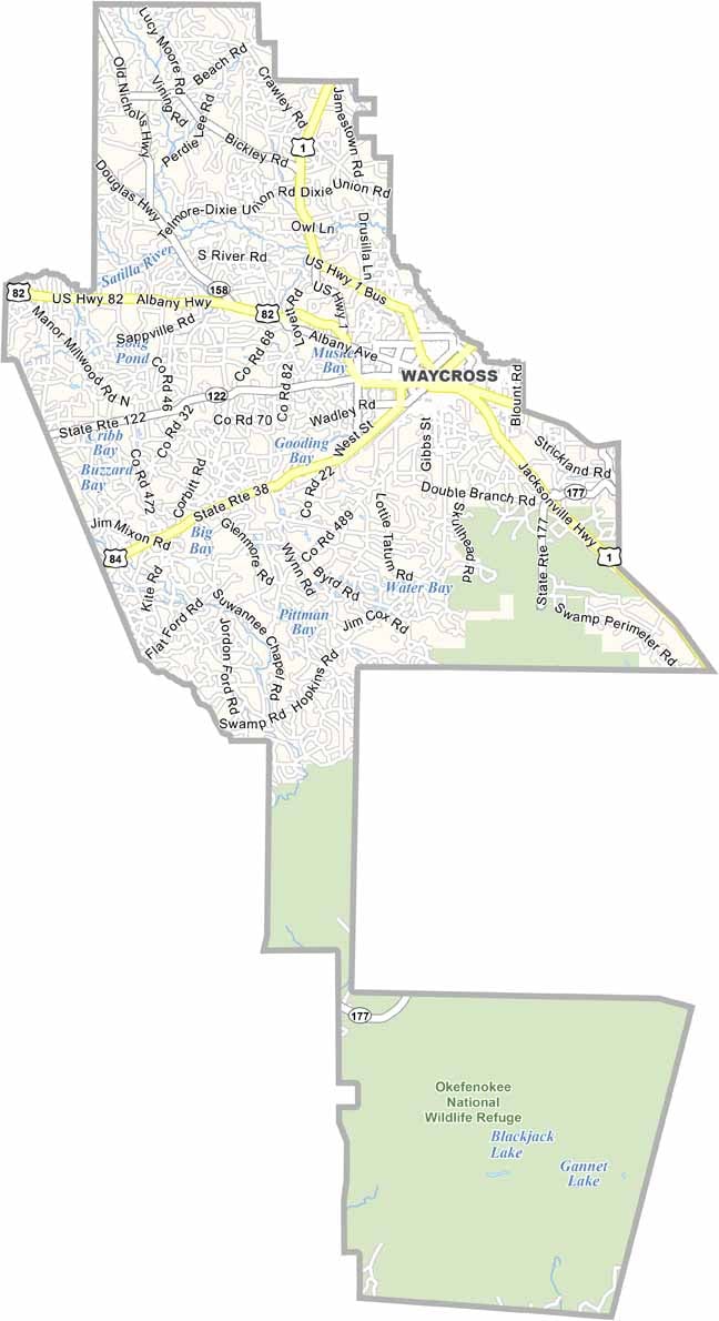
Ware County, Georgia

Ware County is the largest county in Georgia by land area and is located in the southeastern corner of the state. Much of the county is occupied by the Okefenokee Swamp, one of North America’s most remarkable wetlands, making it a premier destination for outdoor adventure and wildlife viewing.

Nature is at the heart of life in Ware County. The Okefenokee Swamp Park offers guided boat tours, wildlife exhibits, and opportunities to observe alligators, birds, and other native species. Nearby, Laura S. Walker State Park provides a quieter setting for camping, hiking, fishing, and golfing.

While tourism plays an important role, forestry and the timber industry remain the foundation of the local economy, with vast pine forests covering much of the county. Waycross, the county seat, is home to the historic Waycross City Auditorium, which hosts concerts, performances, and community events throughout the year.
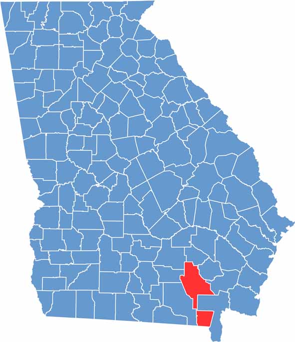

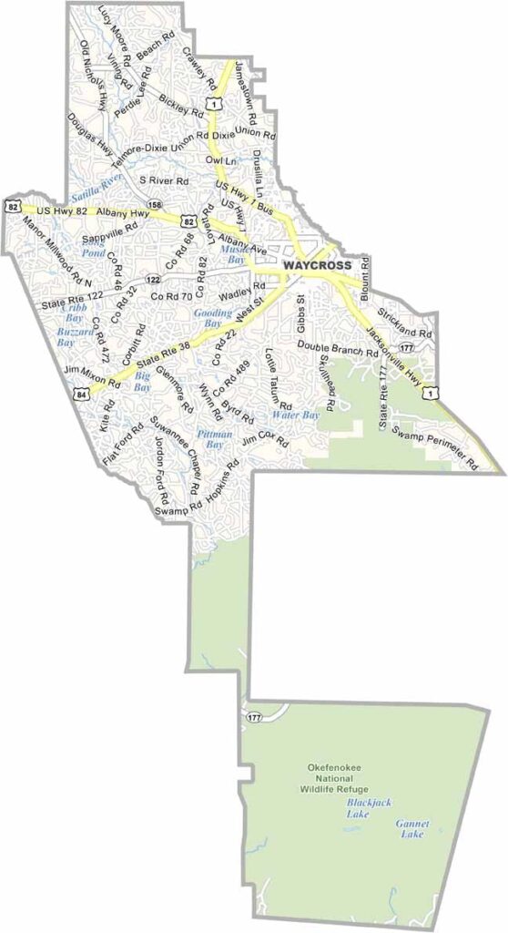
Ware Location Map showing towns, roads, and geographic features in Georgia.
Category Details
County Name Ware County
County Seat Waycross
Cities, Towns, and Communities Waycross (county seat), Blackshear, and other smaller communities
Interstates and Highways Interstate 75, U.S. Route 1, U.S. Route 84, State Route 15
Etymology Named in honor of Nicholas Ware, a former U.S. Senator
FIPS Code 13-299
Total Area (Land and Water) 905 square miles (land: 899 sq mi, water: 6 sq mi)
Time Zone Eastern Time Zone (ET)
State Georgia
Coordinates 31.2112° N, 82.3504° W
Major Landmarks Okefenokee Swamp, Waycross Historic District, Laura S. Walker State Park
Adjacent Counties (and Direction) Bacon County (North), Pierce County (East), Brantley County (East), Charlton County (Southeast), Baker County, Florida (South), Clinch County (West), Atkinson County (West), Coffee County (Northwest)
Population Approximately 34,000
Scroll to Top