
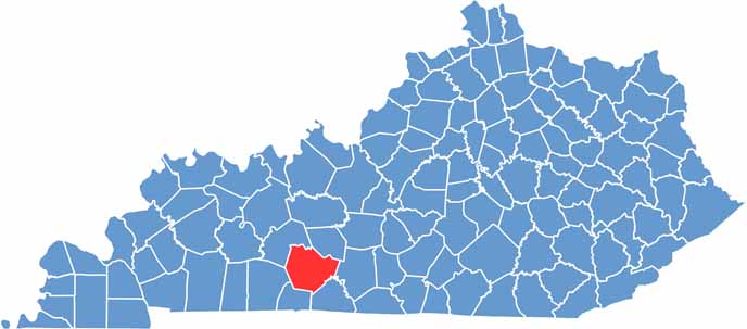
Warren County is located in south-central Kentucky and is home to Bowling Green and a little car company called Corvette. Maybe you’ve heard of it?
Bowling Green serves as the county seat. It has the feel of a big city with a small-town heart. The county is also home to a huge cave system, Lost River Cave, if you’re into underground adventures.
There’s also a cool aviation museum for anyone who loves planes. Just don’t try racing your rental car against a Corvette. You’ll lose, and the locals will never let you forget it.
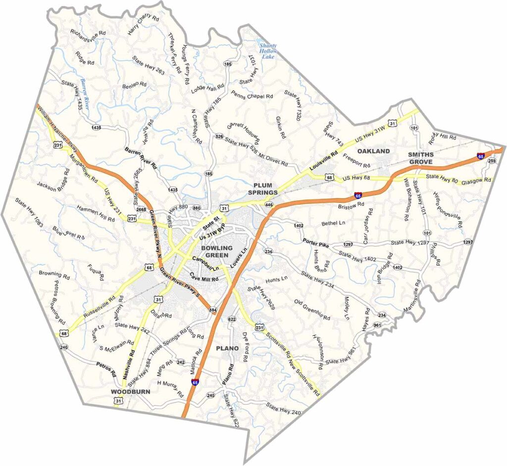
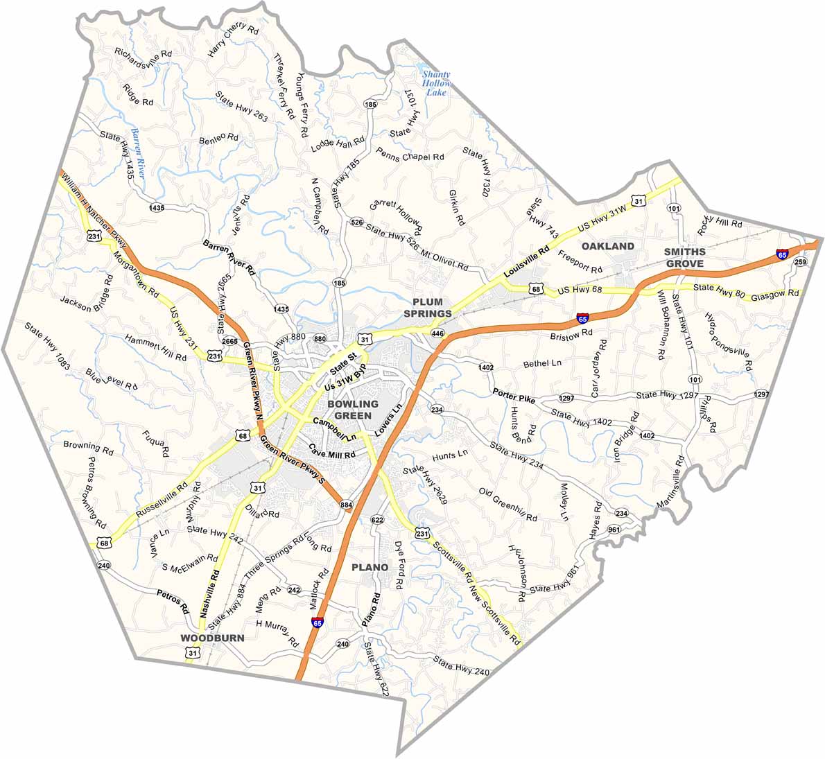
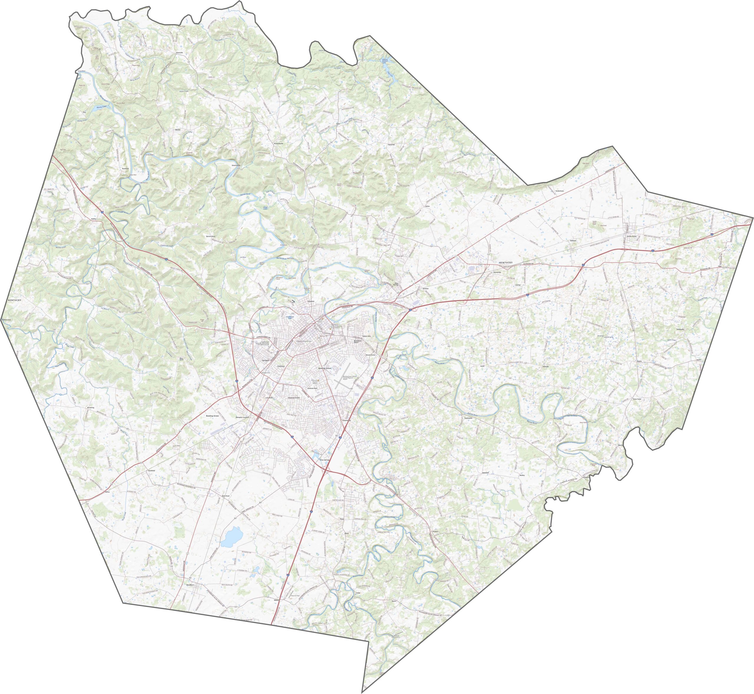
Warren County’s roads balance fast interstates with quiet backroads. While I-65 carries travelers past Bowling Green, smaller routes such as US 31W and KY 185 wind through farmland and rolling hills. Check out our zoom tool with the road map below to explore all of the routes throughout the county.
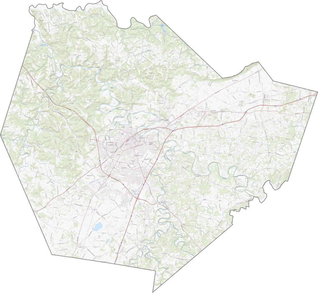
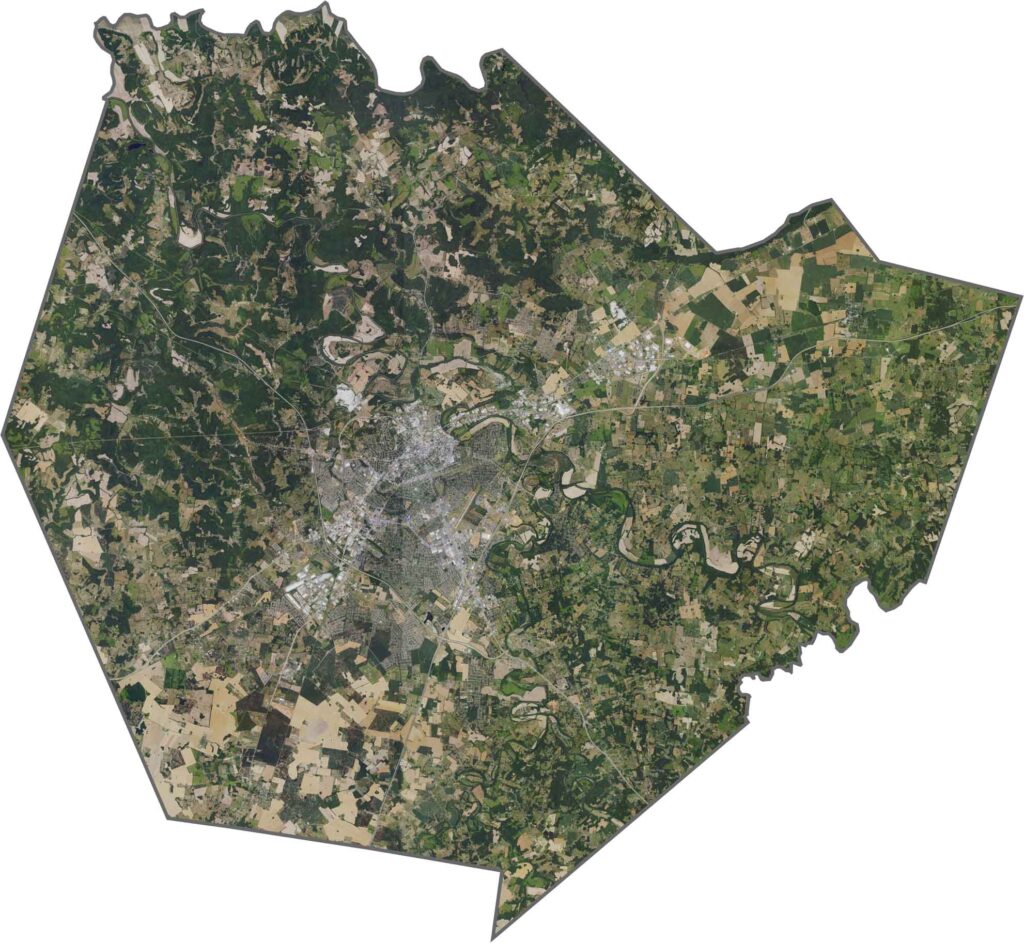
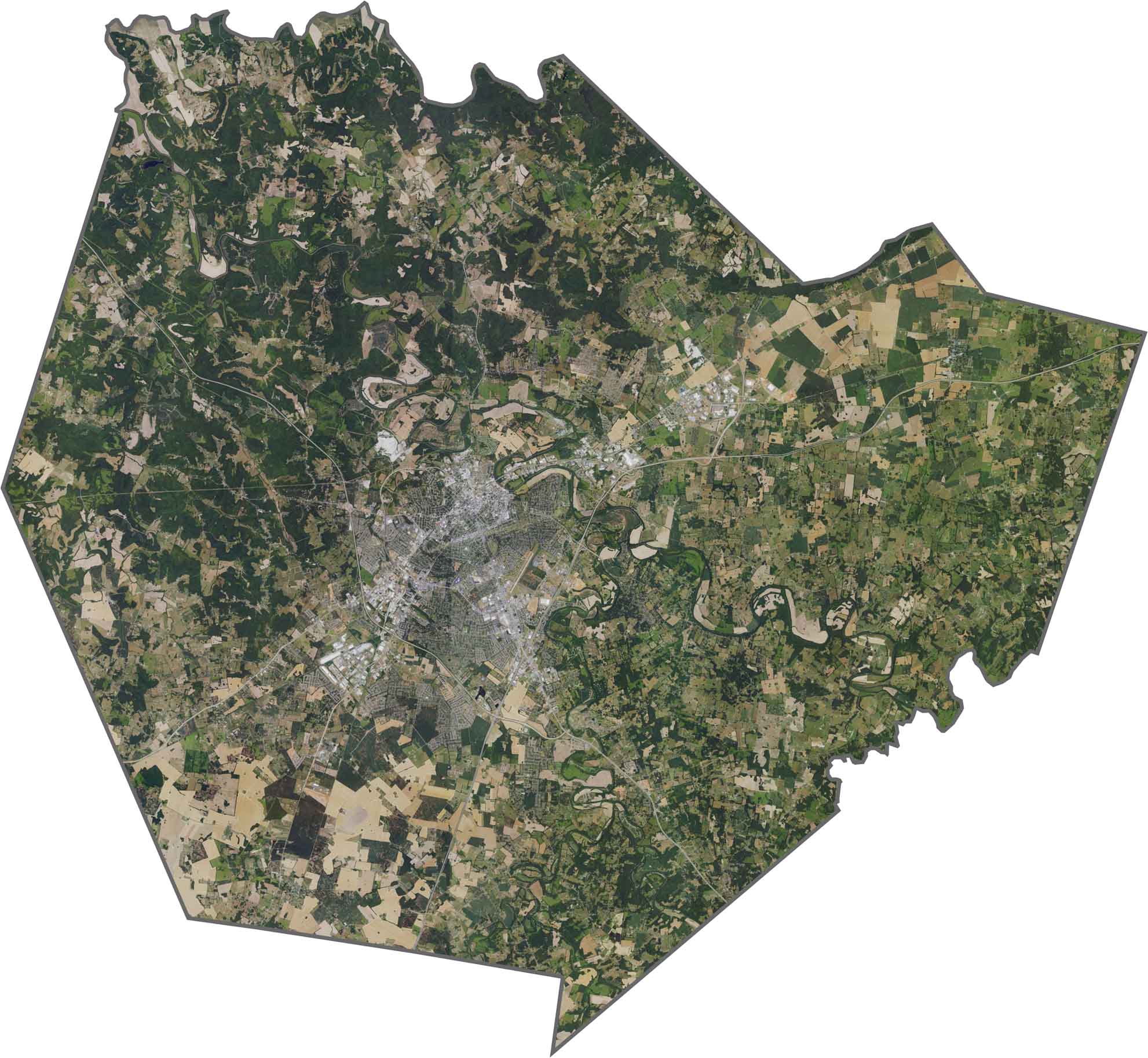
Bowling Green’s urban development is concentrated in the heart of Warren County, while farm fields cover much of the surrounding countryside. The Barren River winds through the northern part of the county, just north of Bowling Green, creating a prominent natural feature in the landscape.
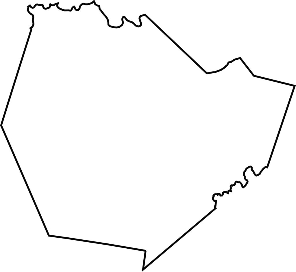
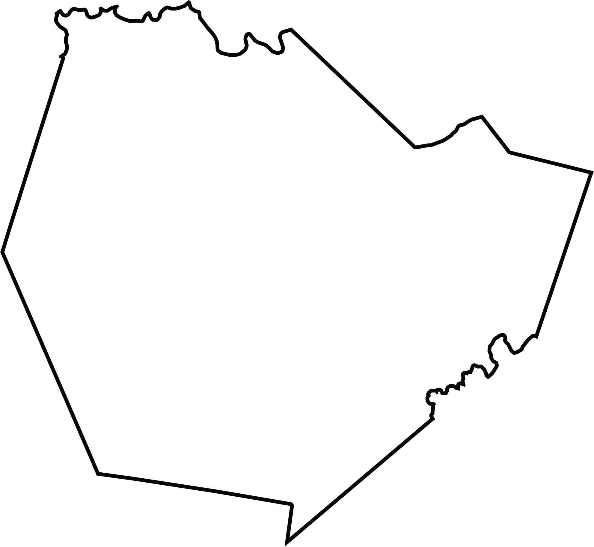
Warren County has a roughly circular shape with slight dips and irregularities along its boundaries. It borders Allen County, Barren County, and Simpson County, and sits firmly in south-central Kentucky.
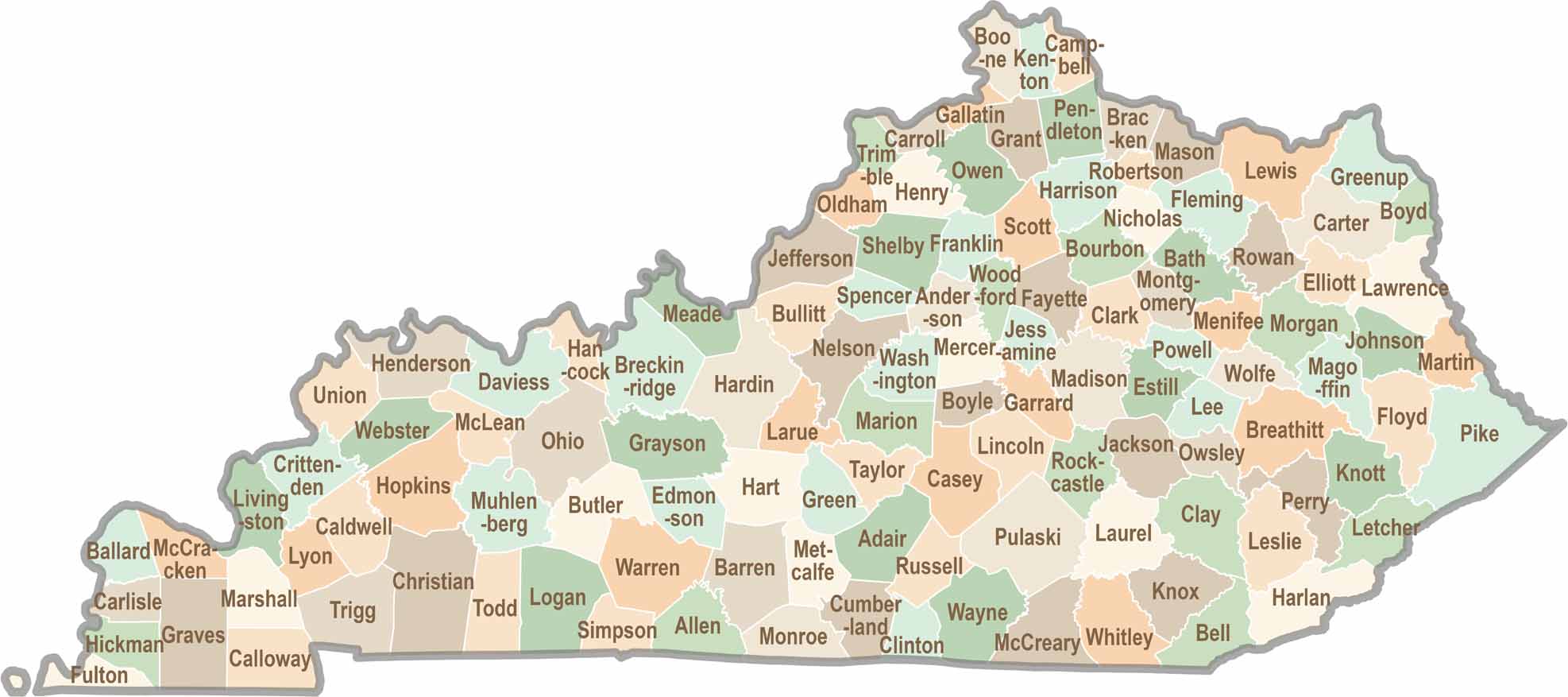
Kentucky isn’t just about bluegrass and bourbon. It’s a state where towering forests, rolling landscapes, and rich local stories come together. Explore the state in greater detail and find your way with one of our Kentucky County Map