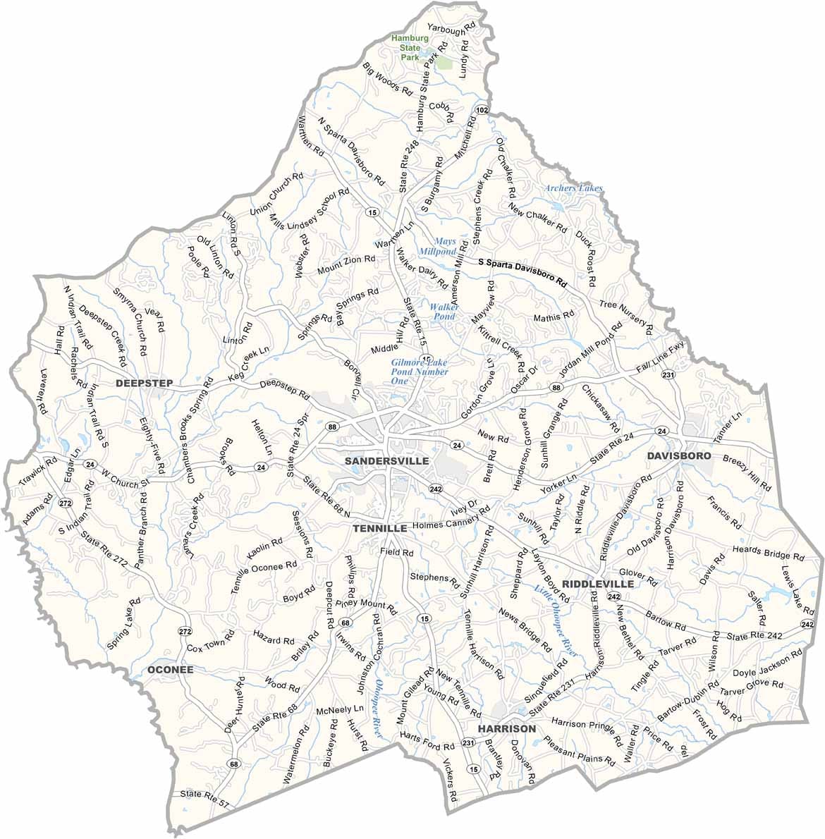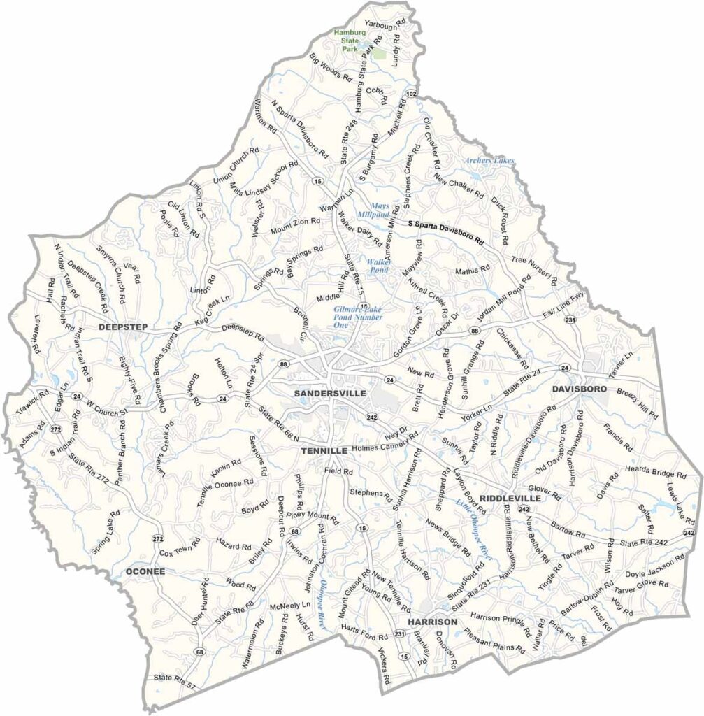
Washington County, Georgia

Washington County is located in central Georgia, roughly halfway between Atlanta and Savannah. Sandersville, the county seat, serves as the county’s commercial and cultural center. Known for its hardworking communities, the county has a rich history that dates back to Georgia’s earliest years.

Named in honor of George Washington, the county played a role during the Civil War when General William T. Sherman’s troops passed through the area. Today, Washington County is recognized as one of Georgia’s leading centers for kaolin mining, an industry that has long been the backbone of the local economy.

The county’s forests attract hunters each fall, while the Sandersville Railroad continues to support local industries. Every year, the Kaolin Festival celebrates the county’s mining heritage with parades, entertainment, and community events, highlighting the traditions and resilience that define Washington County.
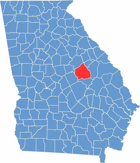

Washington Location Map showing towns, roads, and geographic features in Georgia.
Category Details
County Name Washington County
County Seat Sandersville
Cities, Towns, and Communities Sandersville (county seat), Davisboro, Oconee, and other smaller communities
Interstates and Highways U.S. Route 15, U.S. Route 231, State Route 24, State Route 88
Etymology Named in honor of George Washington, the first President of the United States
FIPS Code 13-303
Total Area (Land and Water) 865 square miles (land: 860 sq mi, water: 5 sq mi)
Time Zone Eastern Time Zone (ET)
State Georgia
Coordinates 32.9751° N, 82.9795° W
Major Landmarks Sandersville Historic District, Washington County Courthouse
Adjacent Counties (and Direction) Glascock County (Northeast), Jefferson County (East), Johnson County (South), Wilkinson County (Southwest), Baldwin County (West), Hancock County (Northwest)
Population Approximately 21,000
Scroll to Top