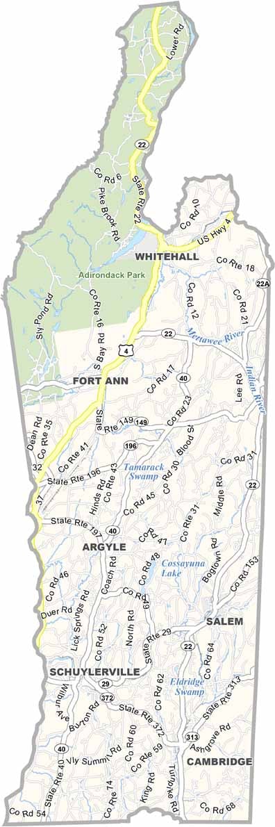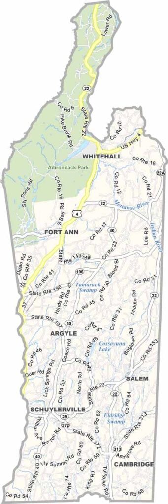
Washington County Map, New York

Washington County, New York

Washington County sits at the eastern edge of New York, bordering Vermont, with the Hudson River flowing along its western side. Farms fill the area, set among rolling hills and lush valleys.

You'll love the hiking trails and fishing spots, and the locals are friendly, with a strong sense of community. It's not flashy, but it's got heart.

This county played a significant role in the American Revolution, and you can still visit old forts and battlefields today. It's a hidden gem in the Empire State.
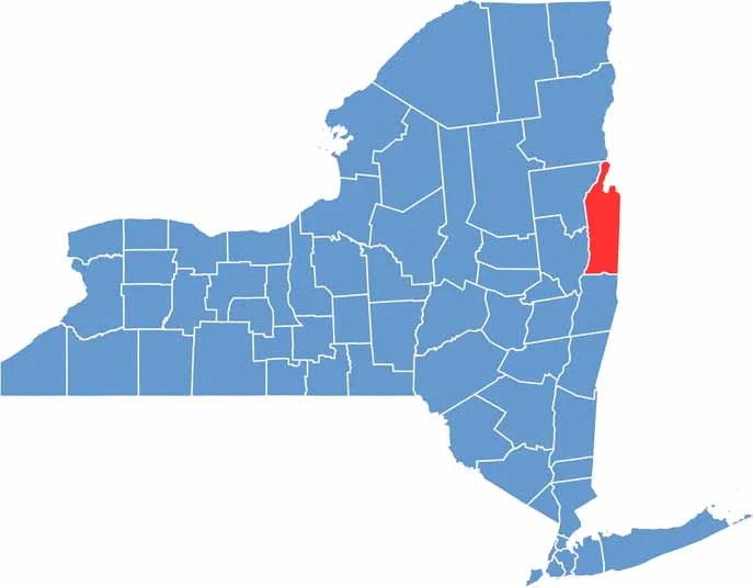

Washington County location map of New York
CategoryDetails
County NameWashington County
County SeatFort Edward
EtymologyNamed after George Washington, the first President of the United States
Cities, Towns, and CommunitiesFort Edward, Greenwich, Hudson Falls, Whitehall, Salem
Interstates and HighwaysInterstate 87, U.S. Route 4, New York State Route 22, New York State Route 29
FIPS Code36-115
Total Area (Land and Water)844 square miles (796 sq mi land, 48 sq mi water)
Adjacent Counties (and Direction)Essex County (North), Addison County, Vermont (Northeast), Rutland County, Vermont (East), Bennington County, Vermont (Southeast), Rensselaer County (South), Saratoga County (Southwest), Warren County (West)
Time ZoneEastern Time Zone (ET)
StateNew York
Coordinates43.2605° N, 73.5777° W
Major LandmarksLake George Village, Saratoga National Historical Park, Hubbard Hall
PopulationApproximately 63,000
Scroll to Top