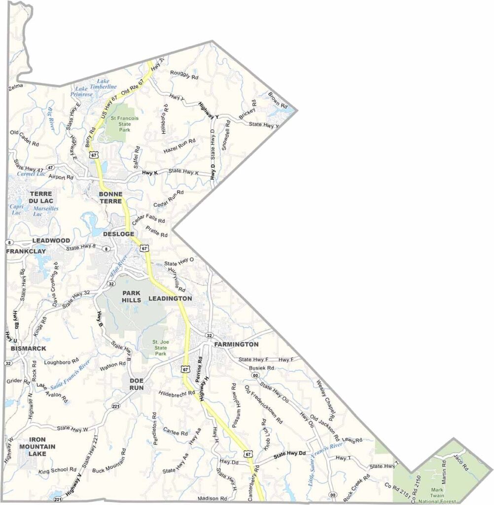
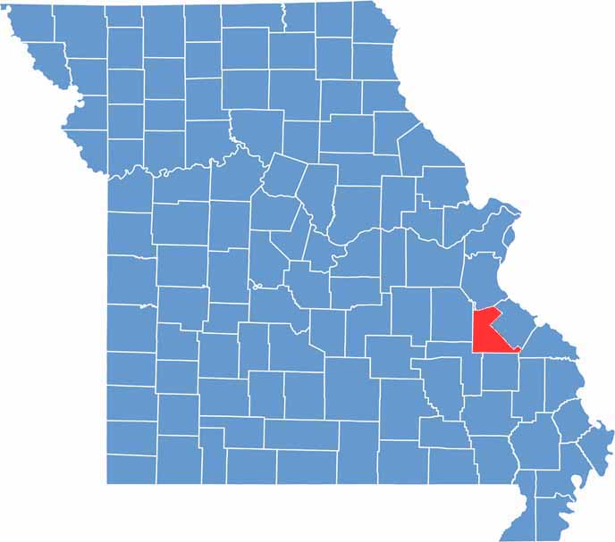
Located in southeastern Missouri, St. Francois County sits in the heart of the historic Lead Belt region, approximately an hour south of St. Louis. The county combines a rich industrial heritage with scenic landscapes and abundant outdoor recreation opportunities.
Farmington, the county seat and largest city, serves as the region’s commercial and cultural center. Its vibrant downtown, local shops, and community attractions make it a popular destination for both residents and visitors.
Beyond its historical significance, St. Francois County is surrounded by natural beauty. Portions of the Mark Twain National Forest offer opportunities for hiking, camping, and wildlife viewing, while the nearby St. Francois Mountains provide scenic vistas and outdoor adventures for nature enthusiasts.

Wright County Map Missouri

Worth County Map Missouri
Wayne County Map Missouri
Warren County Map Missouri
Washington County Map Missouri
