
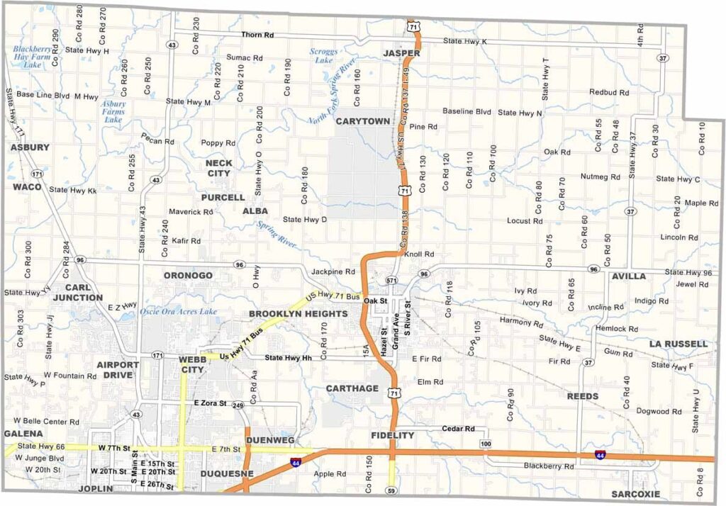
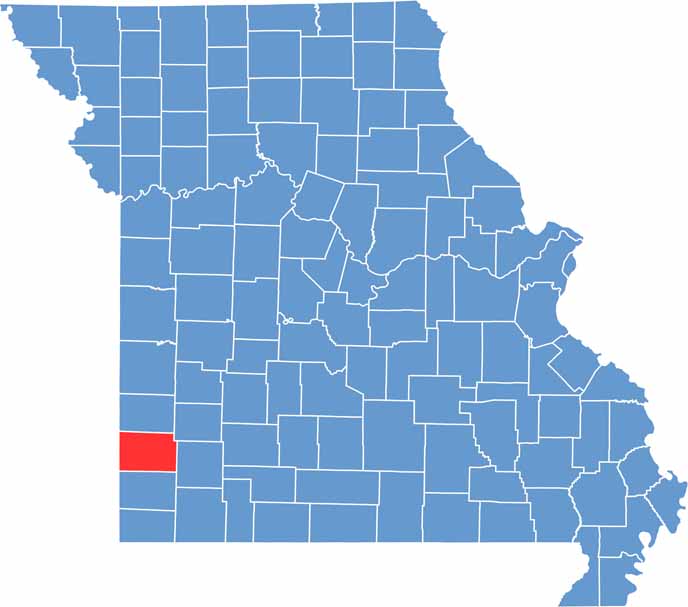
Jasper County sits in the southwest corner, right up against the state of Kansas. Carthage is the county seat, and it's home to some seriously impressive architecture. Outdoor lovers flock to the county's parks and lakes.
Joplin is Jasper County's claim to fame, and the best place to start is the Joplin Museum Complex, with exhibits on both local mining and the outlaws Bonnie and Clyde.
The area's history is closely tied to lead and zinc mining, which left behind a legacy you can still see today. But it's not all about the past. The people here are resilient, having rebuilt after a devastating tornado in 2011.
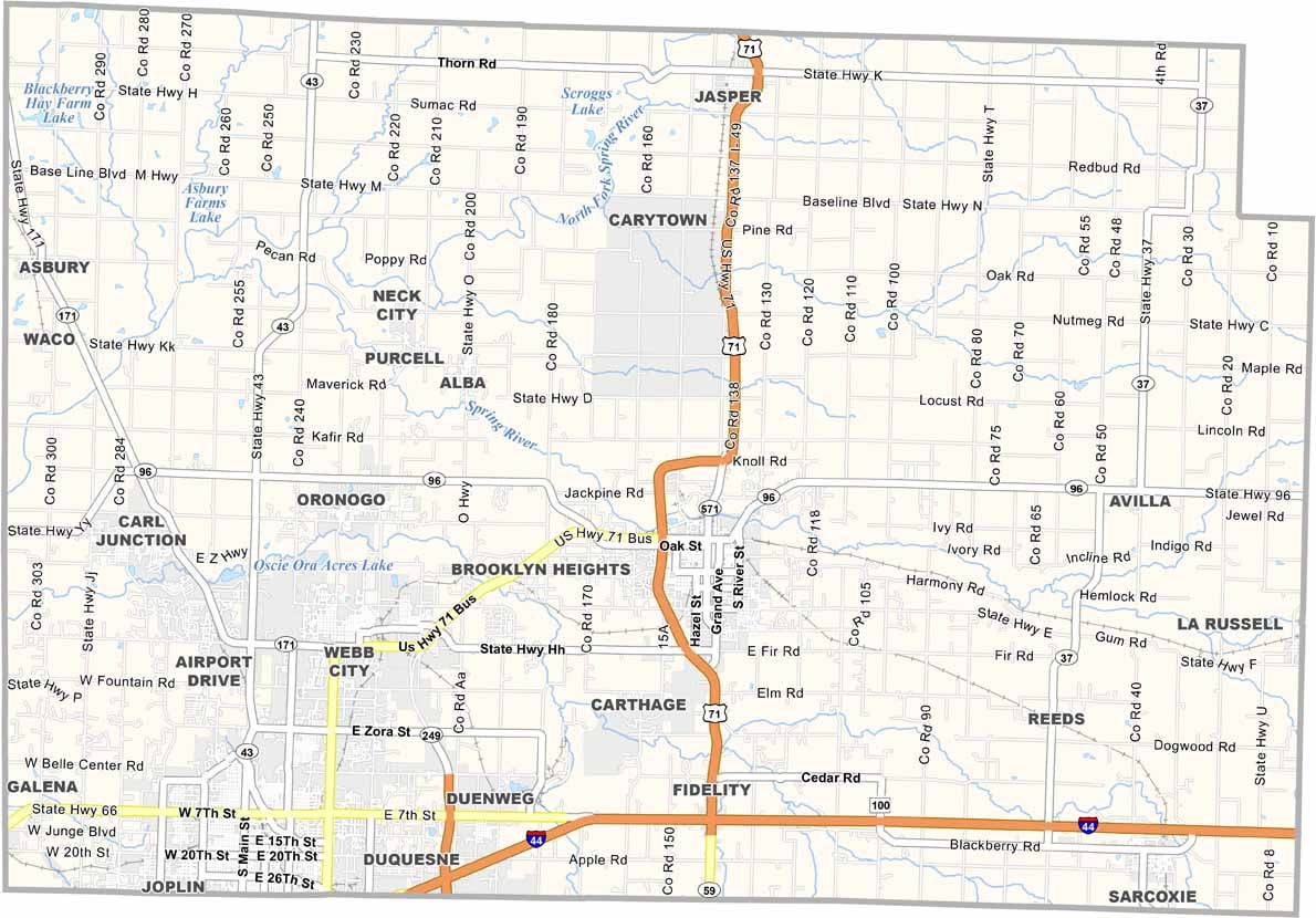
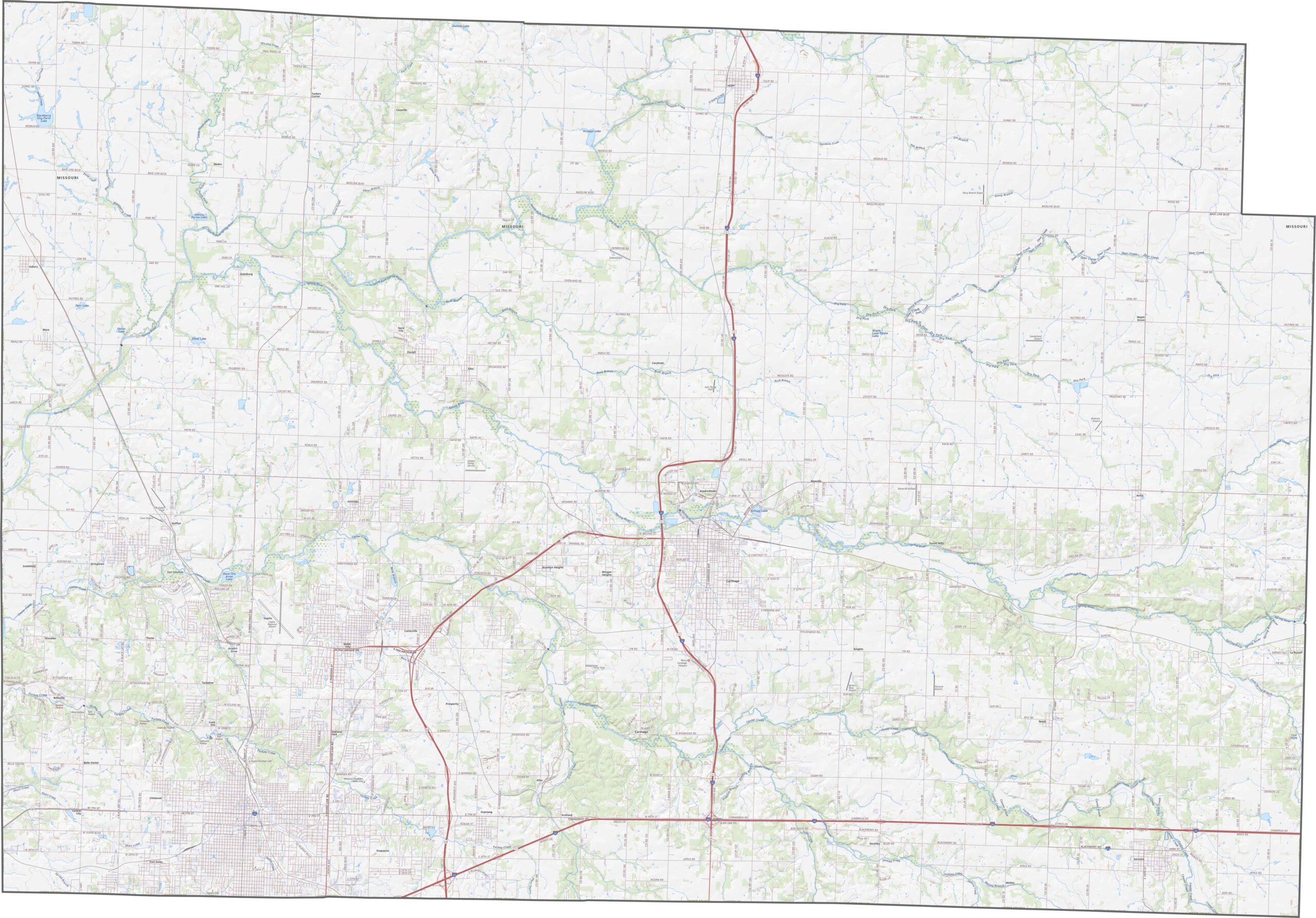
Jasper County is well connected by routes like Interstate 44, U.S. Route 71, and Route 96. Need more road detail? Our road map and zoom tool below can take you right down to the crossroads.
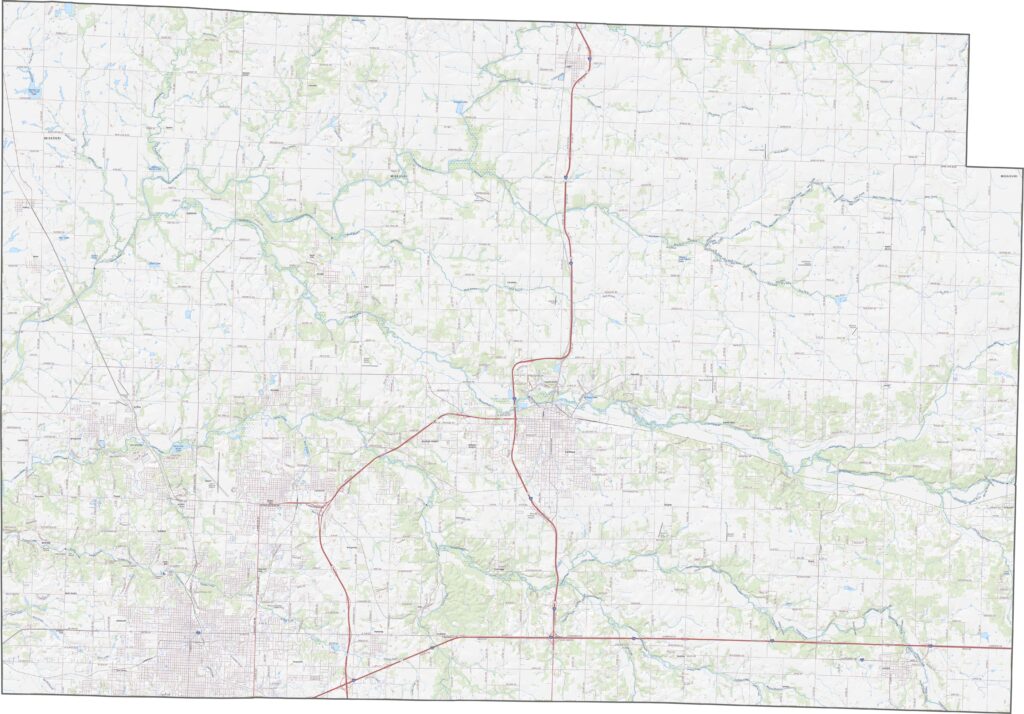
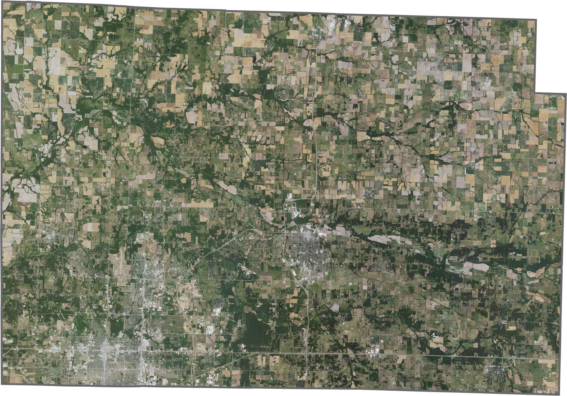
Viewed from above, Jasper County looks like a checkerboard of fields and cityscapes. Joplin stands out immediately in the south. Although much of the area is agricultural, major roads draw straight lines across the county.
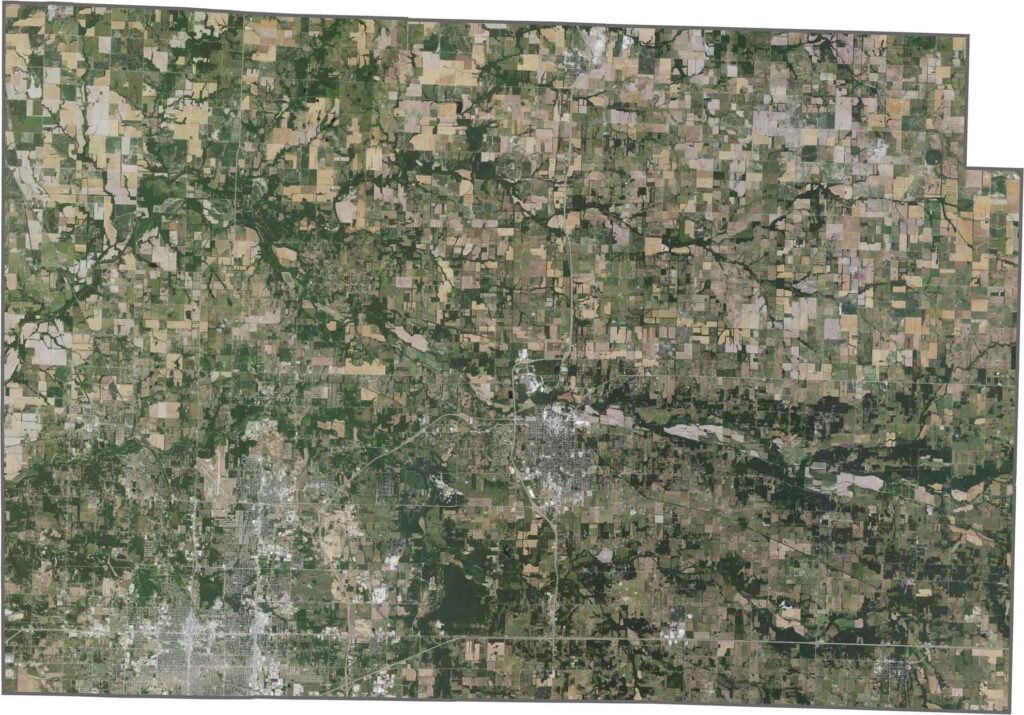
Jasper County has a fairly blocky outline with a few bumps along its edges. No rivers form its borders, but it does share its western boundary with the state of Kansas.

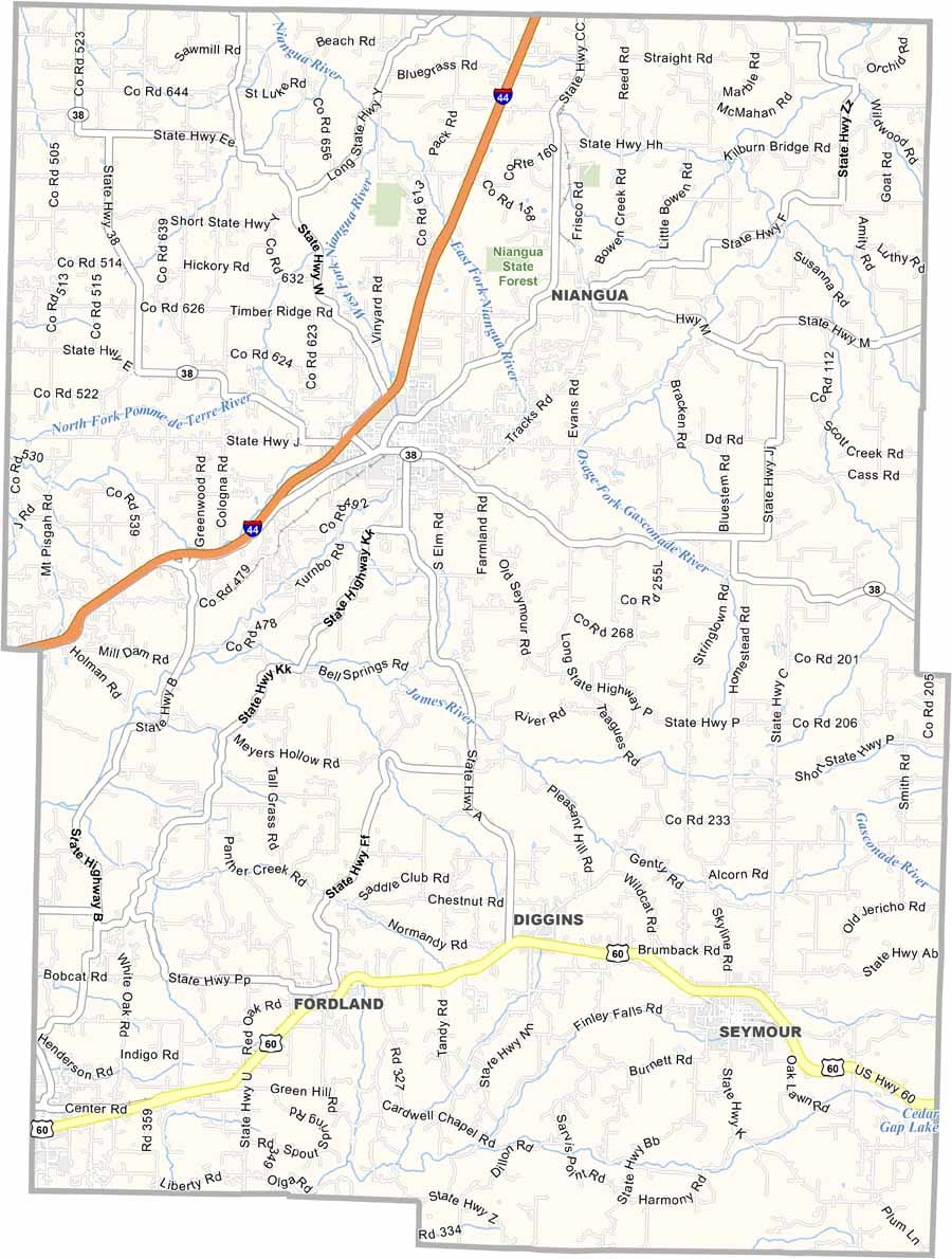
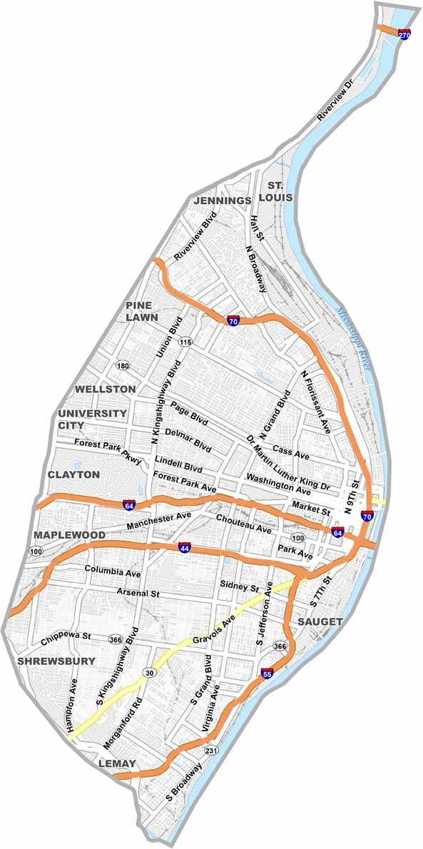
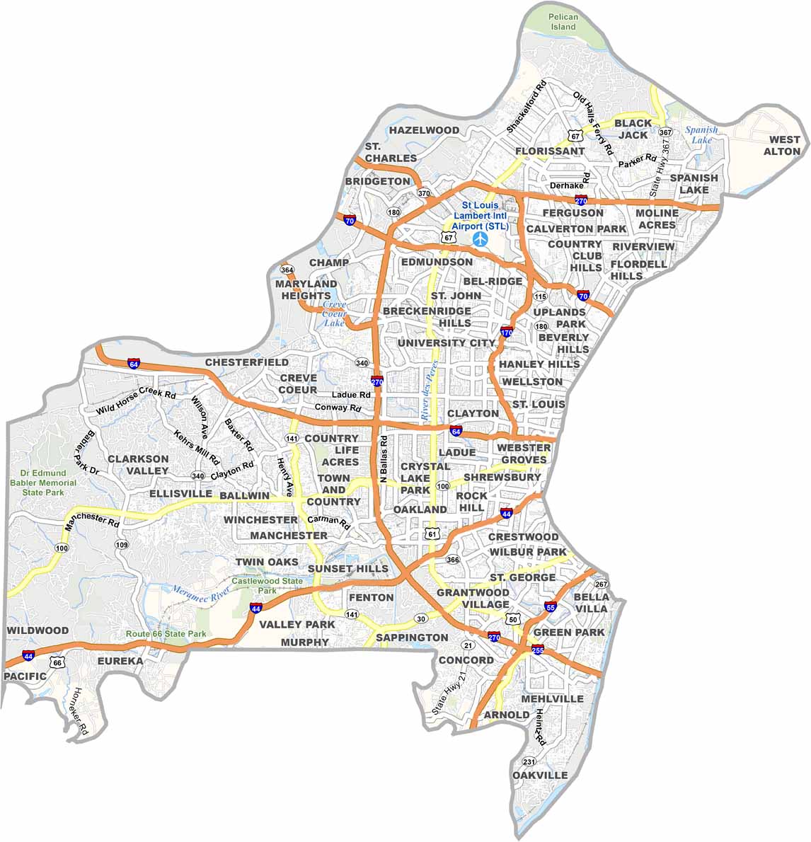
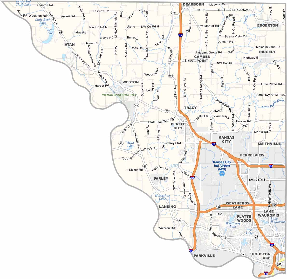


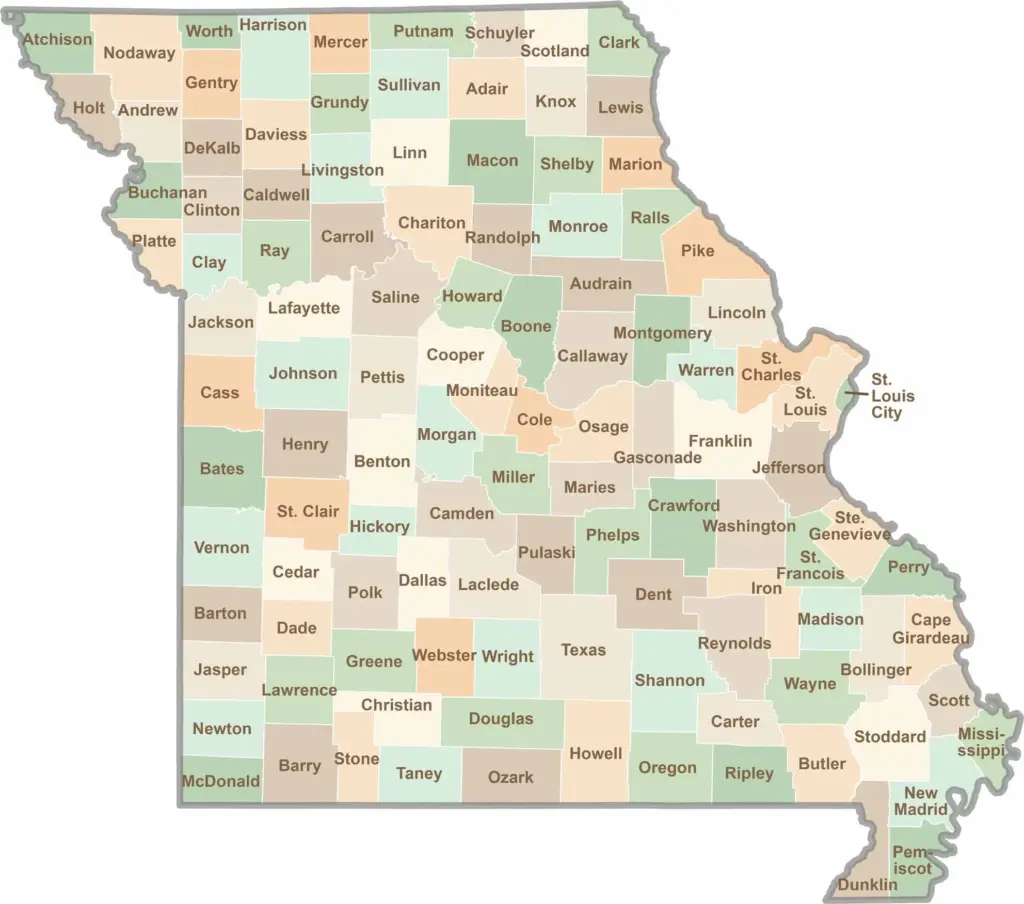
Discover the Show-Me State with our collection of all 114 county maps, your guide to smoky BBQ, Ozark trails, and sunsets over the mighty Mississippi River. From St. Louis to Branson, Missouri has something waiting around every bend in the road.