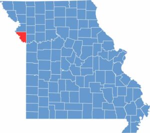
Platte County sits in the northwestern corner of Missouri, just north of Kansas City, offering a mix of urban areas, growing suburbs, and open farmland. The Missouri River runs through the county, adding to its scenic landscape and character.
The area is rich in history, with Lewis and Clark passing through the region during their famous expedition. Today, Platte County continues to grow, attracting residents with its excellent schools, convenient shopping, and welcoming communities.
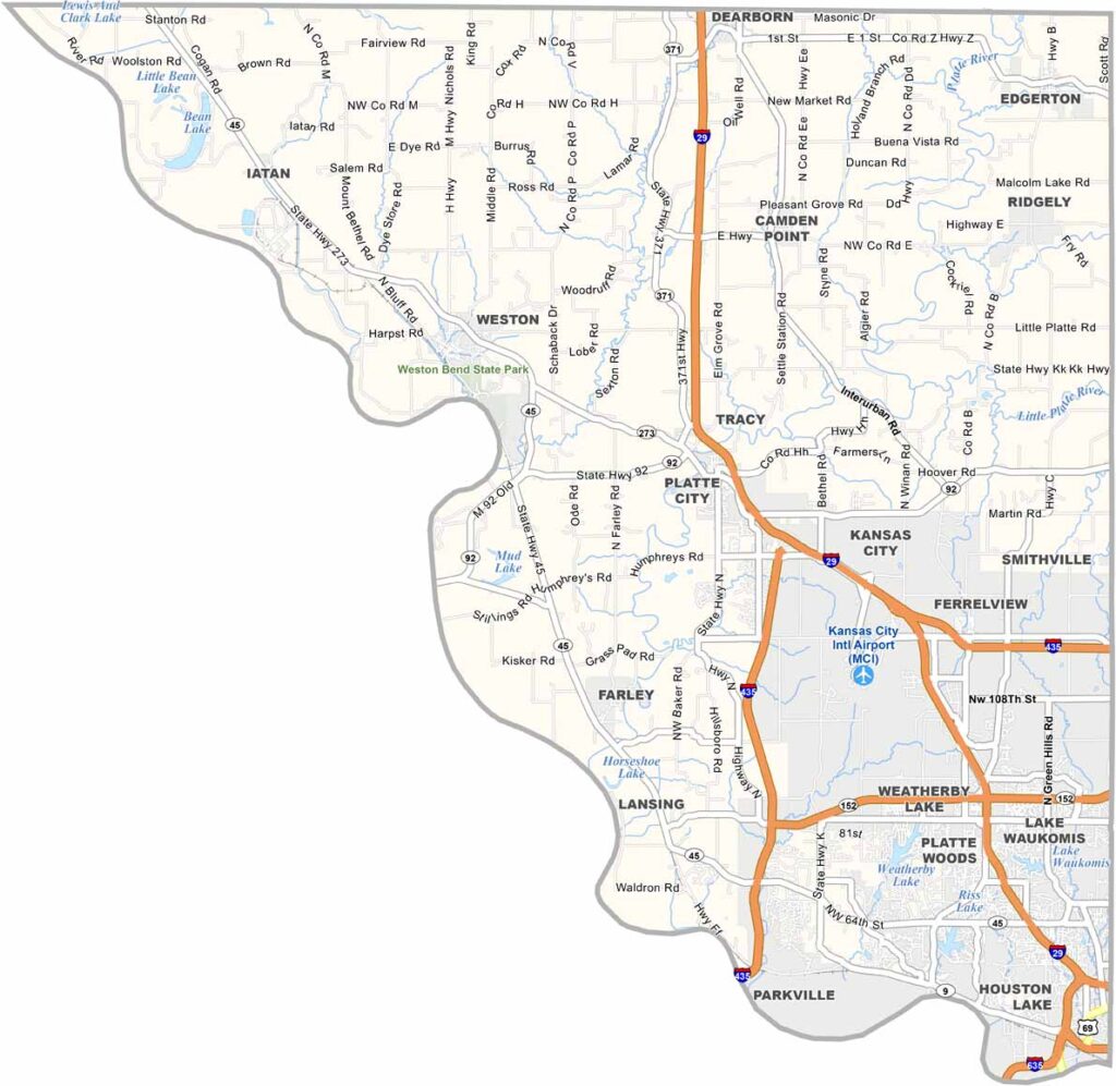
Popular destinations include Zona Rosa, a favorite spot for shopping and dining, while outdoor enthusiasts can explore Weston Bend State Park, known for its hiking trails and fishing opportunities. The county is also home to Kansas City International Airport, providing convenient access for both residents and visitors.
Platte County may be small, but its highways play a major role in connecting the region. Interstate 29 runs north to south, while Interstate 435 crosses the southern part of the county. Despite these major routes, the northern areas quickly become quieter and more rural. While the southern half is busier and more developed, the north maintains a slower, more peaceful pace. Use our zoom tool below to explore the county's road network and surroundings.
From above, Platte County reveals a mix of urban development, suburban neighborhoods, and open farmland. Kansas City International Airport stands out as one of the most prominent features, its expansive layout contrasting with the surrounding green and brown landscape. While the southern portion of the county is more developed, the northern areas remain largely covered by fields, forests, and open spaces.
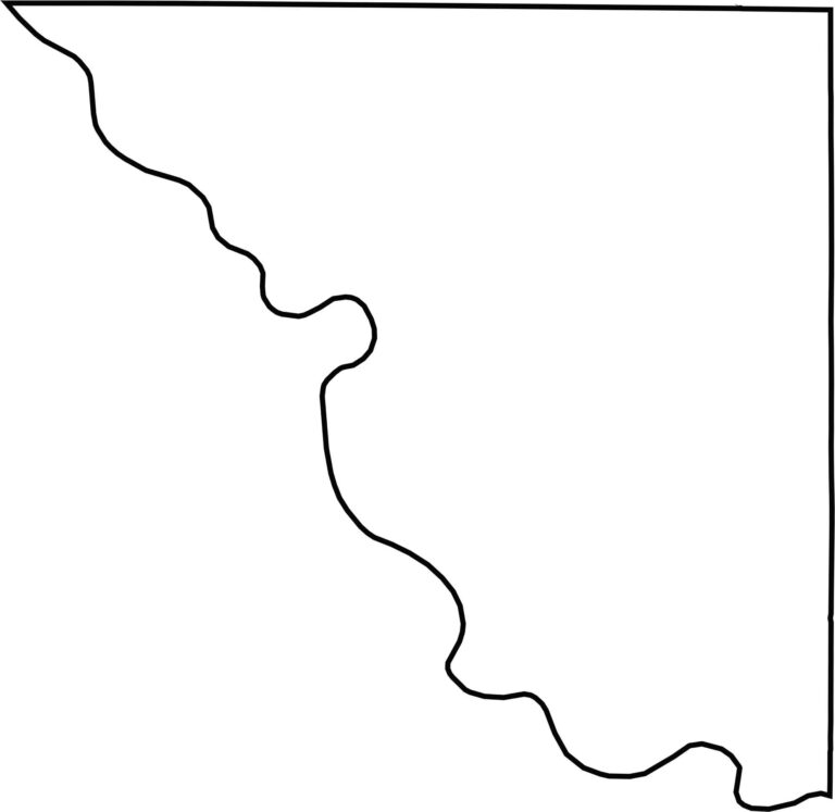
Platte County is shaped by the Missouri River, which forms much of its western and southern boundaries. While the river creates naturally curved borders along these edges, the county's northern and eastern boundaries follow mostly straight lines. Across the river to the west lies the state of Kansas.