

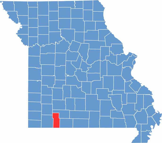
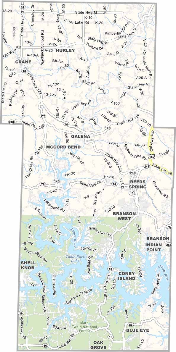
Located in the heart of the Ozark Mountains in southwestern Missouri, Stone County is a scenic destination known for its natural beauty and outdoor recreation. Bordering Arkansas, the county offers breathtaking landscapes that attract visitors seeking relaxation and adventure alike.
At the center of the area’s appeal is Table Rock Lake, one of Missouri’s premier recreational destinations. The lake is a popular spot for fishing, boating, swimming, and other water activities, drawing outdoor enthusiasts throughout the year.
Stone County is also rich in history and small-town charm. Communities such as Kimberling City and Galena showcase the region’s heritage and welcoming atmosphere, while Branson West serves as a lively gateway to local attractions, offering entertainment, dining, and convenient access to the surrounding Ozark scenery.
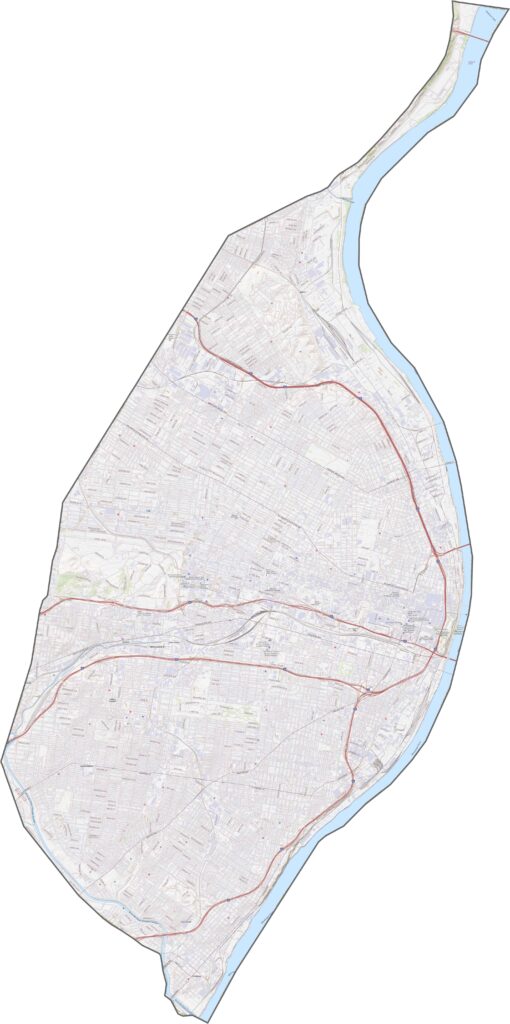
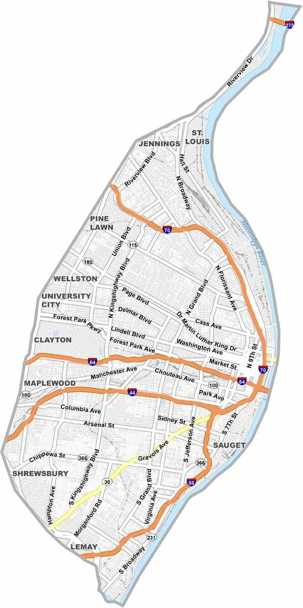
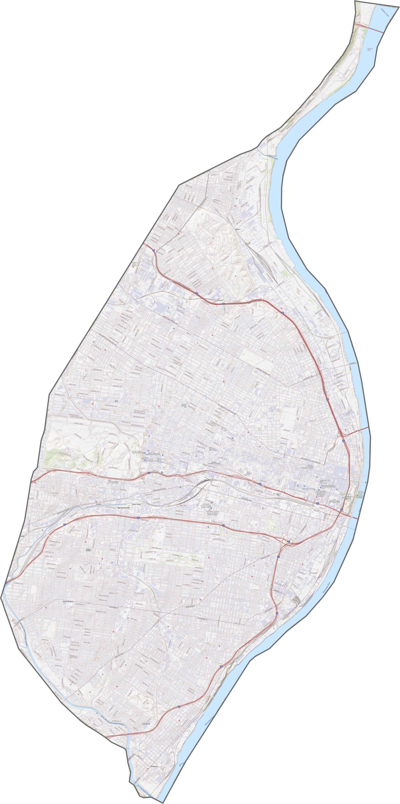
St. Louis City is the busiest city in all of Missouri. I-70 slices across the north and feeds straight into downtown, while I-44 and I-64 roar through the center. Zoom in on our road map below to plot your route through the heart of the city.
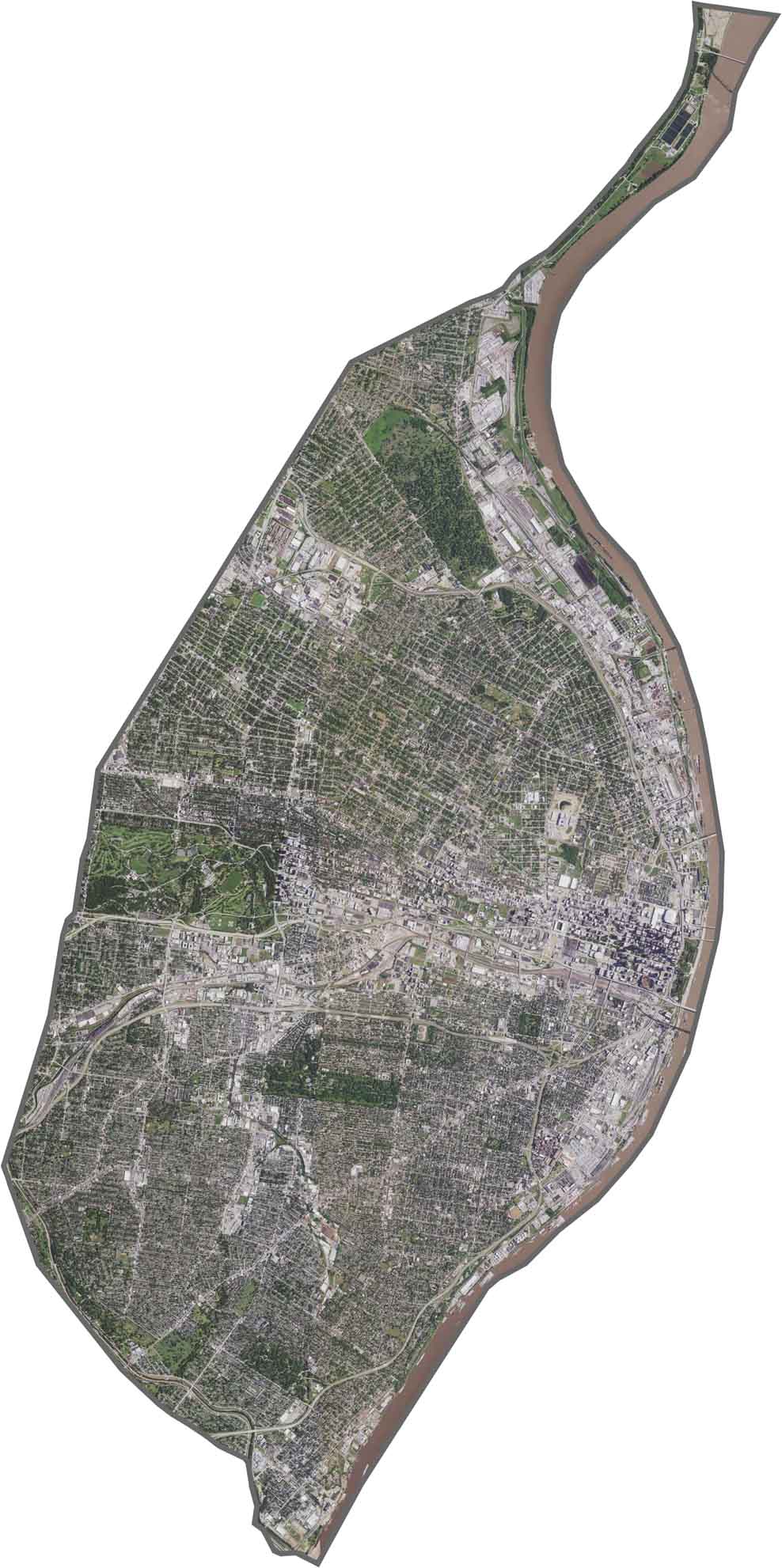
From above, St. Louis is a mix of concrete, buildings, and green space. Downtown stands out first, and although it's tough to spot, the Gateway Arch gleams right along the river. Parks like Forest Park and Tower Grove Park punch big green holes in the urban landscape.
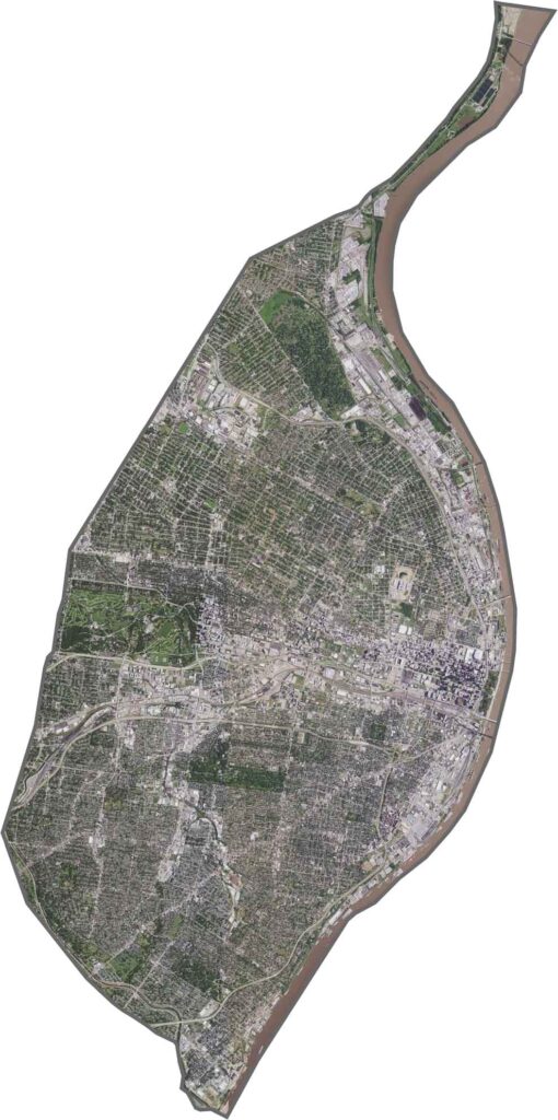
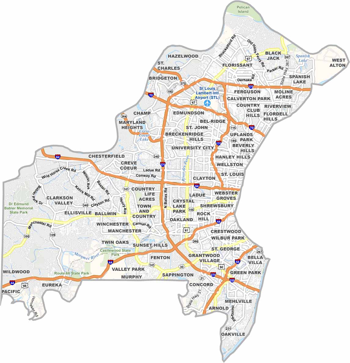
St. Louis City is boxed in tight, and it knows it. The Mississippi River locks in the east side, curving like a giant wall. Although the city borders St. Louis County on every other side, it's very much its own beast. Its shape resembles a misshapen wedge, pointing eastward toward Illinois.

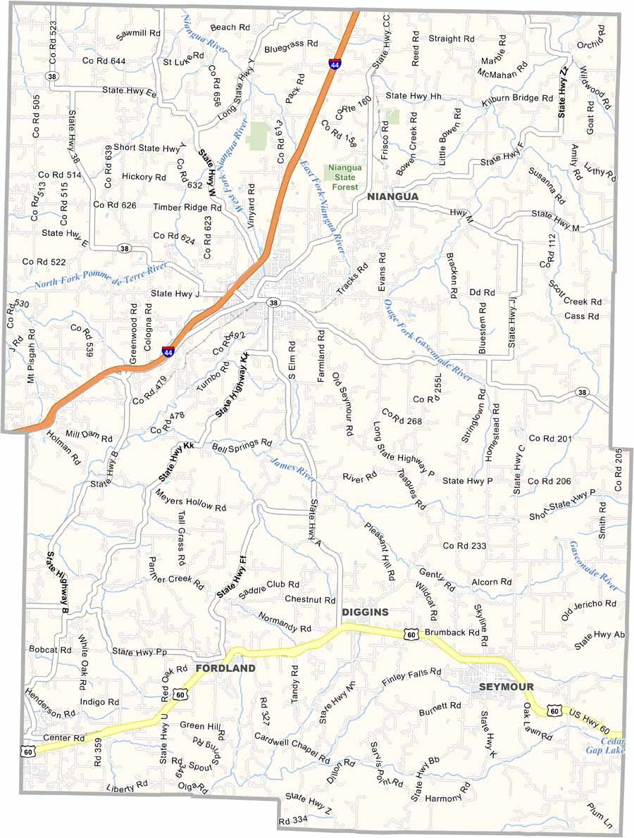

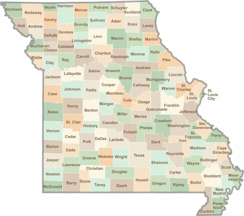
Discover the Show-Me State with our collection of all 114 county maps, your guide to smoky BBQ, Ozark trails, and sunsets over the mighty Mississippi River. From St. Louis to Branson, Missouri has something waiting around every bend in the road.