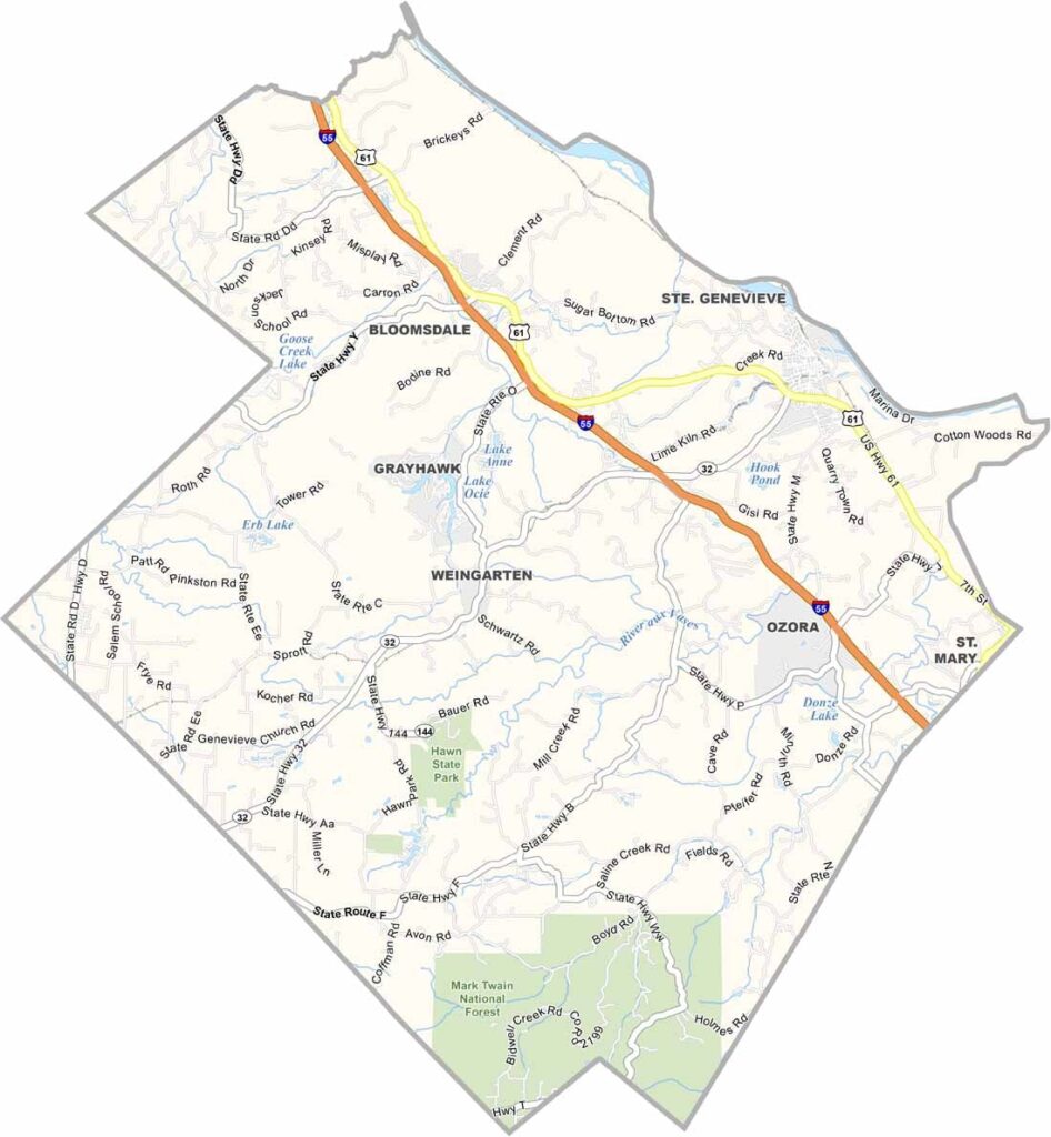
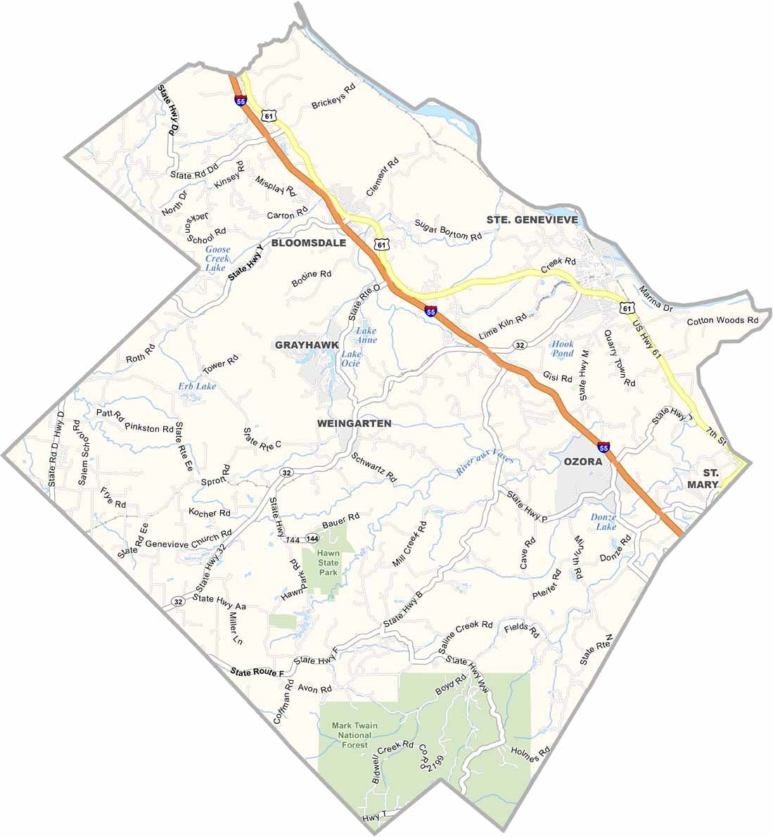
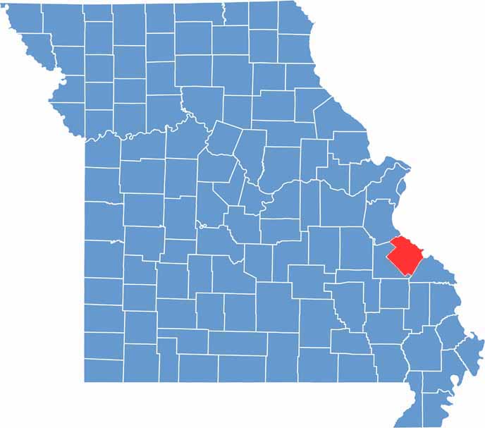
Located along the Mississippi River in eastern Missouri, Ste. Genevieve County is a destination rich in history, culture, and natural beauty. The county is especially known for its well-preserved French colonial heritage, with historic architecture that reflects its early European roots.
The county seat, Ste. Genevieve, holds a unique place in American history as the oldest permanent European settlement west of the Mississippi River. Visitors can explore its charming historic district, which offers a glimpse into the region’s colonial past.
In addition to its historical and natural attractions, the county is part of Missouri’s growing wine region. Rolling hills dotted with vineyards create a picturesque landscape, while local wineries offer visitors the opportunity to sample a variety of locally produced wines and enjoy the area's rural charm.

Wright County Map Missouri

Worth County Map Missouri
Wayne County Map Missouri
Warren County Map Missouri
Washington County Map Missouri
