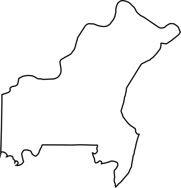
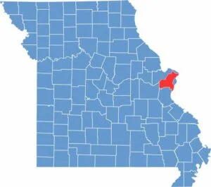
Located in eastern Missouri, St. Louis County surrounds the independent city of St. Louis in a horseshoe shape. The county is a vibrant suburban area known for its diverse communities and wide range of attractions.
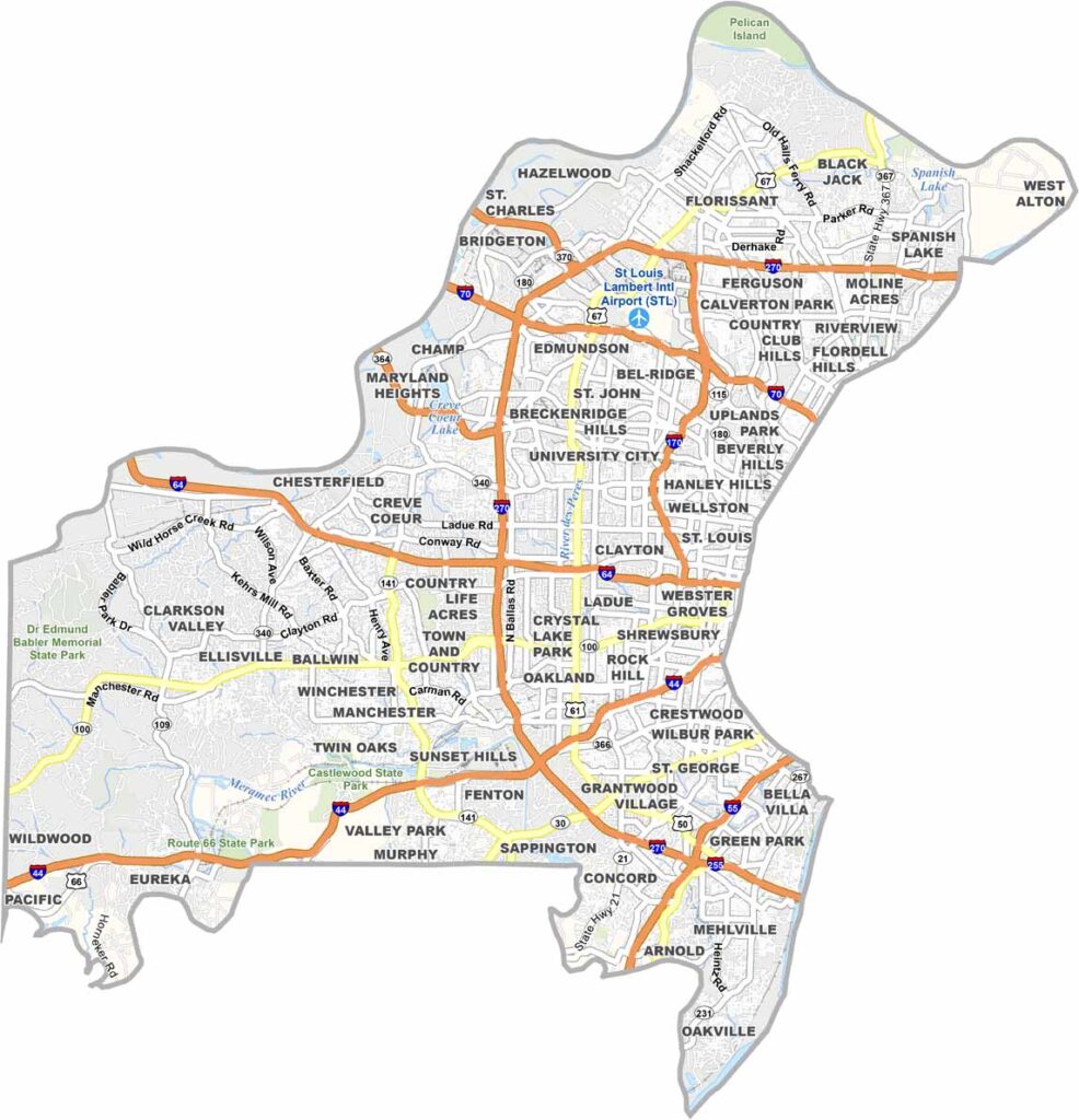
From Lambert International Airport to the scenic trails of Lone Elk Park, there are plenty of places to visit and explore. The area also offers a thriving culinary scene with a variety of dining options.
Despite its suburban and urban character, St. Louis County is home to beautiful natural spaces like Castlewood State Park, a popular destination for hiking and mountain biking. With its blend of culture, outdoor recreation, and city amenities, the county offers something for everyone.
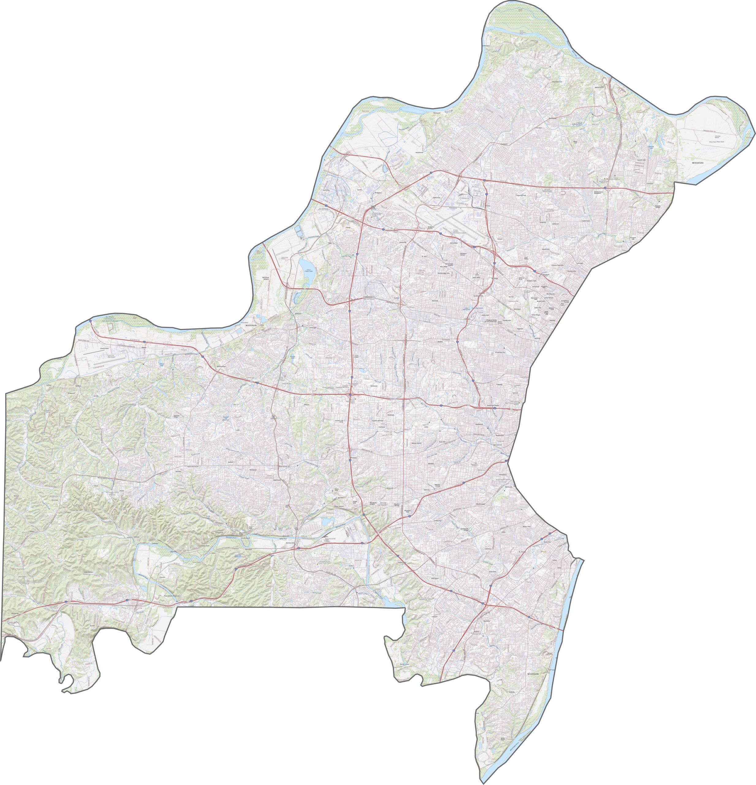
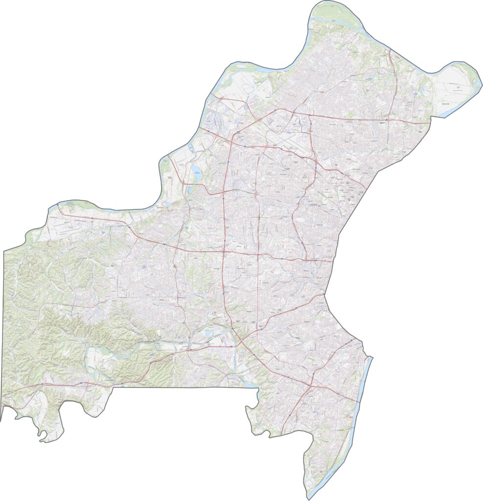
St. Louis County is well connected by a network of major highways. Interstate 270 forms a large loop around the area, while I-70, I-64, and I-44 provide key east-west routes. These highways make getting around the county convenient, although traffic congestion and bottlenecks can still occur during busy times. Explore our map to get a closer look at the county's road network and discover some of the lesser-known routes along the way.
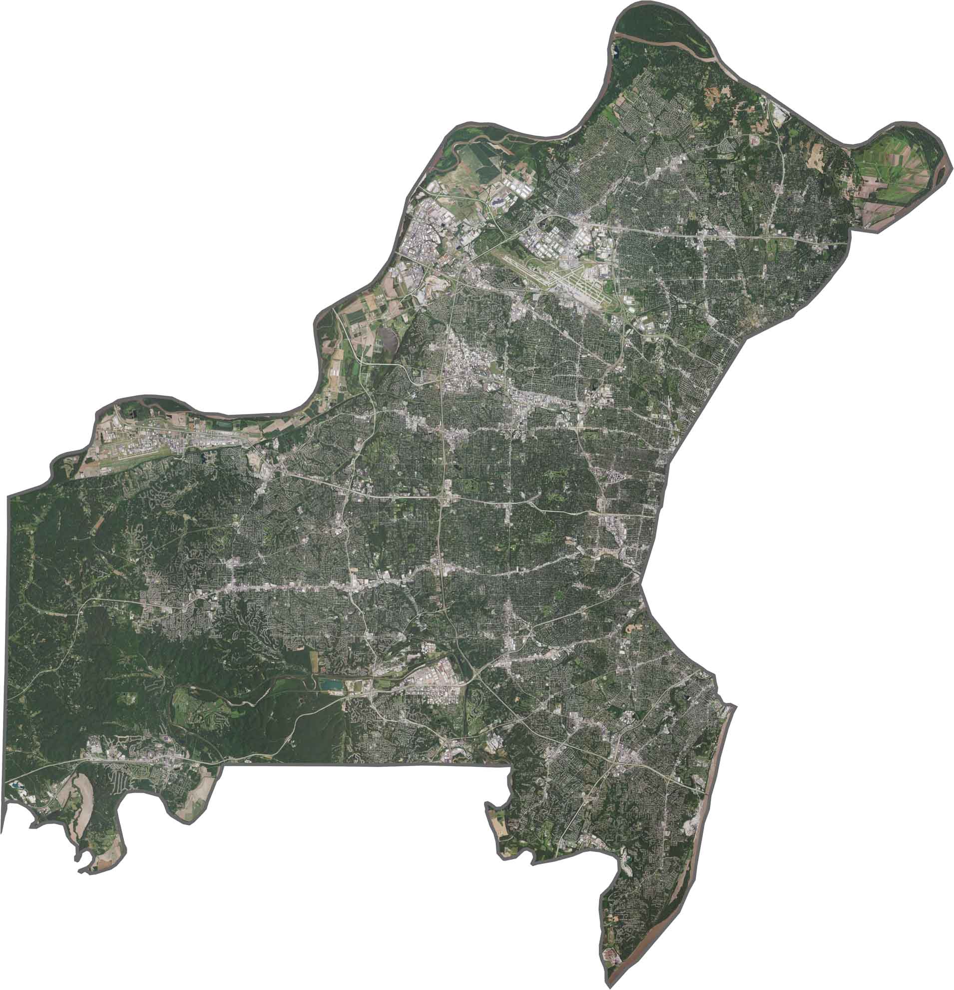
Our satellite map reveals a mix of bustling neighborhoods and natural landscapes. Residential communities stretch across the eastern and central parts of the county, while the Missouri River forms the western boundary. Despite the area's development, pockets of forest remain along the bluffs, adding a touch of natural beauty to the landscape.
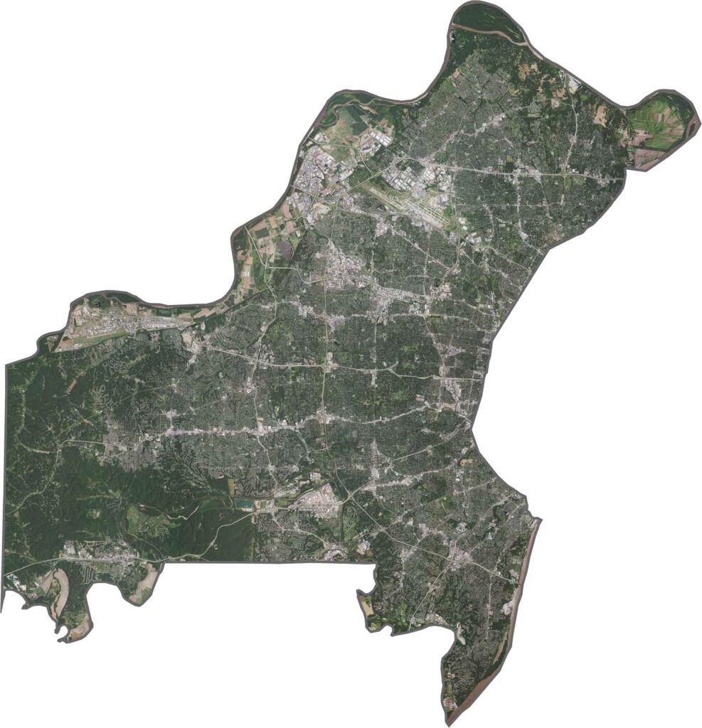
St. Louis County surrounds the city of St. Louis, creating a unique geographic layout. The Missouri River curves along the county's northwest boundary, while the Mississippi River forms much of its eastern edge. Although the county shares river boundaries with Illinois, most of its neighboring areas are other Missouri counties.