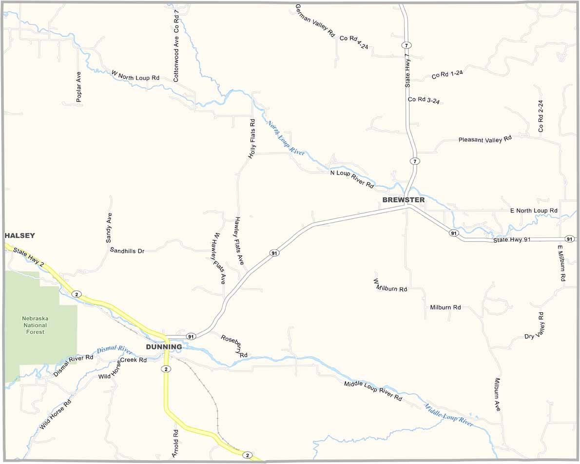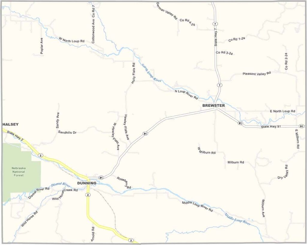
Blaine County Map, Nebraska

Blaine County, Nebraska

Blaine County is tucked away in the Sandhills region of north-central Nebraska, about as far off the beaten path as you can get. Brewster, the county seat, is tiny. We're talking fewer than 20 people!

But what it lacks in population, it makes up for in character. Twenty different characters, to be exact. The rolling hills covered in prairie grass make for some stunning sunsets, and ranching is the big industry here. You'll see more cattle than people most days.

The Middle Loup River runs through the county, offering good fishing spots, and wildlife lovers might spot sandhill cranes during migration season. It's one of the least populated counties in Nebraska, but for those who love wide-open spaces, Blaine County is hard to beat.
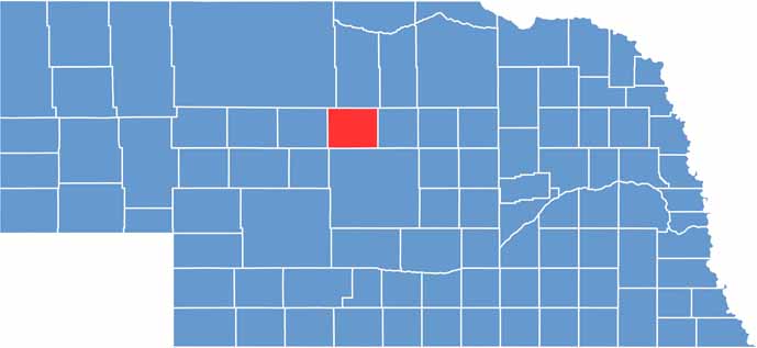

Blaine County location map of Nebraska
CategoryDetails
County NameBlaine County
County SeatBrewster
EtymologyNamed after James G. Blaine, a statesman and politician
Cities, Towns, and CommunitiesBrewster, Dunning, Purdum
Interstates and HighwaysNE 91, NE 2
FIPS Code31-009
Total Area (Land and Water)715 square miles (Land: 711 sq mi, Water: 4 sq mi)
Adjacent Counties (and Direction)Loup County (East), Custer County (South), Logan County (Southwest), Thomas County (West), Cherry County (Northwest), Brown County (North)
Time ZoneCentral Time Zone (CT)
StateNebraska
Coordinates41.9336° N, 99.8280° W
Major LandmarksNebraska National Forest (Bessey Ranger District), Calamus Reservoir State Recreation Area
PopulationApproximately 450
Scroll to Top