
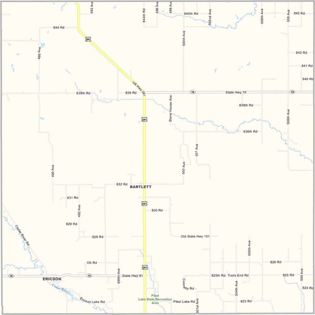
Wheeler County Map, Nebraska

Wheeler County, Nebraska

Wheeler County sits right in the middle of Nebraska. Bartlett, the county seat, has fewer than 100 people, and the whole county is home to only about 800 folks.

Ranching is the main gig here, and the Cedar River runs through the county, making for some good fishing.

The landscape is a mix of rolling hills and grasslands, beautiful in that quiet Nebraska way. There's not much excitement, but for some, that's the appeal. It's small town Nebraska at its finest.
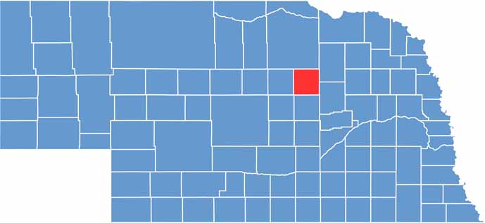

Wheeler County location map of Nebraska
CategoryDetails
County NameWheeler County
County SeatBartlett
EtymologyNamed after Major Daniel H. Wheeler, a member of the State Legislature
Cities, Towns, and CommunitiesBartlett, Ericson
Interstates and HighwaysNebraska Highway 91, Nebraska Highway 70
FIPS Code31-183
Total Area (Land and Water)576 square miles (575 sq mi land, 1 sq mi water)
Adjacent Counties (and Direction)Antelope County (Northeast), Boone County (Southeast), Greeley County (South), Valley County (Southwest), Garfield County (West), Holt County (North)
Time ZoneCentral Time Zone (CT)
StateNebraska
Coordinates41.8958° N, 98.5502° W
Major LandmarksCalamus Reservoir State Recreation Area
PopulationApproximately 800
Scroll to Top





