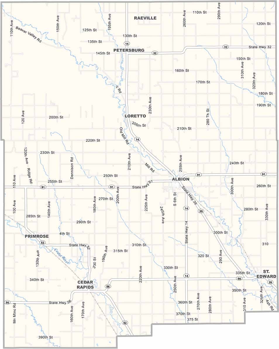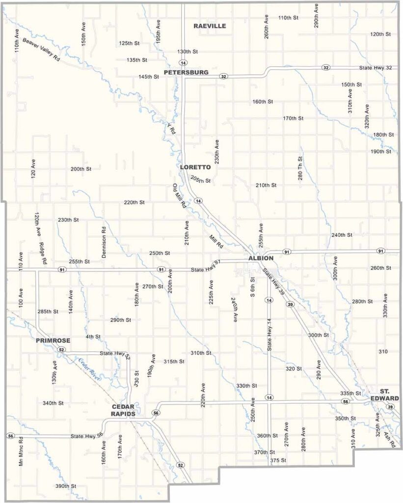
Boone County Map, Nebraska

Boone County, Nebraska

Boone County sits right in the heart of Nebraska and is named after Daniel Boone, the famous American pioneer. Albion, the county seat, is a friendly little town with a big heart.

Beaver Creek runs through the county, perfect for a lazy afternoon of fishing. Corn is king in these parts, and while winters can be rough, locals take it in stride. There's a strong sense of community, especially during the county fair each summer.

Visitors might enjoy checking out the old railroad depot in Petersburg. The night sky out here is something else, with no light pollution to speak of, and birdwatchers should keep an eye out for sandhill cranes during migration season.
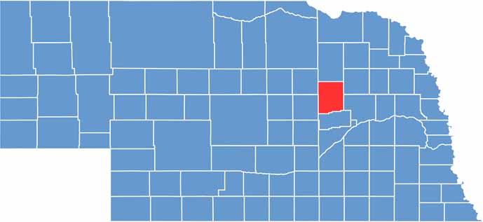

Boone County location map of Nebraska
CategoryDetails
County NameBoone County
County SeatAlbion
EtymologyNamed after Daniel Boone, a famous American frontiersman
Cities, Towns, and CommunitiesAlbion, St. Edward, Cedar Rapids, Petersburg, Loretto, Boone
Interstates and HighwaysNE 14, NE 39, NE 52
FIPS Code31-011
Total Area (Land and Water)687 square miles (Land: 687 sq mi, Water: 0.1 sq mi)
Adjacent Counties (and Direction)Madison County (Northeast), Platte County (Southeast), Nance County (South), Greeley County (Southwest), Wheeler County (Northwest), Antelope County (North)
Time ZoneCentral Time Zone (CT)
StateNebraska
Coordinates41.6976° N, 98.0666° W
Major LandmarksBoone County Museum, Albion Sports Complex, Cedar Rapids State Recreation Area
PopulationApproximately 5,300
Scroll to Top