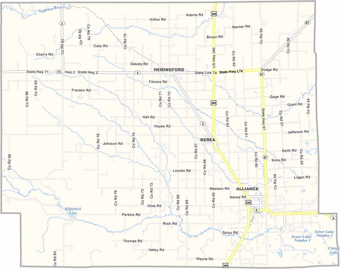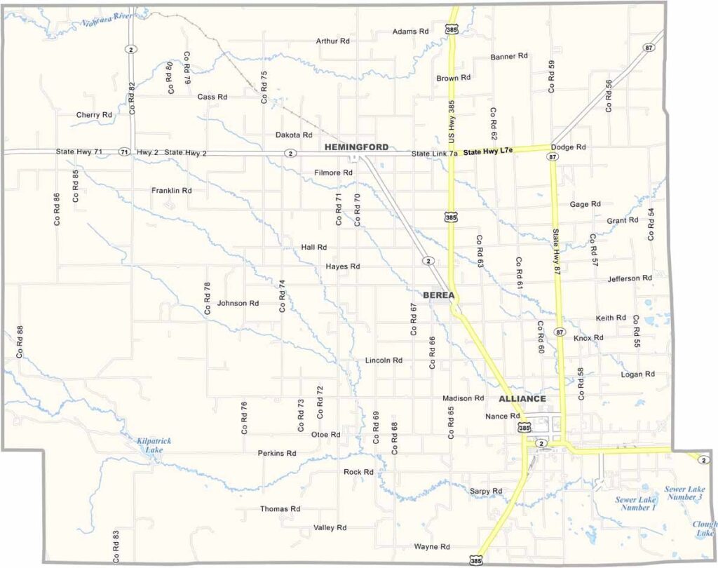
Box Butte County Map, Nebraska

Box Butte County, Nebraska

Box Butte County sits up in the Nebraska Panhandle and takes its name from a large, flat-topped butte north of Alliance, the county seat. This place is all about wide-open spaces and big sky country.

Carhenge, a quirky replica of Stonehenge made from old cars, is a MUST-SEE local attraction, so put it at the top of your list. You'll find it near the city of Alliance.

Ranching is a big deal here, so you'll see plenty of cattle grazing on the prairie grass. The Museum of the Fur Trade is just a stone's throw away in neighboring Dawes County and is worth a visit if you're into that sort of thing.
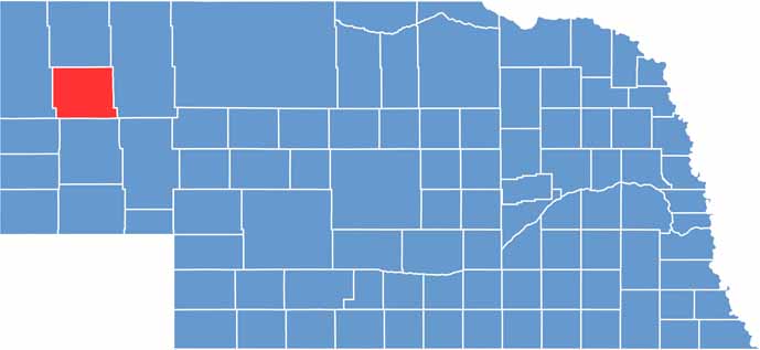

Box Butte County location map of Nebraska
CategoryDetails
County NameBox Butte County
County SeatAlliance
EtymologyNamed after a large box-shaped butte located in the county
Cities, Towns, and CommunitiesAlliance, Hemingford, Berea
Interstates and HighwaysUS 385, US 87, NE 2
FIPS Code31-013
Total Area (Land and Water)1,078 square miles (Land: 1,075 sq mi, Water: 3 sq mi)
Adjacent Counties (and Direction)Dawes County (North), Sheridan County (East), Morrill County (South), Scotts Bluff County (Southwest), Sioux County (West)
Time ZoneMountain Time Zone (MT)
StateNebraska
Coordinates42.1375° N, 103.0906° W
Major LandmarksCarhenge, Box Butte Reservoir State Recreation Area, Dobby’s Frontier Town
PopulationApproximately 11,000
Scroll to Top