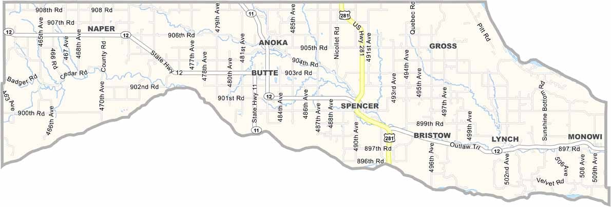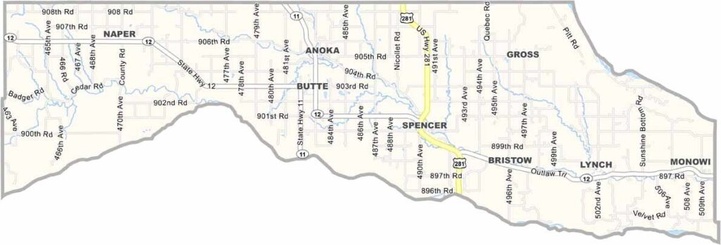
Boyd County Map, Nebraska

Boyd County, Nebraska

Boyd County sits up in the northeastern corner of Nebraska, right on the South Dakota border, about as far from big city life as you can get.

The Niobrara River forms the county's southern border, while the Missouri River forms its eastern border. Both rivers create some stunning scenery, and fishing is especially popular.

Butte is the county seat, and farming and ranching keep the local economy ticking. There's a strong German-American heritage here, evident in local festivals and cuisine, and the night sky out here is something to behold for stargazing.
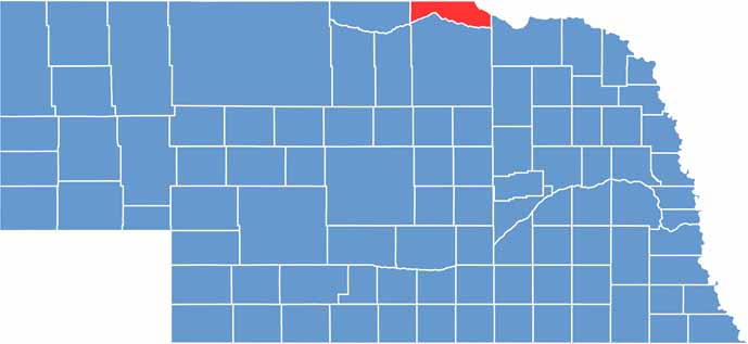

Boyd County location map of Nebraska
Category Details
County Name Pettis County
County Seat Sedalia
Cities, Towns, and Communities Sedalia, Smithton, La Monte, Green Ridge, Hughesville, Houstonia, Dresden, Beaman
Interstates and Highways US 50, US 65, MO 52, MO 135
Population Approximately 41,000
FIPS Code 29-159
Total Area (Land and Water) 686 square miles (Land: 682 sq mi, Water: 4 sq mi)
Time Zone Central Time Zone (CT)
State Missouri
Coordinates 38.7275° N, 93.2801° W
Etymology Named after Spencer Darwin Pettis, a U.S. Congressman from Missouri
Major Landmarks Missouri State Fairgrounds, Katy Trail State Park, Bothwell Lodge State Historic Site
Adjacent Counties (and Direction) Saline County (North), Cooper County (East), Morgan County (Southeast), Benton County (South), Henry County (Southwest), Johnson County (West), Lafayette County (Northwest)
Scroll to Top