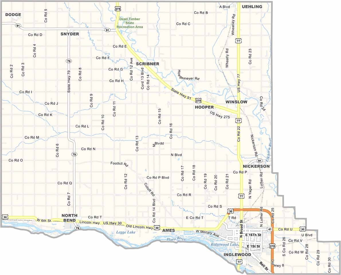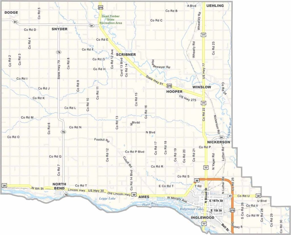
Dodge County Map, Nebraska

Dodge County, Nebraska

Dodge County is located in eastern Nebraska, where the past and present come together. Fremont serves as the county seat.

The Platte River forms the southern border, offering great spots for fishing and recreation. Agriculture is a major part of the local economy, while Fremont’s size also supports a fair amount of industry.

Dodge County is also known for its strong Czech heritage. It may not be a major tourist destination, but for those who enjoy small-town charm with a touch of city convenience, Dodge County has plenty to offer.
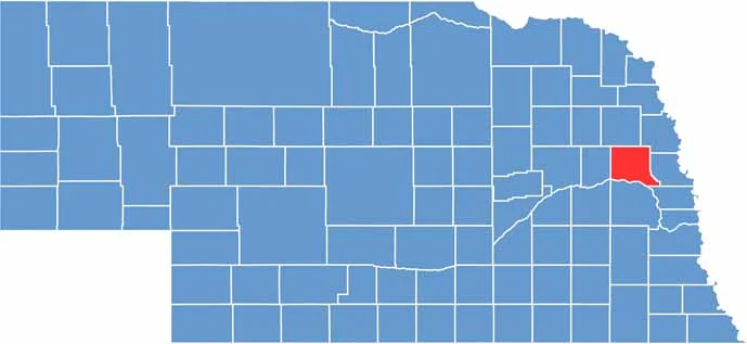

Dodge County location map of Nebraska
CategoryDetails
County NameDodge County
County SeatFremont
EtymologyNamed after Augustus C. Dodge, a U.S. Senator
Cities, Towns, and CommunitiesFremont, Hooper, North Bend, Scribner, Dodge, Uehling, Inglewood, Nickerson
Interstates and HighwaysUS 30, US 77, NE 79, NE 91
FIPS Code31-053
Total Area (Land and Water)543 square miles (Land: 529 sq mi, Water: 14 sq mi)
Adjacent Counties (and Direction)Burt County (Northeast), Washington County (East), Douglas County (Southeast), Saunders County (South), Colfax County (West), Cuming County (North)
Time ZoneCentral Time Zone (CT)
StateNebraska
Coordinates41.6476° N, 96.6427° W
Major LandmarksFremont Lakes State Recreation Area, Midland University, Louis E. May Museum
PopulationApproximately 37,000
Scroll to Top