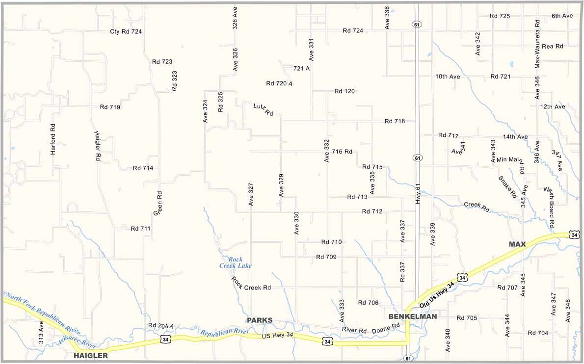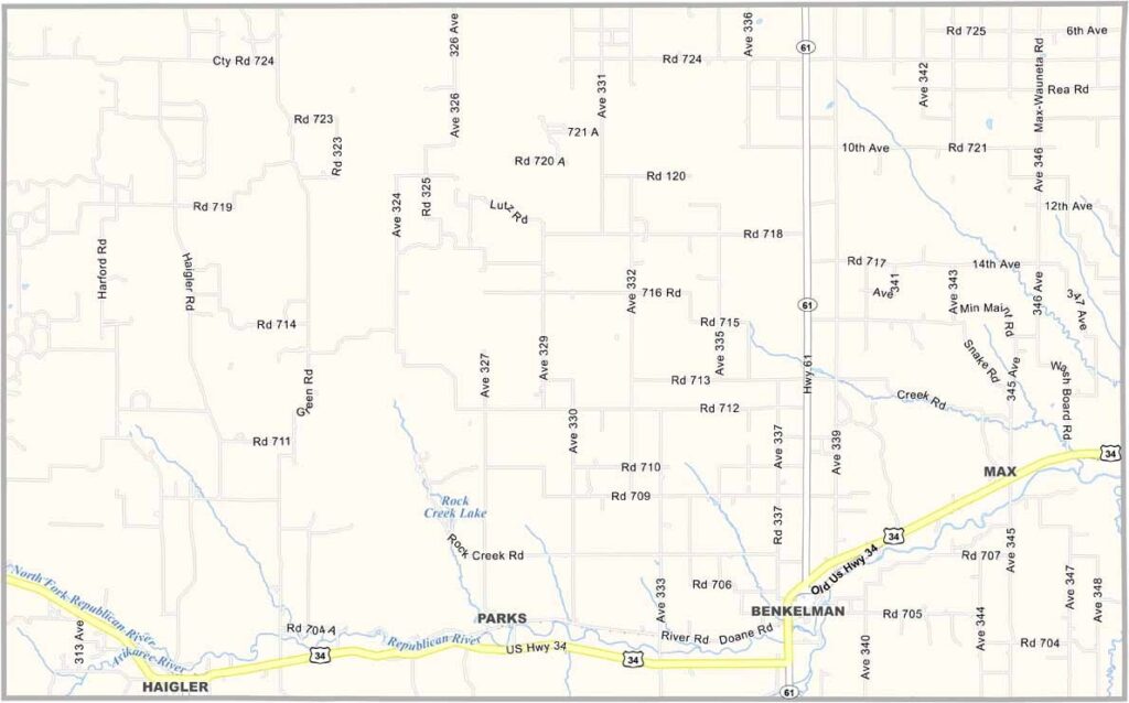
Dundy County Map, Nebraska

Dundy County, Nebraska

Dundy County is located in the southwestern corner of Nebraska, bordering both Kansas and Colorado. Benkelman serves as the county seat and is a small town with plenty of character.

The landscape has that classic High Plains feel, with wide-open spaces and the occasional creek or canyon breaking up the scenery. Farming and ranching are the main industries, with wheat and cattle being the biggest players.

The county also has some interesting history, including connections to the Dust Bowl era. If you enjoy nature, Rock Creek State Fish Hatchery is worth checking out. It’s a peaceful place for a picnic or some fishing.
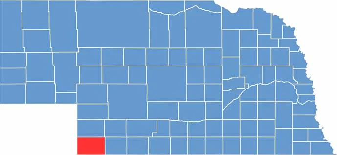

Dundy County location map of Nebraska
CategoryDetails
County NameDundy County
County SeatBenkelman
EtymologyNamed after Elmer Scipio Dundy, a Nebraska judge
Cities, Towns, and CommunitiesBenkelman, Max, Haigler, Parks
Interstates and HighwaysUS 34, US 6, NE 61
FIPS Code31-057
Total Area (Land and Water)923 square miles (Land: 920 sq mi, Water: 3 sq mi)
Adjacent Counties (and Direction)Hitchcock County (East), Rawlins County, Kansas (Southeast), Cheyenne County, Kansas (South), Yuma County, Colorado (West), Chase County (North), Hayes County (Northeast)
Time ZoneMountain Time Zone (MT)
StateNebraska
Coordinates40.0430° N, 101.7983° W
Major LandmarksRock Creek State Recreation Area, Benkelman City Park, Hilltop Hill Wildlife Management Area
PopulationApproximately 1,700
Scroll to Top