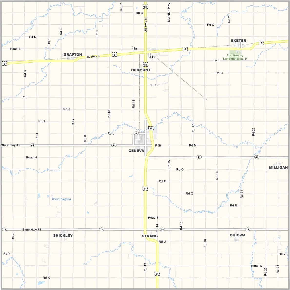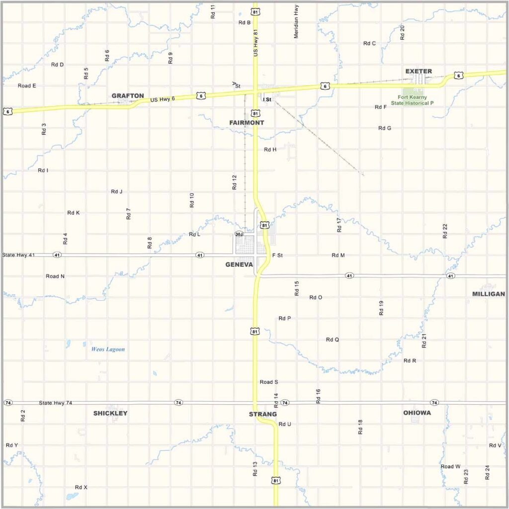
Fillmore County Map, Nebraska

Fillmore County, Nebraska

Fillmore County is located in southeastern Nebraska. Geneva serves as the county seat. Don’t confuse it with the one in Switzerland!

The county has a rich history, including its connection to the railroad. There are also some interesting local attractions to explore. U.S. Highway 81 runs through the area.

It may not be a major tourist destination, but Fillmore County has its own unique appeal. The landscape is mostly flat farmland, with fields of corn and soybeans stretching toward the horizon. But agriculture isn’t the only thing you’ll find here.
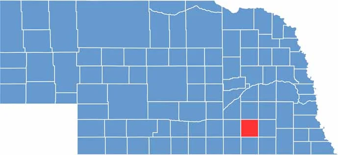

Fillmore County location map of Nebraska
CategoryDetails
County NameFillmore County
County SeatGeneva
EtymologyNamed after Millard Fillmore, the 13th President of the United States
Cities, Towns, and CommunitiesGeneva, Fairmont, Exeter, Shickley, Milligan, Grafton, Strang
Interstates and HighwaysUS 81, NE 41, NE 74
FIPS Code31-059
Total Area (Land and Water)577 square miles (Land: 576 sq mi, Water: 1 sq mi)
Adjacent Counties (and Direction)York County (North), Seward County (Northeast), Saline County (East), Jefferson County (Southeast), Thayer County (South), Nuckolls County (Southwest), Clay County (West), Hamilton County (Northwest)
Time ZoneCentral Time Zone (CT)
StateNebraska
Coordinates40.5278° N, 97.5989° W
Major LandmarksFillmore County Courthouse, Geneva City Park, Fairmont Army Airfield
PopulationApproximately 5,400
Scroll to Top