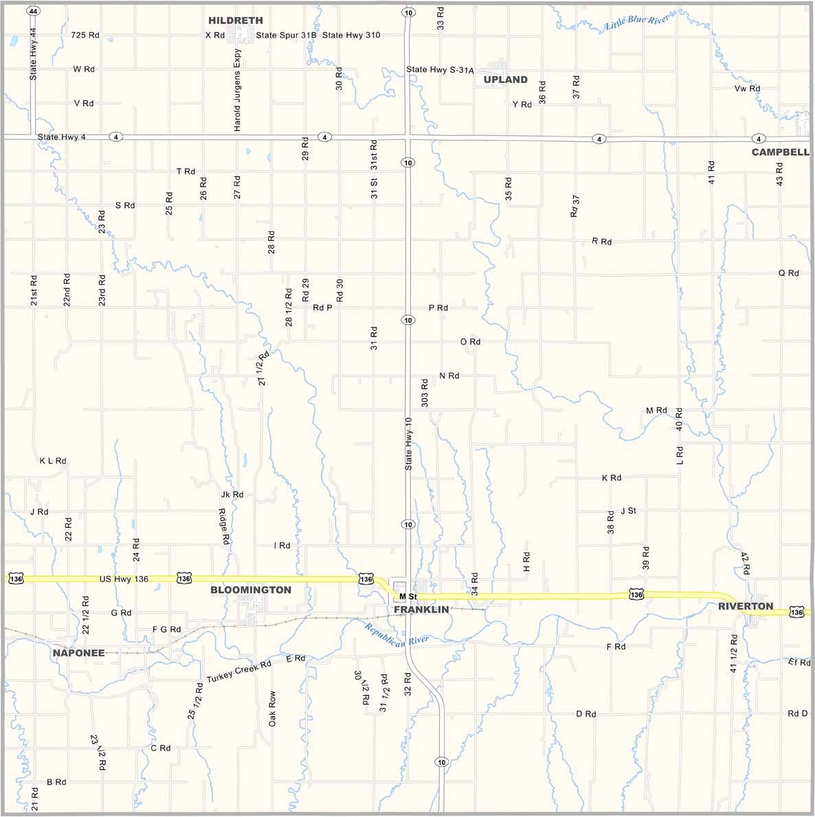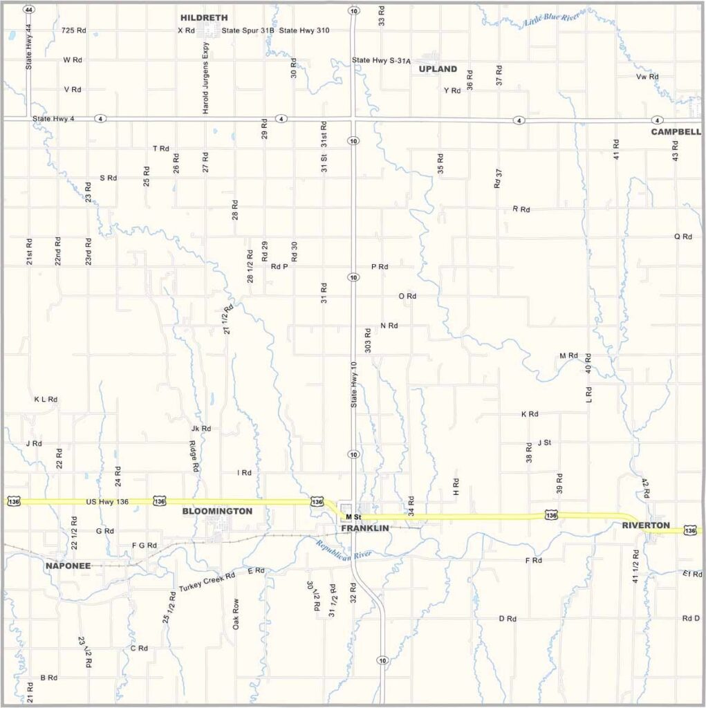
Franklin County Map, Nebraska

Franklin County, Nebraska

Franklin County is located in south-central Nebraska, right along the Kansas border. It’s farm country, where corn and cattle are king.

The Republican River flows through the county, providing water for the fields and pastures. Franklin serves as the county seat and is a small town with a big heart.

Life moves at a slower pace here, where neighbors still know each other by name. It’s the kind of place where Friday night football is a community event and the county fair is the highlight of the year.
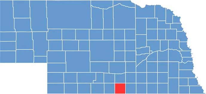

Franklin County location map of Nebraska
CategoryDetails
County NameFranklin County
County SeatFranklin
EtymologyNamed after Benjamin Franklin, one of the Founding Fathers of the United States
Cities, Towns, and CommunitiesFranklin, Hildreth, Riverton, Naponee, Bloomington
Interstates and HighwaysUS 136, NE 10
FIPS Code31-061
Total Area (Land and Water)576 square miles (Land: 576 sq mi, Water: 0.4 sq mi)
Adjacent Counties (and Direction)Kearney County (North), Webster County (East), Smith County, Kansas (Southeast), Phillips County, Kansas (Southwest), Harlan County (West), Phelps County (Northwest)
Time ZoneCentral Time Zone (CT)
StateNebraska
Coordinates40.1627° N, 98.9523° W
Major LandmarksFranklin County Historical Museum, Franklin City Park, Harlan County Reservoir
PopulationApproximately 3,000
Scroll to Top