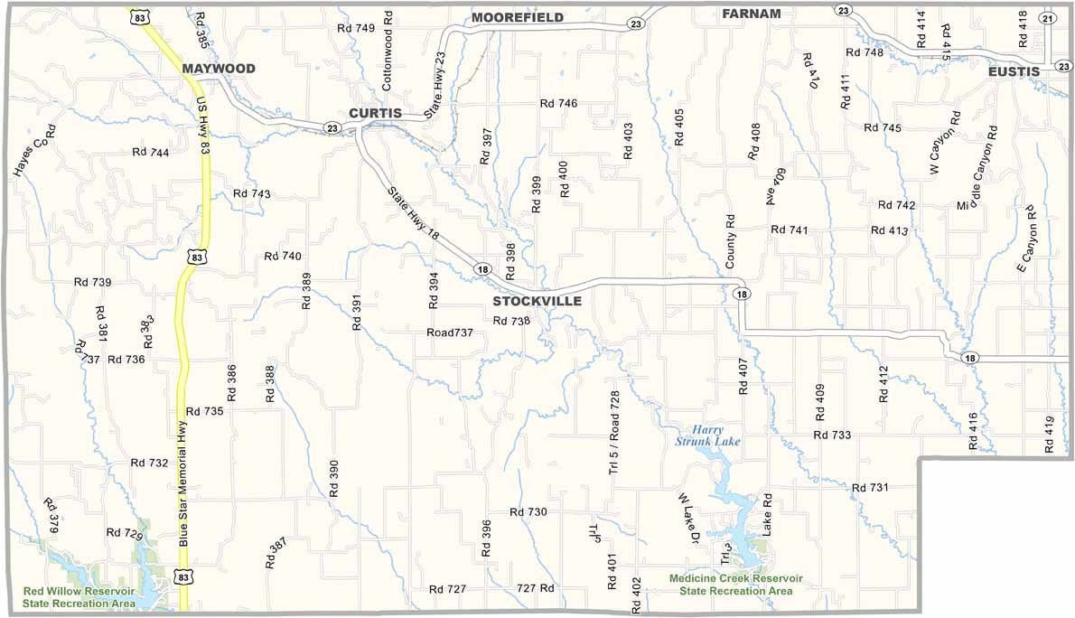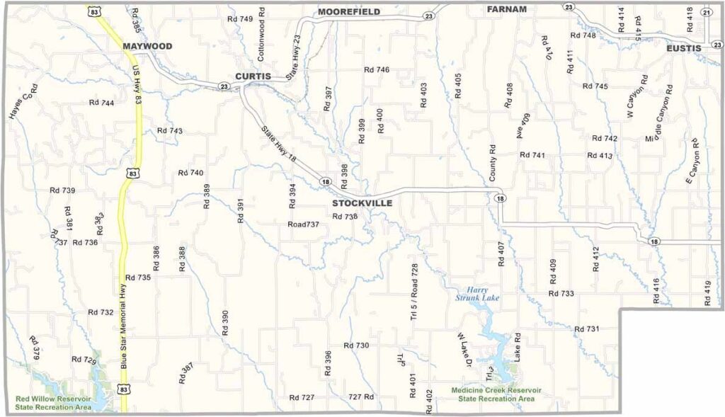
Frontier County Map, Nebraska

Frontier County, Nebraska

The wide-open prairies of southwestern Nebraska are home to Frontier County. The horizon seems to stretch forever, and the sky feels almost impossibly vast.

Cattle far outnumber people here. The county takes its name from its frontier history, and that pioneer spirit can still be felt today. Stockville serves as the county seat and has fewer than 50 residents.

But don’t let the small population fool you. There’s still plenty of life here. Medicine Creek Reservoir attracts fishermen and boaters from around the area. Farmers continue working the land, growing crops much like their great-grandparents did.
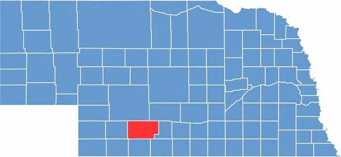

Frontier County location map of Nebraska
CategoryDetails
County NameFrontier County
County SeatStockville
EtymologyNamed for its location as the “frontier” or western boundary of Nebraska during its formation
Cities, Towns, and CommunitiesCurtis, Eustis, Stockville, Maywood, Moorefield
Interstates and HighwaysUS 83, NE 23
FIPS Code31-063
Total Area (Land and Water)980 square miles (Land: 975 sq mi, Water: 5 sq mi)
Adjacent Counties (and Direction)Gosper County (East), Furnas County (Southeast), Red Willow County (South), Hitchcock County (Southwest), Hayes County (West), Lincoln County (North), Dawson County (Northeast)
Time ZoneCentral Time Zone (CT)
StateNebraska
Coordinates40.5233° N, 100.3940° W
Major LandmarksMedicine Creek State Recreation Area, Nebraska College of Technical Agriculture
PopulationApproximately 2,600
Scroll to Top