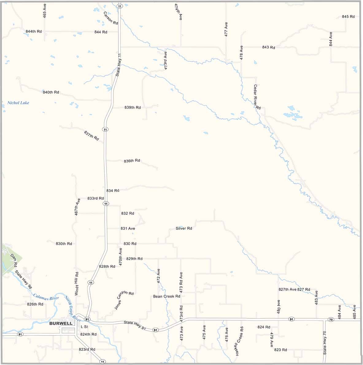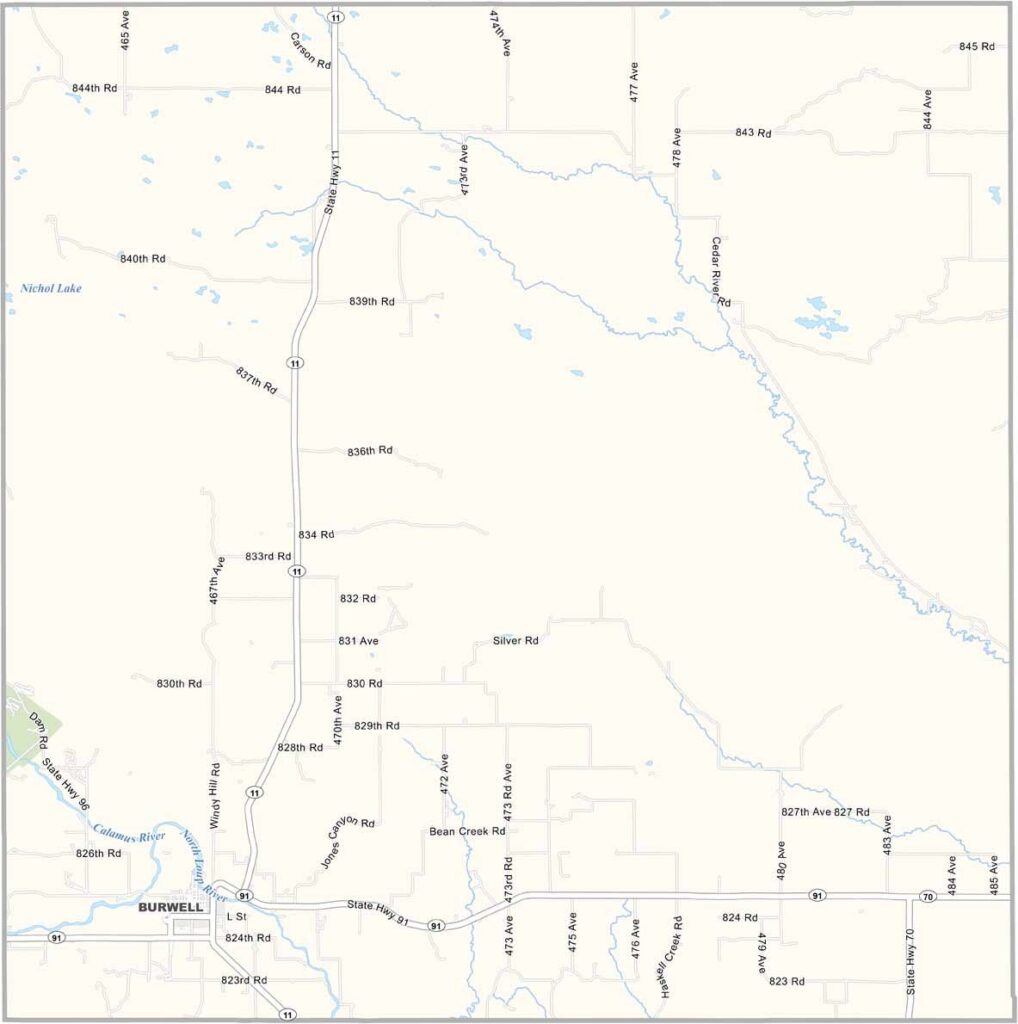
Garfield County Map, Nebraska

Garfield County, Nebraska

Garfield County is a small part of Nebraska, located in the north-central region of the state. Blink and you might miss it, but that would be a shame.

Burwell serves as the county seat and is the only town in the area. Beyond that, it’s mostly wide-open space. The North Loup River flows through the southern part of the county.

Ranching has always been a major part of life here. On most days, you’ll see more cows than people. But that doesn’t mean it’s boring. The Burwell Rodeo draws crowds every summer and is a major local event.
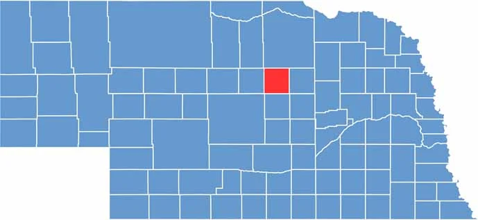

Garfield County location map of Nebraska
CategoryDetails
County NameGarfield County
County SeatBurwell
EtymologyNamed after James A. Garfield, the 20th President of the United States
Cities, Towns, and CommunitiesBurwell, Deverre, Gables, Calamus
Interstates and HighwaysUS 183, NE 11
FIPS Code31-071
Total Area (Land and Water)572 square miles (Land: 570 sq mi, Water: 2 sq mi)
Adjacent Counties (and Direction)Wheeler County (East), Valley County (South), Custer County (Southwest), Loup County (West), Holt County (North)
Time ZoneCentral Time Zone (CT)
StateNebraska
Coordinates41.9186° N, 99.1568° W
Major LandmarksCalamus Reservoir State Recreation Area, Fort Hartsuff State Historical Park, Garfield County Frontier Fair
PopulationApproximately 2,000
Scroll to Top