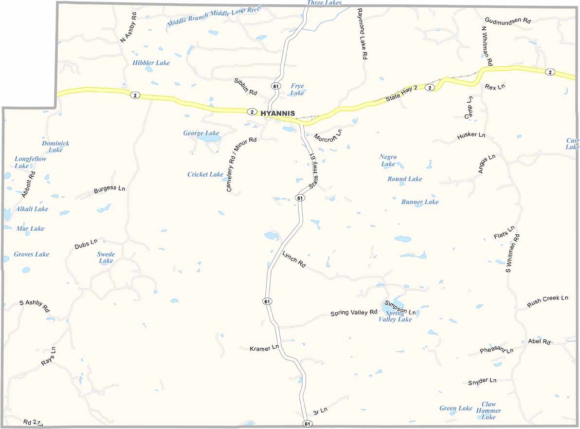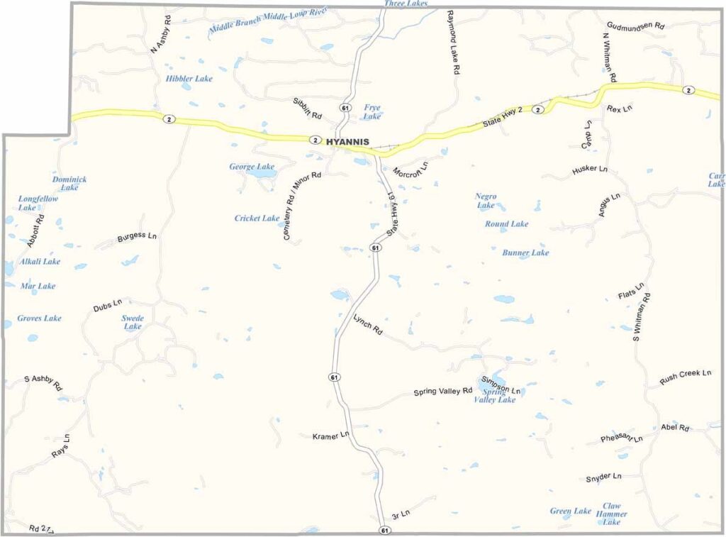
Grant County Map, Nebraska

Grant County, Nebraska

Grant County is located in western Nebraska and is part of the Sandhills region. It’s a landscape of miles and miles of rolling, grass-covered dunes.

Hyannis serves as the county seat. It’s tiny—we’re talking fewer than 200 residents. But it has everything you need. The entire county has only about 600 people. That’s it.

Ranching is the lifeblood of the area and has been for generations. The Ogallala Aquifer runs beneath the county, helping keep the land green even when rainfall is scarce. With only about 600 residents, Grant County is one of the least populous counties in Nebraska.
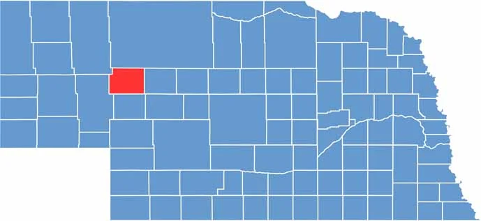

Grant County location map of Nebraska
CategoryDetails
County NameGrant County
County SeatHyannis
EtymologyNamed after Ulysses S. Grant, the 18th President of the United States
Cities, Towns, and CommunitiesHyannis, Whitman
Interstates and HighwaysUS 2, NE 61
FIPS Code31-075
Total Area (Land and Water)783 square miles (Land: 776 sq mi, Water: 7 sq mi)
Adjacent Counties (and Direction)Cherry County (North), Hooker County (East), Arthur County (South), Garden County (West), Sheridan County (Northwest)
Time ZoneMountain Time Zone (MT)
StateNebraska
Coordinates41.9204° N, 101.7318° W
Major LandmarksCrescent Lake National Wildlife Refuge, Sandhills Journey Scenic Byway, Hyannis Lake
PopulationApproximately 600
Scroll to Top