
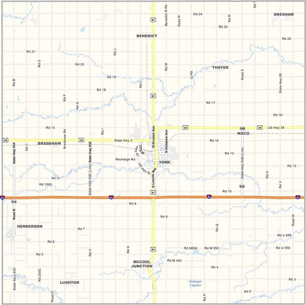
York County Map, Nebraska

York County, Nebraska

York County calls east-central Nebraska home. York, the county seat and largest town, shares its name with the county, and its location right on Interstate 80 makes it a popular stop for travelers.

The county is mostly farmland with some industry mixed in, which keeps the rural economy diverse. York College also brings a youthful energy to the area.

One advantage is that the county is close enough to Lincoln for day trips, yet far enough out to keep that small-town feel. You can see the pride people have in their community in the well-kept homes and thriving businesses.
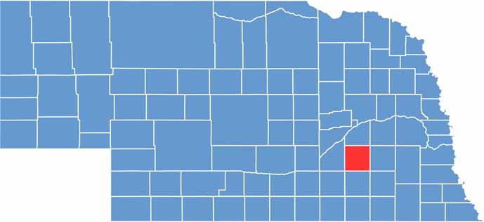

York County location map of Nebraska
CategoryDetails
County NameYork County
County SeatYork
EtymologyNamed after York County, Pennsylvania, which was named after the English city of York
Cities, Towns, and CommunitiesYork, Henderson, Bradshaw, Benedict, McCool Junction, Gresham
Interstates and HighwaysInterstate 80, U.S. Highway 81, Nebraska Highway 69, Nebraska Highway 93
FIPS Code31-185
Total Area (Land and Water)576 square miles (573 sq mi land, 3 sq mi water)
Adjacent Counties (and Direction)Butler County (Northeast), Seward County (East), Saline County (Southeast), Fillmore County (South), Clay County (Southwest), Hamilton County (West), Polk County (North)
Time ZoneCentral Time Zone (CT)
StateNebraska
Coordinates40.8671° N, 97.5981° W
Major LandmarksWessels Living History Farm, York Area Children’s Museum, Recharge Lake
PopulationApproximately 13,500
Scroll to Top





